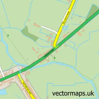
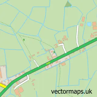
This Cross street map is a detailed vector street map covering a 750m x 750m area. Select a larger area to create and download your own vector street map of Cross.
The 750-metre map sample for Cross covers 129 mapped buildings and approximately 5.5 km of road detail, of which 5 named roads are named. The immediate area includes 2 GP surgeries within 2 miles, 3 pubs and 1 MOT station within 2 miles. The wider area around Cross features 3 food and drink venues and 1 campsite within 2 miles. To create a larger or custom map of Cross, the map builder lets you define your own coverage area and download editable SVG, PDF and PNG files.
Create a larger editable map of Cross
Choose any area you need and generate a high-quality vector map instantly. Perfect for print, planning, design, business and personal use.

This Cross street map in Somerset is available as downloadable SVG, PDF and PNG map files, or as a printed map for planning, business, display, education, local information and design work. You can also create a larger custom map area using the map selector.
What this Cross map sample shows
Cross lies within Compton Bishop Cp parish, part of Axevale ward in the Somerset local authority area. The postcode geography for this area includes the BS postcode area, the BS26 postcode district and the BS26 2 postcode sector. Residents fall under the Nhs Somerset Integrated Care Board for NHS services.
Local features near Cross
Within 2 milesAmenities and services in and around Cross.
Administrative and postcode information for Cross
Cross lies within Compton Bishop Cp parish, part of Axevale ward in the Somerset local authority area. The postcode geography for this area includes the BS postcode area, the BS26 postcode district and the BS26 2 postcode sector. Residents fall under the Nhs Somerset Integrated Care Board for NHS services.
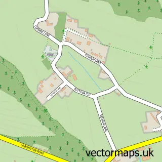
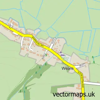
Nearby street map samples around Cross


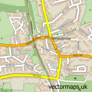
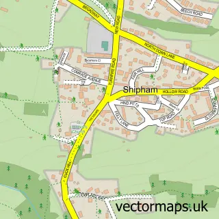
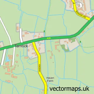
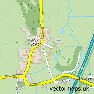
More street maps in Somerset
750 metre map area coverage
Boundary, postcode and point of interest information for the 750m x 750m rectangle centred on this sample map.
Boundaries containing map centre
Constituency: Wells and Mendip Hills Co Const
District: Somerset
Icb: NHS Somerset ICB
Parish: Compton Bishop CP
Police Force: avon and somerset
Postcode District: BS26
Postcode Sector: BS26 2
Nearby boundaries intersecting sample
Parish: Weare CP
Postcode coverage
POI category counts
Pub: 3
Charity Organization: 1
Doctor: 1
Driving School: 1
Funeral Services And Cemeteries: 1
Marketing Consultant: 1
Medical Transportation: 1
Naturopathic Holistic: 1
Sample points of interest
- The Frankie Howerd OBE Trust
- Caring Colon Cleansing
- Starfish Driving
- Simplicity Ceremonies
- Wiser Marketing
- Jefcare Services
- Windsor House Health
- New Inn
- The New Inn
- The White Hart
Create a larger editable map of Cross
This sample shows only a 750 metre area. To create a larger map of Cross, use our map builder to choose your own coverage area, add titles and download editable SVG, PDF and PNG files.
Create a custom map of Cross