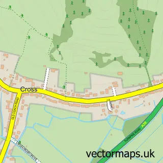
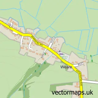
This Compton Bishop street map is a detailed vector street map covering a 750m x 750m area. Select a larger area to create and download your own vector street map of Compton Bishop.
The 750-metre map sample for Compton Bishop covers 70 mapped buildings and approximately 7.0 km of road detail, of which 7 named roads are named. The immediate area includes 2 MOT stations within 2 miles. The wider area around Compton Bishop features 1 tourism point of interest. To create a larger or custom map of Compton Bishop, the map builder lets you define your own coverage area and download editable SVG, PDF and PNG files.
Create a larger editable map of Compton Bishop
Choose any area you need and generate a high-quality vector map instantly. Perfect for print, planning, design, business and personal use.

This Compton Bishop street map in Somerset is available as downloadable SVG, PDF and PNG map files, or as a printed map for planning, business, display, education, local information and design work. You can also create a larger custom map area using the map selector.
What this Compton Bishop map sample shows
Compton Bishop lies within Compton Bishop Cp parish, part of Axevale ward in the Somerset local authority area. The postcode geography for this area includes the BS postcode area, the BS26 postcode district and the BS26 2 postcode sector. Residents fall under the Nhs Somerset Integrated Care Board for NHS services.
Local features near Compton Bishop
Within 2 milesAmenities and services in and around Compton Bishop.
Administrative and postcode information for Compton Bishop
The local authority covering Compton Bishop is Somerset, within the county of Somerset. The settlement lies within Axevale ward and Compton Bishop Cp civil parish. The BS26 postcode district and BS26 2 postcode sector serve the immediate area. NHS provision in the area is delivered through University Hospitals Bristol And Weston Nhs Foundation Trust.
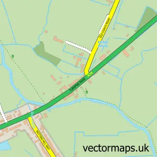
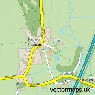
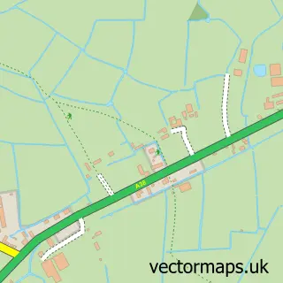
Nearby street map samples around Compton Bishop


More street maps in Somerset
750 metre map area coverage
Boundary, postcode and point of interest information for the 750m x 750m rectangle centred on this sample map.
Boundaries containing map centre
Constituency: Wells and Mendip Hills Co Const
District: Somerset
Icb: NHS Somerset ICB
Parish: Compton Bishop CP
Police Force: avon and somerset
Postcode District: BS26
Postcode Sector: BS26 2
Nearby boundaries intersecting sample
No additional intersecting boundaries found.
Postcode coverage
POI category counts
Anglican Church: 1
Building Supply Store: 1
Church Cathedral: 1
Furniture Assembly: 1
Landmark And Historical Building: 1
Pet Store: 1
Public Health Clinic: 1
Sample points of interest
- St Andrew, Compton Bishop
- K W Flooring
- St Andrew's Church
- Crook peak upholstery
- Picken's Hole
- The Boarding Kennels, Knoll View, Webbington Rd, Compton Bishop, Axbridge
- World Health Communication Associates
Create a larger editable map of Compton Bishop
This sample shows only a 750 metre area. To create a larger map of Compton Bishop, use our map builder to choose your own coverage area, add titles and download editable SVG, PDF and PNG files.
Create a custom map of Compton Bishop