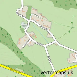
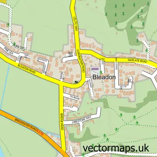
This Loxton street map is a detailed vector street map covering a 750m x 750m area. Select a larger area to create and download your own vector street map of Loxton.
The 750-metre map sample for Loxton covers 92 mapped buildings and approximately 13.3 km of road detail, of which 7 named roads are named. The immediate area includes 2 MOT stations within 2 miles. To create a larger or custom map of Loxton, the map builder lets you define your own coverage area and download editable SVG, PDF and PNG files.
Create a larger editable map of Loxton
Choose any area you need and generate a high-quality vector map instantly. Perfect for print, planning, design, business and personal use.

This Loxton street map in Somerset is available as downloadable SVG, PDF and PNG map files, or as a printed map for planning, business, display, education, local information and design work. You can also create a larger custom map area using the map selector.
What this Loxton map sample shows
Loxton lies within Loxton Cp parish, part of Banwell & Winscombe ward in the North Somerset local authority area. The postcode geography for this area includes the BS postcode area, the BS26 postcode district and the BS26 2 postcode sector. Residents fall under the Nhs Bristol, North Somerset And South Gloucestershire Integrated Care Board for NHS services.
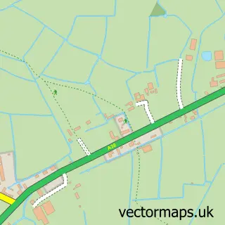
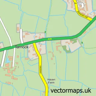
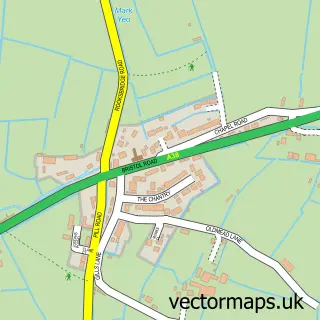
Local features near Loxton
Within 2 milesAmenities and services in and around Loxton.
Administrative and postcode information for Loxton
Loxton lies within Loxton Cp parish, part of Banwell & Winscombe ward in the North Somerset local authority area. The postcode geography for this area includes the BS postcode area, the BS26 postcode district and the BS26 2 postcode sector. Residents fall under the Nhs Bristol, North Somerset And South Gloucestershire Integrated Care Board for NHS services.
Nearby street map samples around Loxton


More street maps in Somerset
750 metre map area coverage
Boundary, postcode and point of interest information for the 750m x 750m rectangle centred on this sample map.
Boundaries containing map centre
Constituency: Wells and Mendip Hills Co Const
District: North Somerset
Icb: NHS Bristol North Somerset and South Gloucestershire ICB
Parish: Loxton CP
Police Force: avon and somerset
Postcode District: BS26
Postcode Sector: BS26 2
Ward: Banwell & Winscombe Ward
Nearby boundaries intersecting sample
District: Somerset
Icb: NHS Somerset ICB
Parish: Compton Bishop CP
Postcode coverage
POI category counts
Church Cathedral: 2
Home Organization: 2
Animal Shelter: 1
Arts And Entertainment: 1
Automotive Repair: 1
Bridal Shop: 1
Charity Organization: 1
Hair Salon: 1
Sample points of interest
- Riverside Cattery
- Loxton
- Loxton Garage
- The Radiant Ribbon Co
- Frankie Howerd Cafe and Hub
- Church of St Mary, Christon
- St Andrew
- The Barn
- South West Security Services
- South West Security Training
Create a larger editable map of Loxton
This sample shows only a 750 metre area. To create a larger map of Loxton, use our map builder to choose your own coverage area, add titles and download editable SVG, PDF and PNG files.
Create a custom map of Loxton