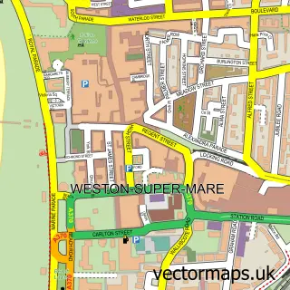
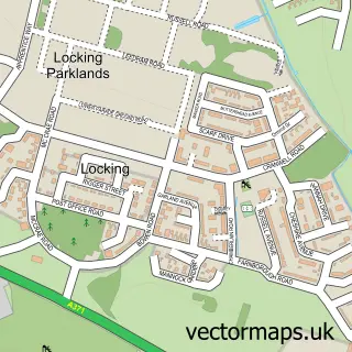
This West Wick street map is a detailed vector street map covering a 750m x 750m area. Select a larger area to create and download your own vector street map of West Wick.
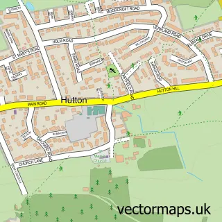
The 750-metre map sample for West Wick covers 484 mapped buildings and approximately 23.4 km of road detail, of which 33 named roads are named. The immediate area includes 3 GP surgeries within 2 miles, 2 pubs and 13 MOT stations within 2 miles. The wider area around West Wick features 2 food and drink venues and 2 campsites within 2 miles. To create a larger or custom map of West Wick, the map builder lets you define your own coverage area and download editable SVG, PDF and PNG files.
Create a larger editable map of West Wick
Choose any area you need and generate a high-quality vector map instantly. Perfect for print, planning, design, business and personal use.

This West Wick street map in Somerset is available as downloadable SVG, PDF and PNG map files, or as a printed map for planning, business, display, education, local information and design work. You can also create a larger custom map area using the map selector.
What this West Wick map sample shows
West Wick lies within St. Georges Cp parish, part of Wick St Lawrence & St Georges ward in the North Somerset local authority area. The postcode geography for this area includes the BS postcode area, the BS24 postcode district and the BS24 7 postcode sector. Residents fall under the Nhs Bristol, North Somerset And South Gloucestershire Integrated Care Board for NHS services.
Local features near West Wick
Within 2 milesAmenities and services in and around West Wick.
Administrative and postcode information for West Wick
The local authority covering West Wick is North Somerset, within the county of Somerset. The settlement lies within Wick St Lawrence & St Georges ward and St. Georges Cp civil parish. The BS24 postcode district and BS24 7 postcode sector serve the immediate area. NHS provision in the area is delivered through University Hospitals Bristol And Weston Nhs Foundation Trust.
Nearby street map samples around West Wick

More street maps in Somerset
750 metre map area coverage
Boundary, postcode and point of interest information for the 750m x 750m rectangle centred on this sample map.
Boundaries containing map centre
Constituency: Weston-Super-Mare Co Const
District: North Somerset
Icb: NHS Bristol North Somerset and South Gloucestershire ICB
Parish: Weston-Super-Mare CP
Police Force: avon and somerset
Postcode District: BS24
Postcode Sector: BS24 7
Ward: Weston-super-Mare South Worle Ward
Nearby boundaries intersecting sample
Constituency: Wells and Mendip Hills Co Const
Parish: Banwell CP, St. Georges CP
Postcode District: BS22
Postcode Sector: BS22 6, BS22 7
Ward: Banwell & Winscombe Ward, Wick St. Lawrence & St. Georges Ward
Postcode coverage
POI category counts
Beauty And Spa: 2
Contractor: 2
Ev Charging Station: 2
Massage Therapy: 2
Mortgage Lender: 2
Pub: 2
Advertising Agency: 1
Assisted Living Facility: 1
Barbecue Restaurant: 1
Beauty Product Supplier: 1
Sample points of interest
- Enriched Creative
- Time For You North Somerset
- Miller & Carter Weston Gateway
- A Aesthetic Treatments and Teeth Whitening
- Forever Beauty
- A* Aesthetic Treatments And Teeth Whitening
- Box Bush Farm
- Barry Dunn Roofing
- Advocate Business Solutions Ltd.
- Maid 2 Clean Somerset North
- Matalan
- Hales Builders
Create a larger editable map of West Wick
This sample shows only a 750 metre area. To create a larger map of West Wick, use our map builder to choose your own coverage area, add titles and download editable SVG, PDF and PNG files.
Create a custom map of West Wick