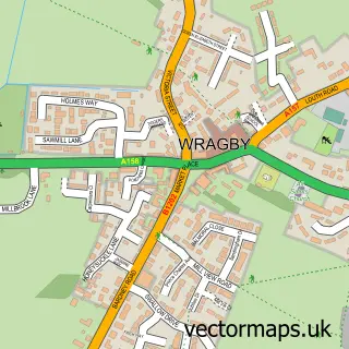
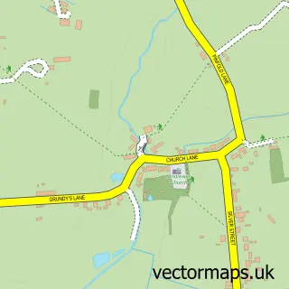
This Bardney street map is a detailed vector street map covering a 750m x 750m area. Select a larger area to create and download your own vector street map of Bardney.
The 750-metre map sample for Bardney covers 405 mapped buildings and approximately 13.3 km of road detail, of which 25 named roads are named. The immediate area includes 1 pub. The wider area around Bardney features 1 tourism point of interest and 4 food and drink venues. To create a larger or custom map of Bardney, the map builder lets you define your own coverage area and download editable SVG, PDF and PNG files.
Create a larger editable map of Bardney
Choose any area you need and generate a high-quality vector map instantly. Perfect for print, planning, design, business and personal use.

This Bardney street map in Lincolnshire is available as downloadable SVG, PDF and PNG map files, or as a printed map for planning, business, display, education, local information and design work. You can also create a larger custom map area using the map selector.
What this Bardney map sample shows
Bardney lies within Bardney Cp parish, part of Bardney ward in the West Lindsey District local authority area. The postcode geography for this area includes the LN postcode area, the LN3 postcode district and the LN3 5 postcode sector. Residents fall under the Nhs Lincolnshire Integrated Care Board for NHS services.
Local features near Bardney
Within 2 milesAmenities and services in and around Bardney.
Administrative and postcode information for Bardney
The local authority covering Bardney is West Lindsey District, within the county of Lincolnshire. The settlement lies within Bardney ward and Bardney Cp civil parish. The LN3 postcode district and LN3 5 postcode sector serve the immediate area. NHS provision in the area is delivered through United Lincolnshire Hospitals Nhs Trust.
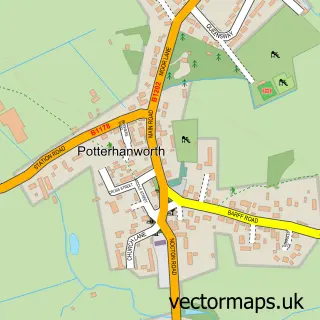
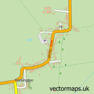
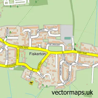
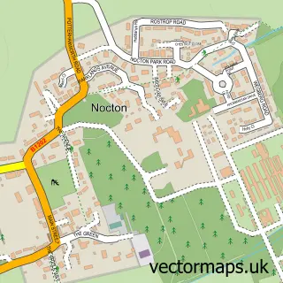
Nearby street map samples around Bardney

More street maps in Lincolnshire
750 metre map area coverage
Boundary, postcode and point of interest information for the 750m x 750m rectangle centred on this sample map.
Boundaries containing map centre
Constituency: Gainsborough Co Const
County: Lincolnshire County
District: West Lindsey District
Icb: NHS Lincolnshire ICB
Parish: Bardney CP
Police Force: lincolnshire
Postcode District: LN3
Postcode Sector: LN3 5
Ward: Bardney Ward
Nearby boundaries intersecting sample
No additional intersecting boundaries found.
Postcode coverage
POI category counts
Automotive Repair: 2
Massage Therapy: 2
Nursery And Gardening: 2
Package Locker: 2
Restaurant: 2
Acupuncture: 1
Assisted Living Facility: 1
Attractions And Activities: 1
Auto Body Shop: 1
Barber: 1
Sample points of interest
- R.F. Holistics
- Home From Home Care
- Bardney Playing Field
- Shane Graves Bodyworks
- Bardney Garage
- Plyline Lincs
- Letz Cutz
- Lincolnshire Co-op Bardney Food Store
- Lime Comms Ltd
- Post Office-Bardney
- Butcher of Bardney
- Hungry Pig
Create a larger editable map of Bardney
This sample shows only a 750 metre area. To create a larger map of Bardney, use our map builder to choose your own coverage area, add titles and download editable SVG, PDF and PNG files.
Create a custom map of Bardney