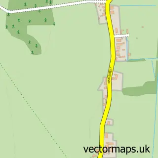
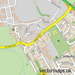
This Barnack street map is a detailed vector street map covering a 750m x 750m area. Select a larger area to create and download your own vector street map of Barnack.
The 750-metre map sample for Barnack covers 341 mapped buildings and approximately 14.5 km of road detail, of which 21 named roads are named. The immediate area includes 1 school, 1 pub and 1 MOT station within 2 miles. The wider area around Barnack features 2 food and drink venues. To create a larger or custom map of Barnack, the map builder lets you define your own coverage area and download editable SVG, PDF and PNG files.
Create a larger editable map of Barnack
Choose any area you need and generate a high-quality vector map instantly. Perfect for print, planning, design, business and personal use.

This Barnack street map in Cambridgeshire is available as downloadable SVG, PDF and PNG map files, or as a printed map for planning, business, display, education, local information and design work. You can also create a larger custom map area using the map selector.
What this Barnack map sample shows
Barnack lies within Barnack Cp parish, part of Barnack ward in the City Of Peterborough (B) local authority area. The postcode geography for this area includes the PE postcode area, the PE9 postcode district and the PE9 3 postcode sector. Residents fall under the Nhs Cambridgeshire And Peterborough Integrated Care Board for NHS services.
Local features near Barnack
Within 2 milesAmenities and services in and around Barnack.
Administrative and postcode information for Barnack
Barnack lies within Barnack Cp parish, part of Barnack ward in the City Of Peterborough (B) local authority area. The postcode geography for this area includes the PE postcode area, the PE9 postcode district and the PE9 3 postcode sector. Residents fall under the Nhs Cambridgeshire And Peterborough Integrated Care Board for NHS services.
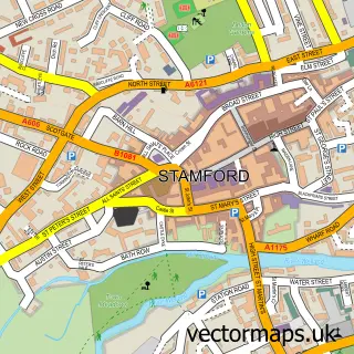
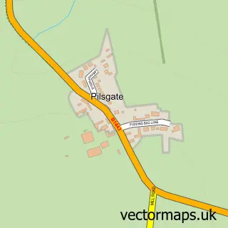
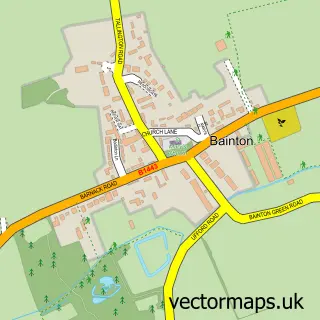
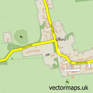
Nearby street map samples around Barnack

More street maps in Cambridgeshire
750 metre map area coverage
Boundary, postcode and point of interest information for the 750m x 750m rectangle centred on this sample map.
Boundaries containing map centre
Constituency: North West Cambridgeshire Co Const
District: City of Peterborough (B)
Icb: NHS Central East ICB
Parish: Barnack CP
Police Force: cambridgeshire
Postcode District: PE9
Postcode Sector: PE9 3
Ward: Barnack Ward
Nearby boundaries intersecting sample
No additional intersecting boundaries found.
Postcode coverage
POI category counts
Building Supply Store: 2
Post Office: 2
Preschool: 2
Accommodation: 1
Anglican Church: 1
Automotive Repair: 1
Automotive Services And Repair: 1
Car Dealer: 1
Church Cathedral: 1
Construction Services: 1
Sample points of interest
- Barnack Village Hall
- St John the Baptist's Church, Barnack
- Vertar
- JPD Installations
- Quality Kitchen Service
- Storm Bathrooms
- Hindmarch & Co (Stamford) Ltd
- St John the Baptist Church
- Fordson Developments
- S B Services
- Barnack C of E Primary School
- Greg Smith Wealth Management
Create a larger editable map of Barnack
This sample shows only a 750 metre area. To create a larger map of Barnack, use our map builder to choose your own coverage area, add titles and download editable SVG, PDF and PNG files.
Create a custom map of Barnack