This Wittering street map is a detailed vector street map covering a 750m x 750m area. Select a larger area to create and download your own vector street map of Wittering.
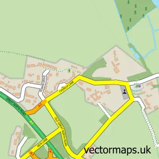
The 750-metre map sample for Wittering covers 239 mapped buildings and approximately 14.4 km of road detail, of which 26 named roads are named. The immediate area includes 1 school and 1 MOT station. To create a larger or custom map of Wittering, the map builder lets you define your own coverage area and download editable SVG, PDF and PNG files.
Create a larger editable map of Wittering
Choose any area you need and generate a high-quality vector map instantly. Perfect for print, planning, design, business and personal use.

This Wittering street map in Cambridgeshire is available as downloadable SVG, PDF and PNG map files, or as a printed map for planning, business, display, education, local information and design work. You can also create a larger custom map area using the map selector.
What this Wittering map sample shows
Wittering lies within Wittering Cp parish, part of Wittering ward in the City Of Peterborough (B) local authority area. The postcode geography for this area includes the PE postcode area, the PE8 postcode district and the PE8 6 postcode sector. Residents fall under the Nhs Cambridgeshire And Peterborough Integrated Care Board for NHS services.
Local features near Wittering
Within 2 milesAmenities and services in and around Wittering.
Administrative and postcode information for Wittering
Wittering lies within Wittering Cp parish, part of Wittering ward in the City Of Peterborough (B) local authority area. The postcode geography for this area includes the PE postcode area, the PE8 postcode district and the PE8 6 postcode sector. Residents fall under the Nhs Cambridgeshire And Peterborough Integrated Care Board for NHS services.
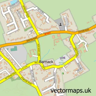
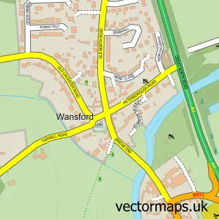
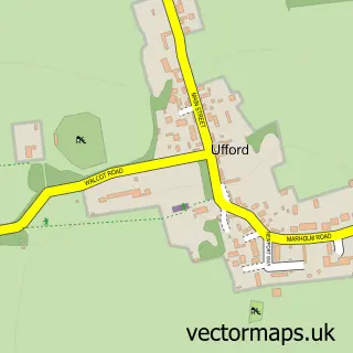
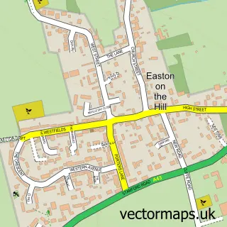
Nearby street map samples around Wittering

More street maps in Cambridgeshire
750 metre map area coverage
Boundary, postcode and point of interest information for the 750m x 750m rectangle centred on this sample map.
Boundaries containing map centre
Constituency: North West Cambridgeshire Co Const
District: City of Peterborough (B)
Icb: NHS Central East ICB
Parish: Wittering CP
Police Force: cambridgeshire
Postcode District: PE8
Postcode Sector: PE8 6
Ward: Wittering Ward
Nearby boundaries intersecting sample
No additional intersecting boundaries found.
Postcode coverage
POI category counts
Convenience Store: 3
Automotive Repair: 2
Barber: 1
Car Dealer: 1
Chinese Restaurant: 1
Community Center: 1
Cosmetic And Beauty Supplies: 1
Counseling And Mental Health: 1
Elementary School: 1
Farm: 1
Sample points of interest
- Casworth Motors
- Casworth Motors
- Diamond Scissors Barber Shop Wittering
- Car Firm
- Cafe delight
- Wittering Parish Hall
- Premier The Phoenix Convenience Store
- SPAR
- The Phoenix Shop
- Avon Cosmetics
- Be Understood Counselling
- Wittering Primary School
Create a larger editable map of Wittering
This sample shows only a 750 metre area. To create a larger map of Wittering, use our map builder to choose your own coverage area, add titles and download editable SVG, PDF and PNG files.
Create a custom map of Wittering