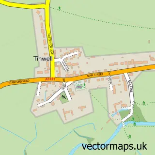
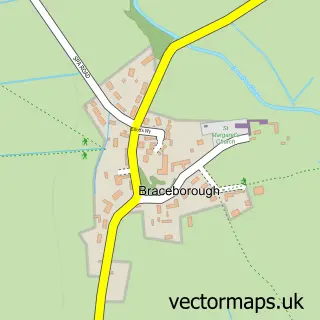
This Stamford street map is a detailed vector street map covering a 750m x 750m area. Select a larger area to create and download your own vector street map of Stamford.
The 750-metre map sample for Stamford covers 359 mapped buildings and approximately 23.1 km of road detail, of which 71 named roads are named. The immediate area includes 1 school, 1 GP surgery within 2 miles, 18 pubs and 1 MOT station, with 9 within 2 miles. The wider area around Stamford features 17 tourism points of interest, 51 food and drink venues and 5 hotels. To create a larger or custom map of Stamford, the map builder lets you define your own coverage area and download editable SVG, PDF and PNG files.
Create a larger editable map of Stamford
Choose any area you need and generate a high-quality vector map instantly. Perfect for print, planning, design, business and personal use.

This Stamford street map in Lincolnshire is available as downloadable SVG, PDF and PNG map files, or as a printed map for planning, business, display, education, local information and design work. You can also create a larger custom map area using the map selector.
What this Stamford map sample shows
Stamford lies within Stamford Cp parish, part of Stamford St Mary's ward in the South Kesteven District local authority area. The postcode geography for this area includes the PE postcode area, the PE9 postcode district and the PE9 2 postcode sector. Residents fall under the Nhs Lincolnshire Integrated Care Board for NHS services.
Local features near Stamford
Within 2 milesAmenities and services in and around Stamford.
Administrative and postcode information for Stamford
Stamford lies within Stamford Cp parish, part of Stamford St Mary's ward in the South Kesteven District local authority area. The postcode geography for this area includes the PE postcode area, the PE9 postcode district and the PE9 2 postcode sector. Residents fall under the Nhs Lincolnshire Integrated Care Board for NHS services.
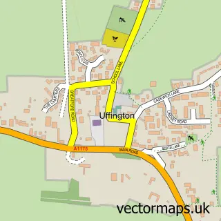
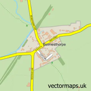
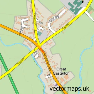
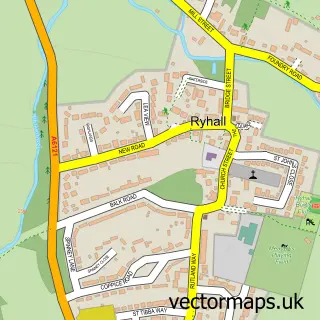
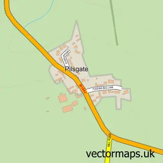
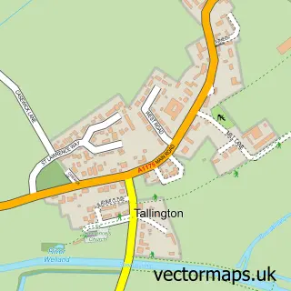
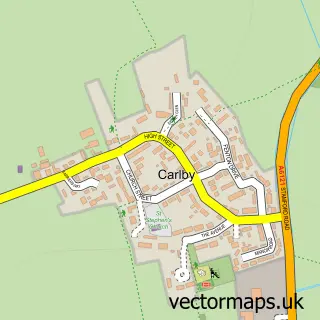
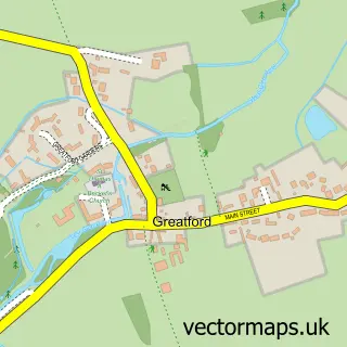
Nearby street map samples around Stamford

More street maps in Lincolnshire
750 metre map area coverage
Boundary, postcode and point of interest information for the 750m x 750m rectangle centred on this sample map.
Boundaries containing map centre
Constituency: Rutland and Stamford Co Const
County: Lincolnshire County
District: South Kesteven District
Icb: NHS Lincolnshire ICB
Parish: Stamford CP
Police Force: lincolnshire
Postcode District: PE9
Postcode Sector: PE9 2
Ward: Stamford St. Mary's Ward
Nearby boundaries intersecting sample
Constituency: North West Cambridgeshire Co Const
District: City of Peterborough (B)
Icb: NHS Central East ICB
Parish: St. Martin's Without CP
Police Force: cambridgeshire
Postcode Sector: PE9 1, PE9 3
Ward: Barnack Ward, Stamford St. George's Ward, Stamford St. John's Ward
Postcode coverage
POI category counts
Beauty Salon: 31
Hair Salon: 28
Clothing Store: 22
Real Estate Agent: 21
Professional Services: 20
Pub: 18
Cafe: 12
Coffee Shop: 11
Jewelry Store: 11
Charity Organization: 10
Sample points of interest
- West Street
- Brayshaw Morey
- Duncan & Toplis
- Hunter Stevens Ltd.
- Melbourn Brothers Stamford
- PSF Accounting
- TC Bulley Davey
- Burghley Park Golf Club
- Aquilia Acupuncture
- Duncan Ford Acupuncture Clinic
- Dsquared
- Hiseman
Create a larger editable map of Stamford
This sample shows only a 750 metre area. To create a larger map of Stamford, use our map builder to choose your own coverage area, add titles and download editable SVG, PDF and PNG files.
Create a custom map of Stamford