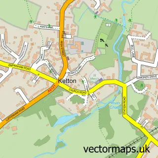
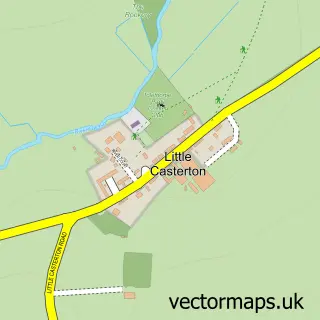
This Tinwell street map is a detailed vector street map covering a 750m x 750m area. Select a larger area to create and download your own vector street map of Tinwell.
The 750-metre map sample for Tinwell covers 123 mapped buildings and approximately 20.3 km of road detail, of which 7 named roads are named. The immediate area includes 7 MOT stations within 2 miles. The wider area around Tinwell features 1 hotel. To create a larger or custom map of Tinwell, the map builder lets you define your own coverage area and download editable SVG, PDF and PNG files.
Create a larger editable map of Tinwell
Choose any area you need and generate a high-quality vector map instantly. Perfect for print, planning, design, business and personal use.

This Tinwell street map in Rutland is available as downloadable SVG, PDF and PNG map files, or as a printed map for planning, business, display, education, local information and design work. You can also create a larger custom map area using the map selector.
What this Tinwell map sample shows
Tinwell lies within Tinwell Cp parish, part of Ketton ward in the Rutland local authority area. The postcode geography for this area includes the PE postcode area, the PE9 postcode district and the PE9 3 postcode sector. Residents fall under the Nhs Leicester, Leicestershire And Rutland Integrated Care Board for NHS services.
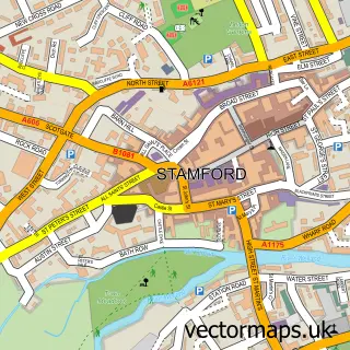
Local features near Tinwell
Within 2 milesAmenities and services in and around Tinwell.
Administrative and postcode information for Tinwell
Tinwell lies within Tinwell Cp parish, part of Ketton ward in the Rutland local authority area. The postcode geography for this area includes the PE postcode area, the PE9 postcode district and the PE9 3 postcode sector. Residents fall under the Nhs Leicester, Leicestershire And Rutland Integrated Care Board for NHS services.
Nearby street map samples around Tinwell

More street maps in Rutland
750 metre map area coverage
Boundary, postcode and point of interest information for the 750m x 750m rectangle centred on this sample map.
Boundaries containing map centre
Constituency: Rutland and Stamford Co Const
District: Rutland
Icb: NHS Leicester Leicestershire and Rutland ICB
Parish: Tinwell CP
Police Force: leicestershire
Postcode District: PE9
Postcode Sector: PE9 3
Ward: Ketton Ward
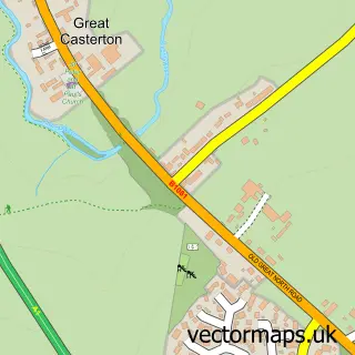
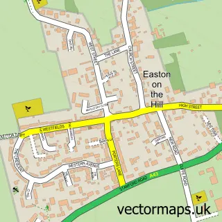
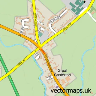
Nearby boundaries intersecting sample
Constituency: Corby and East Northamptonshire Co Const
District: North Northamptonshire
Icb: NHS Northamptonshire ICB
Parish: Easton on the Hill CP
Police Force: northamptonshire
Ward: Oundle Ward
Postcode coverage
POI category counts
Physical Therapy: 3
Advertising Agency: 1
Anglican Church: 1
Business: 1
Construction Services: 1
Doctor: 1
Event Planning: 1
Financial Advising: 1
Hotel: 1
Software Development: 1
Sample points of interest
- Redhouse Creative
- All Saints Tinwell
- Stamford & Rutland Pressure Washing
- Access4Lofts
- Clare House Physiotherapy
- Tinwell Village Hall
- Rutland Financial Services
- Rectory Cottage Rutland
- Cell Regeneration
- Clare House Physiotherapy
- MBST Medical UK
- Papaya IP LTD
Create a larger editable map of Tinwell
This sample shows only a 750 metre area. To create a larger map of Tinwell, use our map builder to choose your own coverage area, add titles and download editable SVG, PDF and PNG files.
Create a custom map of Tinwell