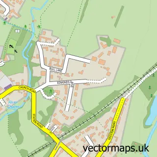
This Toll Bar street map is a detailed vector street map covering a 750m x 750m area. Select a larger area to create and download your own vector street map of Toll Bar.
The 750-metre map sample for Toll Bar covers 153 mapped buildings and approximately 16.5 km of road detail, of which 8 named roads are named. The immediate area includes 1 pub and 3 MOT stations within 2 miles. The wider area around Toll Bar features 1 tourism point of interest and 4 food and drink venues. To create a larger or custom map of Toll Bar, the map builder lets you define your own coverage area and download editable SVG, PDF and PNG files.
Create a larger editable map of Toll Bar
Choose any area you need and generate a high-quality vector map instantly. Perfect for print, planning, design, business and personal use.

This Toll Bar street map in Rutland is available as downloadable SVG, PDF and PNG map files, or as a printed map for planning, business, display, education, local information and design work. You can also create a larger custom map area using the map selector.
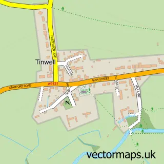
What this Toll Bar map sample shows
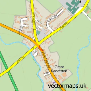
Toll Bar lies within Great Casterton Cp parish, part of Ryhall & Casterton ward in the Rutland local authority area. The postcode geography for this area includes the PE postcode area, the PE9 postcode district and the PE9 4 postcode sector. Residents fall under the Nhs Leicester, Leicestershire And Rutland Integrated Care Board for NHS services.
Local features near Toll Bar
Within 2 milesAmenities and services in and around Toll Bar.
Administrative and postcode information for Toll Bar
Toll Bar lies within Great Casterton Cp parish, part of Ryhall & Casterton ward in the Rutland local authority area. The postcode geography for this area includes the PE postcode area, the PE9 postcode district and the PE9 4 postcode sector. Residents fall under the Nhs Leicester, Leicestershire And Rutland Integrated Care Board for NHS services.
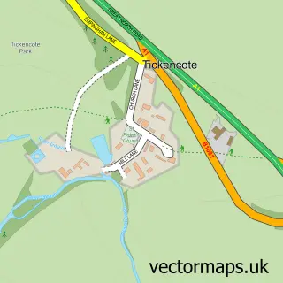
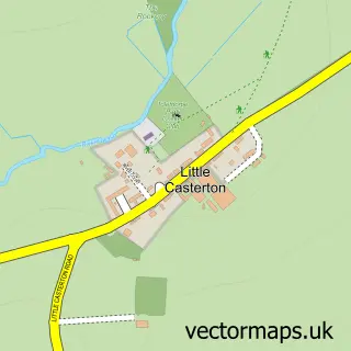
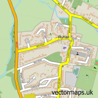
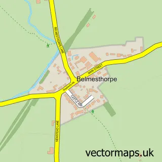
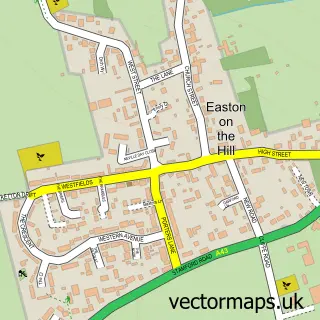
Nearby street map samples around Toll Bar
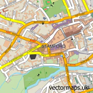

More street maps in Rutland
750 metre map area coverage
Boundary, postcode and point of interest information for the 750m x 750m rectangle centred on this sample map.
Boundaries containing map centre
Constituency: Rutland and Stamford Co Const
District: Rutland
Icb: NHS Leicester Leicestershire and Rutland ICB
Parish: Little Casterton CP
Police Force: leicestershire, lincolnshire
Postcode District: PE9
Postcode Sector: PE9 4
Ward: Ryhall & Casterton Ward
Nearby boundaries intersecting sample
County: Lincolnshire County
District: South Kesteven District
Icb: NHS Lincolnshire ICB
Parish: Great Casterton CP, Stamford CP, Tinwell CP
Ward: Ketton Ward, Stamford St. John's Ward
Postcode coverage
POI category counts
Cafe: 2
Church Cathedral: 2
Active Life: 1
Anglican Church: 1
Auto Detailing: 1
Beauty Salon: 1
Building Contractor: 1
Campground: 1
Chimney Sweep: 1
Chiropractor: 1
Sample points of interest
- Rob's Online Fitness
- St Peter & St Paul Great Casterton
- DSJ Automotive and Detailing
- The Ivy Lodge Hair and Beauty
- Woodhouse & Sturnham Ltd.
- Casterton Garden Kitchen
- Club House Cafe
- Road End Caravan Park
- Glo-More Ltd.
- The Chiropractic Hub
- Great Casterton Church
- St Peter and St Paul's Church
Create a larger editable map of Toll Bar
This sample shows only a 750 metre area. To create a larger map of Toll Bar, use our map builder to choose your own coverage area, add titles and download editable SVG, PDF and PNG files.
Create a custom map of Toll Bar