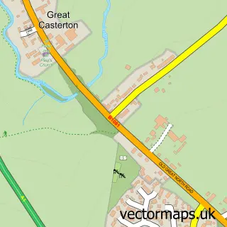
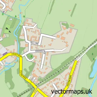
This Great Casterton street map is a detailed vector street map covering a 750m x 750m area. Select a larger area to create and download your own vector street map of Great Casterton.
The 750-metre map sample for Great Casterton covers 171 mapped buildings and approximately 36.0 km of road detail, of which 10 named roads are named. The immediate area includes 1 primary school and 1 secondary school, 1 pub and 2 MOT stations within 2 miles. The wider area around Great Casterton features 1 food and drink venue. To create a larger or custom map of Great Casterton, the map builder lets you define your own coverage area and download editable SVG, PDF and PNG files.
Create a larger editable map of Great Casterton
Choose any area you need and generate a high-quality vector map instantly. Perfect for print, planning, design, business and personal use.

This Great Casterton street map in Rutland is available as downloadable SVG, PDF and PNG map files, or as a printed map for planning, business, display, education, local information and design work. You can also create a larger custom map area using the map selector.
What this Great Casterton map sample shows
Great Casterton lies within Great Casterton Cp parish, part of Ryhall & Casterton ward in the Rutland local authority area. The postcode geography for this area includes the PE postcode area, the PE9 postcode district and the PE9 4 postcode sector. Residents fall under the Nhs Leicester, Leicestershire And Rutland Integrated Care Board for NHS services.
Local features near Great Casterton
Within 2 milesAmenities and services in and around Great Casterton.
Administrative and postcode information for Great Casterton
The local authority covering Great Casterton is Rutland, within the county of Rutland. The settlement lies within Ryhall & Casterton ward and Great Casterton Cp civil parish. The PE9 postcode district and PE9 4 postcode sector serve the immediate area. NHS provision in the area is delivered through North West Anglia Nhs Foundation Trust.
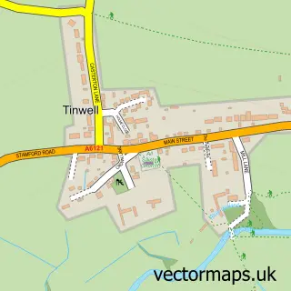
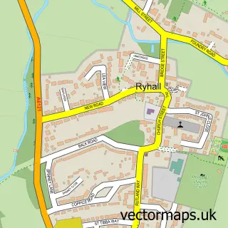
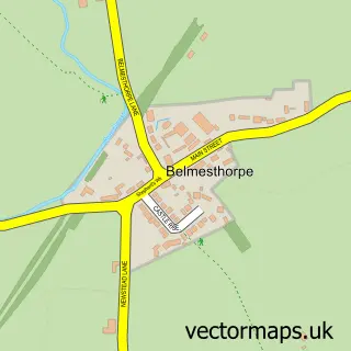
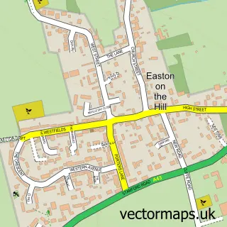
Nearby street map samples around Great Casterton

More street maps in Rutland
750 metre map area coverage
Boundary, postcode and point of interest information for the 750m x 750m rectangle centred on this sample map.
Boundaries containing map centre
Constituency: Rutland and Stamford Co Const
District: Rutland
Icb: NHS Leicester Leicestershire and Rutland ICB
Parish: Great Casterton CP
Police Force: leicestershire
Postcode District: PE9
Postcode Sector: PE9 4
Ward: Ryhall & Casterton Ward
Nearby boundaries intersecting sample
Parish: Little Casterton CP, Tinwell CP
Police Force: lincolnshire
Ward: Ketton Ward
Postcode coverage
POI category counts
Automotive Repair: 2
Building Supply Store: 2
Church Cathedral: 2
Motorcycle Dealer: 2
School: 2
Anglican Church: 1
Auto Restoration Services: 1
Car Dealer: 1
Dance School: 1
Health And Medical: 1
Sample points of interest
- St Peter & St Paul Great Casterton
- Roadhouse Retro
- RoadHouse
- Roadhouse Retro Co
- Glover's Air Conditioning
- Michael Roffe Associates
- Stamford cars sales
- Great Casterton Church
- St Peter and St Paul's Church
- Rutland Liners- Line Dance Classes
- Cirone Health
- Radfield Home Care
Create a larger editable map of Great Casterton
This sample shows only a 750 metre area. To create a larger map of Great Casterton, use our map builder to choose your own coverage area, add titles and download editable SVG, PDF and PNG files.
Create a custom map of Great Casterton