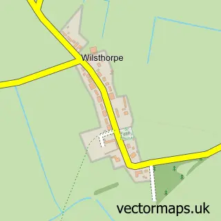
This Carlby street map is a detailed vector street map covering a 750m x 750m area. Select a larger area to create and download your own vector street map of Carlby.
The 750-metre map sample for Carlby covers 187 mapped buildings and approximately 8.4 km of road detail, of which 9 named roads are named. The immediate area includes 1 MOT station within 2 miles. The wider area around Carlby features 2 hotels. To create a larger or custom map of Carlby, the map builder lets you define your own coverage area and download editable SVG, PDF and PNG files.
Create a larger editable map of Carlby
Choose any area you need and generate a high-quality vector map instantly. Perfect for print, planning, design, business and personal use.

This Carlby street map in Lincolnshire is available as downloadable SVG, PDF and PNG map files, or as a printed map for planning, business, display, education, local information and design work. You can also create a larger custom map area using the map selector.
What this Carlby map sample shows
Carlby lies within Carlby Cp parish, part of Glen ward in the South Kesteven District local authority area. The postcode geography for this area includes the PE postcode area, the PE9 postcode district and the PE9 4 postcode sector. Residents fall under the Nhs Lincolnshire Integrated Care Board for NHS services.
Local features near Carlby
Within 2 milesAmenities and services in and around Carlby.
Administrative and postcode information for Carlby
The local authority covering Carlby is South Kesteven District, within the county of Lincolnshire. The settlement lies within Glen ward and Carlby Cp civil parish. The PE9 postcode district and PE9 4 postcode sector serve the immediate area. NHS provision in the area is delivered through North West Anglia Nhs Foundation Trust.
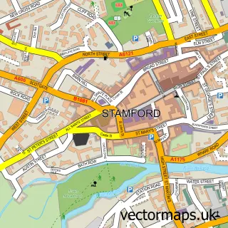
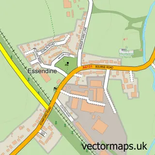
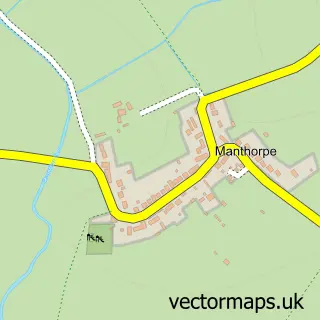
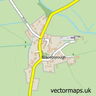
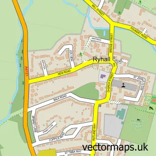
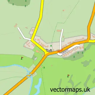
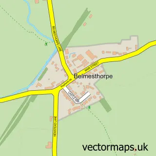
Nearby street map samples around Carlby

More street maps in Lincolnshire
750 metre map area coverage
Boundary, postcode and point of interest information for the 750m x 750m rectangle centred on this sample map.
Boundaries containing map centre
Constituency: Rutland and Stamford Co Const
County: Lincolnshire County
District: South Kesteven District
Icb: NHS Lincolnshire ICB
Parish: Carlby CP
Police Force: lincolnshire
Postcode District: PE9
Postcode Sector: PE9 4
Ward: Glen Ward
Nearby boundaries intersecting sample
No additional intersecting boundaries found.
Postcode coverage
POI category counts
Hotel: 2
Accommodation: 1
Agricultural Service: 1
Anglican Church: 1
Automotive Repair: 1
Church Cathedral: 1
Community Center: 1
Dentist: 1
Education: 1
Equestrian Facility: 1
Sample points of interest
- Carlby Nr Stamford
- Eastern Farm Implements
- St Stephen
- Crownfield Motors
- St Stephens Church
- Carlby Village Hall
- J F Hawkins Dental Surgery
- Wildcats Theatre School
- Poplars Farm Liveries
- The Garden House
- The Little Barn
- Stamford Academy Ltd.
Create a larger editable map of Carlby
This sample shows only a 750 metre area. To create a larger map of Carlby, use our map builder to choose your own coverage area, add titles and download editable SVG, PDF and PNG files.
Create a custom map of Carlby