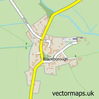
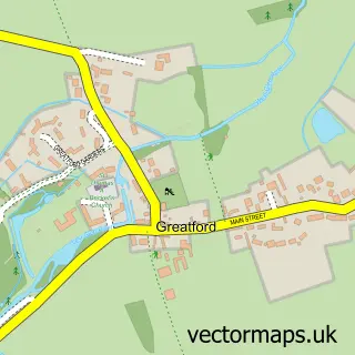
This Essendine street map is a detailed vector street map covering a 750m x 750m area. Select a larger area to create and download your own vector street map of Essendine.
The 750-metre map sample for Essendine covers 160 mapped buildings and approximately 11.3 km of road detail, of which 9 named roads are named. The immediate area includes 1 MOT station. The wider area around Essendine features 1 tourism point of interest. To create a larger or custom map of Essendine, the map builder lets you define your own coverage area and download editable SVG, PDF and PNG files.
Create a larger editable map of Essendine
Choose any area you need and generate a high-quality vector map instantly. Perfect for print, planning, design, business and personal use.

This Essendine street map in Rutland is available as downloadable SVG, PDF and PNG map files, or as a printed map for planning, business, display, education, local information and design work. You can also create a larger custom map area using the map selector.
What this Essendine map sample shows
Essendine lies within Essendine Cp parish, part of Ryhall & Casterton ward in the Rutland local authority area. The postcode geography for this area includes the PE postcode area, the PE9 postcode district and the PE9 4 postcode sector. Residents fall under the Nhs Leicester, Leicestershire And Rutland Integrated Care Board for NHS services.
Local features near Essendine
Within 2 milesAmenities and services in and around Essendine.
Administrative and postcode information for Essendine
The local authority covering Essendine is Rutland, within the county of Rutland. The settlement lies within Ryhall & Casterton ward and Essendine Cp civil parish. The PE9 postcode district and PE9 4 postcode sector serve the immediate area. NHS provision in the area is delivered through North West Anglia Nhs Foundation Trust.
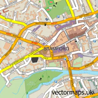
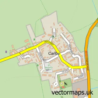
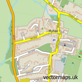
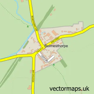
Nearby street map samples around Essendine

More street maps in Rutland
750 metre map area coverage
Boundary, postcode and point of interest information for the 750m x 750m rectangle centred on this sample map.
Boundaries containing map centre
Constituency: Rutland and Stamford Co Const
District: Rutland
Icb: NHS Leicester Leicestershire and Rutland ICB
Parish: Essendine CP
Police Force: leicestershire
Postcode District: PE9
Postcode Sector: PE9 4
Ward: Ryhall & Casterton Ward
Nearby boundaries intersecting sample
No additional intersecting boundaries found.
Postcode coverage
POI category counts
Post Office: 3
Storage Facility: 3
Bakery: 2
Furniture Store: 2
Gym: 2
Advertising Agency: 1
Anglican Church: 1
Appliance Manufacturer: 1
Arts And Crafts: 1
Automotive Services And Repair: 1
Sample points of interest
- RoboQuill
- Essendine: St Mary Magdalene
- Prolite Lamps
- Paul Mills & Sons Picture Framing
- Motor-tech Automotive
- The Cake Room Rutland
- The Events & Tents Company
- Fabulous Fingers by Rebecca
- Burghley Window Cleaning Services
- Enterprises Unlimited Special Effects
- DoubleD Stamford
- NJS Resin Restoration
Create a larger editable map of Essendine
This sample shows only a 750 metre area. To create a larger map of Essendine, use our map builder to choose your own coverage area, add titles and download editable SVG, PDF and PNG files.
Create a custom map of Essendine