This Barrington street map is a detailed vector street map covering a 750m x 750m area. Select a larger area to create and download your own vector street map of Barrington.
The 750-metre map sample for Barrington covers 184 mapped buildings and approximately 7.5 km of road detail, of which 13 named roads are named. The immediate area includes 1 GP surgery within 2 miles and 1 MOT station within 2 miles. The wider area around Barrington features 1 campsite within 2 miles. To create a larger or custom map of Barrington, the map builder lets you define your own coverage area and download editable SVG, PDF and PNG files.
Create a larger editable map of Barrington
Choose any area you need and generate a high-quality vector map instantly. Perfect for print, planning, design, business and personal use.

This Barrington street map in Cambridgeshire is available as downloadable SVG, PDF and PNG map files, or as a printed map for planning, business, display, education, local information and design work. You can also create a larger custom map area using the map selector.
What this Barrington map sample shows
Barrington lies within Barrington Cp parish, part of Barrington ward in the South Cambridgeshire District local authority area. The postcode geography for this area includes the CB postcode area, the CB22 postcode district and the CB22 7 postcode sector. Residents fall under the Nhs Cambridgeshire And Peterborough Integrated Care Board for NHS services.
Local features near Barrington
Within 2 milesAmenities and services in and around Barrington.
Administrative and postcode information for Barrington
The local authority covering Barrington is South Cambridgeshire District, within the county of Cambridgeshire. The settlement lies within Barrington ward and Barrington Cp civil parish. The CB22 postcode district and CB22 7 postcode sector serve the immediate area. NHS provision in the area is delivered through Cambridge University Hospitals Nhs Foundation Trust.
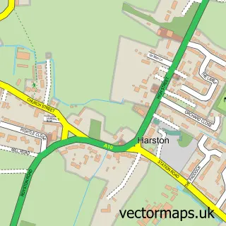
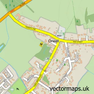
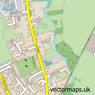
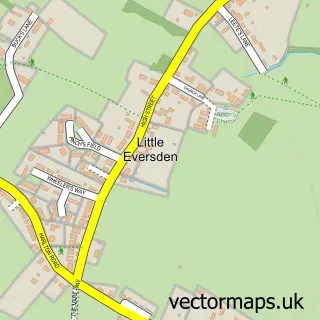
Nearby street map samples around Barrington


More street maps in Cambridgeshire
750 metre map area coverage
Boundary, postcode and point of interest information for the 750m x 750m rectangle centred on this sample map.
Boundaries containing map centre
Constituency: South Cambridgeshire Co Const
County: Cambridgeshire County
District: South Cambridgeshire District
Icb: NHS Central East ICB
Parish: Barrington CP
Police Force: cambridgeshire
Postcode District: CB22
Postcode Sector: CB22 7
Ward: Barrington Ward
Nearby boundaries intersecting sample
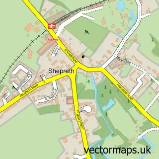
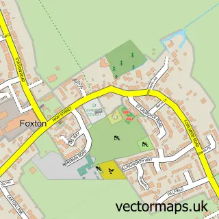
Parish: Foxton CP, Shepreth CP
Postcode District: SG8
Postcode Sector: CB22 6, SG8 6
Ward: Foxton Ward, Melbourn Ward
Postcode coverage
POI category counts
Martial Arts Club: 2
Post Office: 2
Acupuncture: 1
Advertising Agency: 1
Anglican Church: 1
Beauty Salon: 1
Building Supply Store: 1
Elementary School: 1
Event Planning: 1
Pet Groomer: 1
Sample points of interest
- Traditional Earth Clinic
- Redhed Inc
- All Saints - Barrington
- A Secret Salon
- J C Maintenance
- Barrington Church of England Primary School
- Barrington Hall
- Adrenaline Martial Arts - Barrington
- Sensei Smith Karate
- Over The Green Grooming
- Barrington Playground
- Cambridge Bathrooms and Heating
Create a larger editable map of Barrington
This sample shows only a 750 metre area. To create a larger map of Barrington, use our map builder to choose your own coverage area, add titles and download editable SVG, PDF and PNG files.
Create a custom map of Barrington