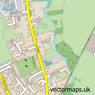
This Royston street map is a detailed vector street map covering a 750m x 750m area. Select a larger area to create and download your own vector street map of Royston.
The 750-metre map sample for Royston covers 478 mapped buildings and approximately 21.1 km of road detail, of which 56 named roads are named. The immediate area includes 1 school, 1 GP surgery within 2 miles, 12 pubs and 6 MOT stations within 2 miles. The wider area around Royston features 5 tourism points of interest, 23 food and drink venues and 4 hotels. To create a larger or custom map of Royston, the map builder lets you define your own coverage area and download editable SVG, PDF and PNG files.
Create a larger editable map of Royston
Choose any area you need and generate a high-quality vector map instantly. Perfect for print, planning, design, business and personal use.

This Royston street map in Hertfordshire is available as downloadable SVG, PDF and PNG map files, or as a printed map for planning, business, display, education, local information and design work. You can also create a larger custom map area using the map selector.
What this Royston map sample shows
Royston lies within Royston Cp parish, part of Royston Meridian ward in the North Hertfordshire District local authority area. The postcode geography for this area includes the SG postcode area, the SG8 postcode district and the SG8 7 postcode sector. Residents fall under the Nhs Cambridgeshire And Peterborough Integrated Care Board for NHS services.
Local features near Royston
Within 2 milesAmenities and services in and around Royston.
Administrative and postcode information for Royston
Royston lies within Royston Cp parish, part of Royston Meridian ward in the North Hertfordshire District local authority area. The postcode geography for this area includes the SG postcode area, the SG8 postcode district and the SG8 7 postcode sector. Residents fall under the Nhs Cambridgeshire And Peterborough Integrated Care Board for NHS services.
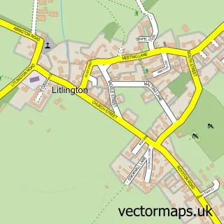
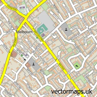
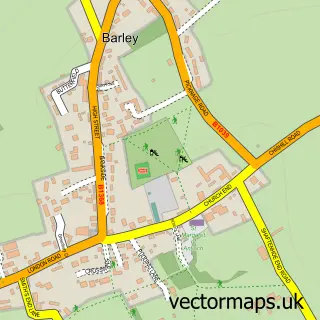
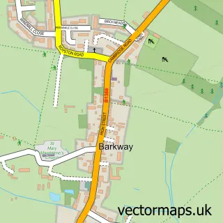
Nearby street map samples around Royston

More street maps in Hertfordshire
750 metre map area coverage
Boundary, postcode and point of interest information for the 750m x 750m rectangle centred on this sample map.
Boundaries containing map centre
Constituency: North East Hertfordshire Co Const
County: Hertfordshire County
District: North Hertfordshire District
Icb: NHS Central East ICB
Parish: Royston CP
Police Force: hertfordshire
Postcode District: SG8
Postcode Sector: SG8 9
Ward: Royston Heath Ward
Nearby boundaries intersecting sample
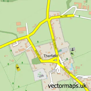
Parish: Therfield CP
Postcode Sector: SG8 5, SG8 7
Ward: Ermine Ward, Royston Meridian Ward, Royston Palace Ward
Postcode coverage
POI category counts
Beauty Salon: 14
Pub: 12
Real Estate Agent: 12
Professional Services: 11
Hair Salon: 9
Accountant: 7
Barber: 7
Dentist: 7
Flowers And Gifts Shop: 7
Banks: 6
Sample points of interest
- Clicktax Ltd
- Fourways Chartered Accountants
- Hardcastle Burton LLP
- Pure Balance Accounting Ltd
- TaxAssist Accountants
- Taylor & Co
- The Accountancy Practice
- KME Marketing Services
- The Listing
- Both Feet First
- Ian Collange Associates
- Royston Ambulance Station
Create a larger editable map of Royston
This sample shows only a 750 metre area. To create a larger map of Royston, use our map builder to choose your own coverage area, add titles and download editable SVG, PDF and PNG files.
Create a custom map of Royston