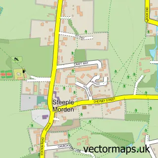
This Bassingbourn street map is a detailed vector street map covering a 750m x 750m area. Select a larger area to create and download your own vector street map of Bassingbourn.
The 750-metre map sample for Bassingbourn covers 310 mapped buildings and approximately 10.4 km of road detail, of which 20 named roads are named. The immediate area includes 1 pub and 1 MOT station, with 5 within 2 miles. The wider area around Bassingbourn features 2 tourism points of interest and 2 food and drink venues. To create a larger or custom map of Bassingbourn, the map builder lets you define your own coverage area and download editable SVG, PDF and PNG files.
Create a larger editable map of Bassingbourn
Choose any area you need and generate a high-quality vector map instantly. Perfect for print, planning, design, business and personal use.

This Bassingbourn street map in Cambridgeshire is available as downloadable SVG, PDF and PNG map files, or as a printed map for planning, business, display, education, local information and design work. You can also create a larger custom map area using the map selector.
What this Bassingbourn map sample shows
Bassingbourn lies within Bassingbourn Cum Kneesworth Cp parish, part of Bassingbourn ward in the South Cambridgeshire District local authority area. The postcode geography for this area includes the SG postcode area, the SG8 postcode district and the SG8 5 postcode sector. Residents fall under the Nhs Cambridgeshire And Peterborough Integrated Care Board for NHS services.
Local features near Bassingbourn
Within 2 milesAmenities and services in and around Bassingbourn.
Administrative and postcode information for Bassingbourn
Bassingbourn lies within Bassingbourn Cum Kneesworth Cp parish, part of Bassingbourn ward in the South Cambridgeshire District local authority area. The postcode geography for this area includes the SG postcode area, the SG8 postcode district and the SG8 5 postcode sector. Residents fall under the Nhs Cambridgeshire And Peterborough Integrated Care Board for NHS services.
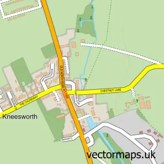
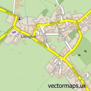
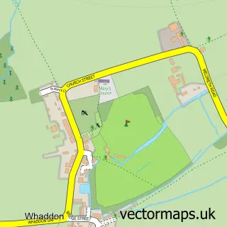
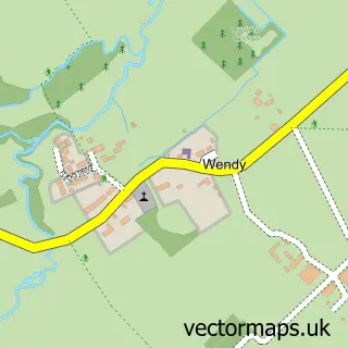
Nearby street map samples around Bassingbourn


More street maps in Cambridgeshire
750 metre map area coverage
Boundary, postcode and point of interest information for the 750m x 750m rectangle centred on this sample map.
Boundaries containing map centre
Constituency: South Cambridgeshire Co Const
County: Cambridgeshire County
District: South Cambridgeshire District
Icb: NHS Central East ICB
Parish: Bassingbourn cum Kneesworth CP
Police Force: cambridgeshire
Postcode District: SG8
Postcode Sector: SG8 5
Ward: Bassingbourn Ward
Nearby boundaries intersecting sample
No additional intersecting boundaries found.
Postcode coverage
POI category counts
Beauty Salon: 4
Hair Salon: 3
Accountant: 2
Barber: 2
Convenience Store: 2
Doctor: 2
Landscaping: 2
Shipping Center: 2
Anglican Church: 1
Appliance Manufacturer: 1
Sample points of interest
- Morgan Keen Ltd
- NB Accountancy Ltd
- St Peter & St Paul
- Kio pod Ltd.
- Artique Galleries
- BR Spar Bassingbourn , Bassingbourn
- Shelby AUTOS
- Bassingbourn Garage
- The Saddle Bar
- Burr's Barbers
- The Mens Grooming Room
- Black Swan Beauty
Create a larger editable map of Bassingbourn
This sample shows only a 750 metre area. To create a larger map of Bassingbourn, use our map builder to choose your own coverage area, add titles and download editable SVG, PDF and PNG files.
Create a custom map of Bassingbourn