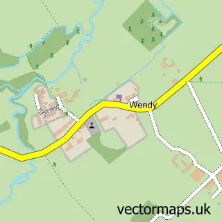
This Litlington street map is a detailed vector street map covering a 750m x 750m area. Select a larger area to create and download your own vector street map of Litlington.
The 750-metre map sample for Litlington covers 242 mapped buildings and approximately 9.0 km of road detail, of which 18 named roads are named. The immediate area includes 2 pubs and 2 MOT stations within 2 miles. The wider area around Litlington features 2 food and drink venues. To create a larger or custom map of Litlington, the map builder lets you define your own coverage area and download editable SVG, PDF and PNG files.
Create a larger editable map of Litlington
Choose any area you need and generate a high-quality vector map instantly. Perfect for print, planning, design, business and personal use.

This Litlington street map in Cambridgeshire is available as downloadable SVG, PDF and PNG map files, or as a printed map for planning, business, display, education, local information and design work. You can also create a larger custom map area using the map selector.
What this Litlington map sample shows
Litlington lies within Litlington Cp parish, part of Bassingbourn ward in the South Cambridgeshire District local authority area. The postcode geography for this area includes the SG postcode area, the SG8 postcode district and the SG8 0 postcode sector. Residents fall under the Nhs Cambridgeshire And Peterborough Integrated Care Board for NHS services.
Local features near Litlington
Within 2 milesAmenities and services in and around Litlington.
Administrative and postcode information for Litlington
The local authority covering Litlington is South Cambridgeshire District, within the county of Cambridgeshire. The settlement lies within Bassingbourn ward and Litlington Cp civil parish. The SG8 postcode district and SG8 0 postcode sector serve the immediate area. NHS provision in the area is delivered through Cambridge University Hospitals Nhs Foundation Trust.
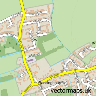
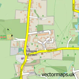
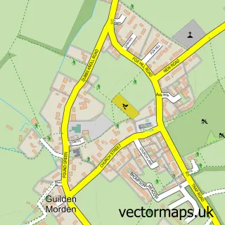
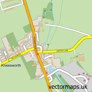
Nearby street map samples around Litlington


More street maps in Cambridgeshire
750 metre map area coverage
Boundary, postcode and point of interest information for the 750m x 750m rectangle centred on this sample map.
Boundaries containing map centre
Constituency: South Cambridgeshire Co Const
County: Cambridgeshire County
District: South Cambridgeshire District
Icb: NHS Central East ICB
Parish: Litlington CP
Police Force: cambridgeshire
Postcode District: SG8
Postcode Sector: SG8 0
Ward: Bassingbourn Ward
Nearby boundaries intersecting sample
No additional intersecting boundaries found.
Postcode coverage
POI category counts
Marketing Agency: 2
Pub: 2
Anglican Church: 1
Appliance Manufacturer: 1
Beauty Salon: 1
Bridal Shop: 1
Business To Business Services: 1
Butcher Shop: 1
Church Cathedral: 1
Convenience Store: 1
Sample points of interest
- St Catherine's
- Skycraft Services
- The Beauty Room
- Andy Nash Guitar
- Skycraft Services Limited
- The Barnyard Apiaries
- Lillington St Cathrines Church
- Londis LONDIS - LITLINGTON
- Hot Steps Dance Academy
- Puma Engineering Limited
- L Turner
- Post Office-Litlington
Create a larger editable map of Litlington
This sample shows only a 750 metre area. To create a larger map of Litlington, use our map builder to choose your own coverage area, add titles and download editable SVG, PDF and PNG files.
Create a custom map of Litlington