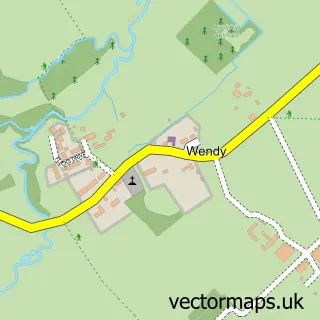
This Guilden Morden street map is a detailed vector street map covering a 750m x 750m area. Select a larger area to create and download your own vector street map of Guilden Morden.
The 750-metre map sample for Guilden Morden covers 231 mapped buildings and approximately 9.8 km of road detail, of which 18 named roads are named. The immediate area includes 1 school, 2 pubs and 1 MOT station within 2 miles. The wider area around Guilden Morden features 3 food and drink venues. To create a larger or custom map of Guilden Morden, the map builder lets you define your own coverage area and download editable SVG, PDF and PNG files.
Create a larger editable map of Guilden Morden
Choose any area you need and generate a high-quality vector map instantly. Perfect for print, planning, design, business and personal use.

This Guilden Morden street map in Cambridgeshire is available as downloadable SVG, PDF and PNG map files, or as a printed map for planning, business, display, education, local information and design work. You can also create a larger custom map area using the map selector.
What this Guilden Morden map sample shows
Guilden Morden lies within Guilden Morden Cp parish, part of The Mordens ward in the South Cambridgeshire District local authority area. The postcode geography for this area includes the SG postcode area, the SG8 postcode district and the SG8 0 postcode sector. Residents fall under the Nhs Cambridgeshire And Peterborough Integrated Care Board for NHS services.
Local features near Guilden Morden
Within 2 milesAmenities and services in and around Guilden Morden.
Administrative and postcode information for Guilden Morden
The local authority covering Guilden Morden is South Cambridgeshire District, within the county of Cambridgeshire. The settlement lies within The Mordens ward and Guilden Morden Cp civil parish. The SG8 postcode district and SG8 0 postcode sector serve the immediate area. NHS provision in the area is delivered through Cambridge University Hospitals Nhs Foundation Trust.
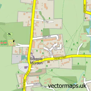
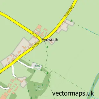
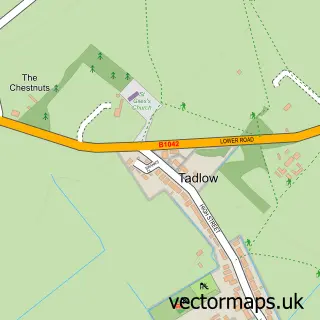
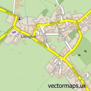
Nearby street map samples around Guilden Morden


More street maps in Cambridgeshire
750 metre map area coverage
Boundary, postcode and point of interest information for the 750m x 750m rectangle centred on this sample map.
Boundaries containing map centre
Constituency: South Cambridgeshire Co Const
County: Cambridgeshire County
District: South Cambridgeshire District
Icb: NHS Central East ICB
Parish: Guilden Morden CP
Police Force: cambridgeshire
Postcode District: SG8
Postcode Sector: SG8 0
Ward: The Mordens Ward
Nearby boundaries intersecting sample
No additional intersecting boundaries found.
Postcode coverage
POI category counts
Pest Control Service: 2
Pub: 2
Anglican Church: 1
Beauty And Spa: 1
Community Center: 1
Contractor: 1
Environmental Conservation Organization: 1
Naturopathic Holistic: 1
Restaurant: 1
School: 1
Sample points of interest
- St Mary the Virgin
- Nails by Sheryl - Nail Artist
- Guilden Morden Village Hall
- Premier Stone Pavers
- The Association of Noise Consultants
- Jackies Holistic Therapy
- SPV C
- Scorpion Pest & Vermin Control Ltd
- Edward VII Free House
- The Pack Horse Inn
- Guilden Morden Village Market
- Guilden Morden Church of England Primary Academy
Create a larger editable map of Guilden Morden
This sample shows only a 750 metre area. To create a larger map of Guilden Morden, use our map builder to choose your own coverage area, add titles and download editable SVG, PDF and PNG files.
Create a custom map of Guilden Morden