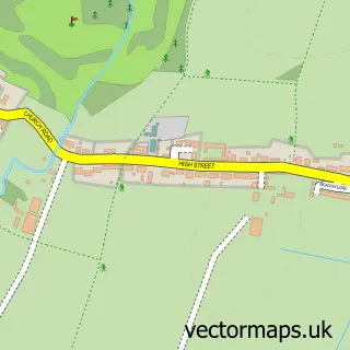
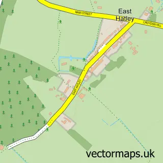
This Wrestlingworth street map is a detailed vector street map covering a 750m x 750m area. Select a larger area to create and download your own vector street map of Wrestlingworth.
The 750-metre map sample for Wrestlingworth covers 187 mapped buildings and approximately 5.8 km of road detail, of which 11 named roads are named. The immediate area includes 1 school, 2 pubs and 1 MOT station within 2 miles. The wider area around Wrestlingworth features 2 food and drink venues. To create a larger or custom map of Wrestlingworth, the map builder lets you define your own coverage area and download editable SVG, PDF and PNG files.
Create a larger editable map of Wrestlingworth
Choose any area you need and generate a high-quality vector map instantly. Perfect for print, planning, design, business and personal use.

This Wrestlingworth street map in Bedfordshire is available as downloadable SVG, PDF and PNG map files, or as a printed map for planning, business, display, education, local information and design work. You can also create a larger custom map area using the map selector.
What this Wrestlingworth map sample shows
Wrestlingworth lies within Wrestlingworth And Cockayne Hatley Cp parish, part of Potton ward in the Central Bedfordshire local authority area. The postcode geography for this area includes the SG postcode area, the SG19 postcode district and the SG19 2 postcode sector. Residents fall under the Nhs Bedfordshire, Luton And Milton Keynes Integrated Care Board for NHS services.
Local features near Wrestlingworth
Within 2 milesAmenities and services in and around Wrestlingworth.
Administrative and postcode information for Wrestlingworth
Wrestlingworth lies within Wrestlingworth And Cockayne Hatley Cp parish, part of Potton ward in the Central Bedfordshire local authority area. The postcode geography for this area includes the SG postcode area, the SG19 postcode district and the SG19 2 postcode sector. Residents fall under the Nhs Bedfordshire, Luton And Milton Keynes Integrated Care Board for NHS services.
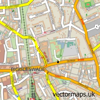
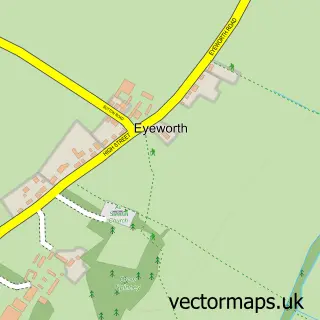
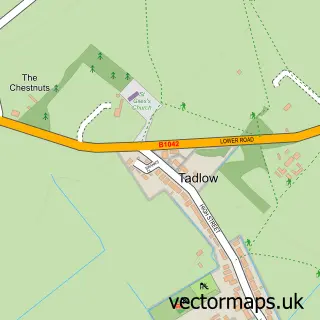
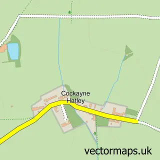
Nearby street map samples around Wrestlingworth

More street maps in Bedfordshire
750 metre map area coverage
Boundary, postcode and point of interest information for the 750m x 750m rectangle centred on this sample map.
Boundaries containing map centre
Constituency: North Bedfordshire Co Const
District: Central Bedfordshire
Icb: NHS Central East ICB
Parish: Wrestlingworth and Cockayne Hatley CP
Police Force: bedfordshire
Postcode District: SG19
Postcode Sector: SG19 2
Ward: Potton Ward
Nearby boundaries intersecting sample
No additional intersecting boundaries found.
Postcode coverage
POI category counts
Contractor: 3
Office Cleaning: 2
Pub: 2
Alternative Medicine: 1
Anglican Church: 1
Beauty Salon: 1
Building Supply Store: 1
Business Management Services: 1
Church Cathedral: 1
Elementary School: 1
Sample points of interest
- Wrestlingworth Holistic Therapies
- St Peter's, Wrestlingworth
- Topaz Beauty & Wellness
- Airblu
- Sherpa Consulting
- Church of St Peter, Wrestlingworth
- Abacus Oil Experts
- S & B Murphy
- S&B Murphy
- Wrestlingworth VC Lower School
- Harris Associates Wealth Management
- Avanti Hair Studio
Create a larger editable map of Wrestlingworth
This sample shows only a 750 metre area. To create a larger map of Wrestlingworth, use our map builder to choose your own coverage area, add titles and download editable SVG, PDF and PNG files.
Create a custom map of Wrestlingworth