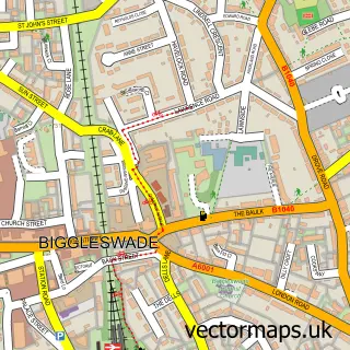
This Dunton street map is a detailed vector street map covering a 750m x 750m area. Select a larger area to create and download your own vector street map of Dunton.
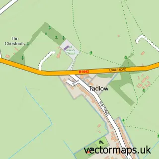
The 750-metre map sample for Dunton covers 221 mapped buildings and approximately 7.6 km of road detail, of which 15 named roads are named. The immediate area includes 1 school, 2 pubs and 1 MOT station within 2 miles. The wider area around Dunton features 2 food and drink venues. To create a larger or custom map of Dunton, the map builder lets you define your own coverage area and download editable SVG, PDF and PNG files.
Create a larger editable map of Dunton
Choose any area you need and generate a high-quality vector map instantly. Perfect for print, planning, design, business and personal use.

This Dunton street map in Bedfordshire is available as downloadable SVG, PDF and PNG map files, or as a printed map for planning, business, display, education, local information and design work. You can also create a larger custom map area using the map selector.
What this Dunton map sample shows
Dunton lies within Dunton Cp parish, part of Potton ward in the Central Bedfordshire local authority area. The postcode geography for this area includes the SG postcode area, the SG18 postcode district and the SG18 8 postcode sector. Residents fall under the Nhs Bedfordshire, Luton And Milton Keynes Integrated Care Board for NHS services.
Local features near Dunton
Within 2 milesAmenities and services in and around Dunton.
Administrative and postcode information for Dunton
Dunton lies within Dunton Cp parish, part of Potton ward in the Central Bedfordshire local authority area. The postcode geography for this area includes the SG postcode area, the SG18 postcode district and the SG18 8 postcode sector. Residents fall under the Nhs Bedfordshire, Luton And Milton Keynes Integrated Care Board for NHS services.
Nearby street map samples around Dunton

More street maps in Bedfordshire
750 metre map area coverage
Boundary, postcode and point of interest information for the 750m x 750m rectangle centred on this sample map.
Boundaries containing map centre
Constituency: North Bedfordshire Co Const
District: Central Bedfordshire
Icb: NHS Central East ICB
Parish: Dunton CP
Police Force: bedfordshire
Postcode District: SG18
Postcode Sector: SG18 8
Ward: Potton Ward
Nearby boundaries intersecting sample
No additional intersecting boundaries found.
Postcode coverage
POI category counts
Anglican Church: 2
Counseling And Mental Health: 2
Elementary School: 2
Pub: 2
Agriculture: 1
Beauty Product Supplier: 1
Building Contractor: 1
Building Supply Store: 1
Business Management Services: 1
Church Cathedral: 1
Sample points of interest
- Kramp United Kingdom
- St Mary Magdalene
- The United Benefice of Dunton, Wrestlingworth and Eyeworth
- Sonia Sharman Beauty Talk
- Ig Installations
- Hill Geoff
- A W Dansey Associates
- St Mary Magdalene Church
- Dunton Village Memorial Hall
- Dunton Community Garden Group
- Dunton Centre For Counselling & Psychotherapy
- Rosie Saunders - Energy Alchemy
Create a larger editable map of Dunton
This sample shows only a 750 metre area. To create a larger map of Dunton, use our map builder to choose your own coverage area, add titles and download editable SVG, PDF and PNG files.
Create a custom map of Dunton