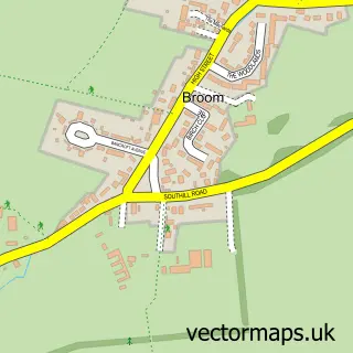
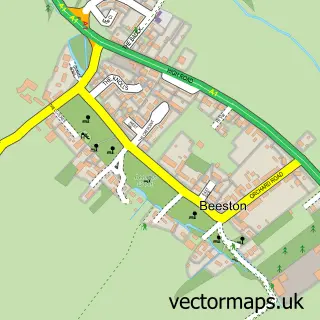
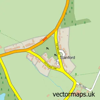
This Biggleswade street map is a detailed vector street map covering a 750m x 750m area. Select a larger area to create and download your own vector street map of Biggleswade.
The 750-metre map sample for Biggleswade covers 523 mapped buildings and approximately 20.7 km of road detail, of which 46 named roads are named. The immediate area includes 1 school, 1 railway station, 1 GP surgery, with 2 within 2 miles and 9 pubs among other local services. The wider area around Biggleswade features 2 tourism points of interest, 17 food and drink venues and 2 hotels. To create a larger or custom map of Biggleswade, the map builder lets you define your own coverage area and download editable SVG, PDF and PNG files.
Create a larger editable map of Biggleswade
Choose any area you need and generate a high-quality vector map instantly. Perfect for print, planning, design, business and personal use.

This Biggleswade street map in Bedfordshire is available as downloadable SVG, PDF and PNG map files, or as a printed map for planning, business, display, education, local information and design work. You can also create a larger custom map area using the map selector.
What this Biggleswade map sample shows
Biggleswade lies within Biggleswade Cp parish, part of Biggleswade North ward in the Central Bedfordshire local authority area. The postcode geography for this area includes the SG postcode area, the SG18 postcode district and the SG18 0 postcode sector. Residents fall under the Nhs Bedfordshire, Luton And Milton Keynes Integrated Care Board for NHS services.
Local features near Biggleswade
Within 2 milesAmenities and services in and around Biggleswade.
Administrative and postcode information for Biggleswade
The local authority covering Biggleswade is Central Bedfordshire, within the county of Bedfordshire. The settlement lies within Biggleswade North ward and Biggleswade Cp civil parish. The SG18 postcode district and SG18 0 postcode sector serve the immediate area. NHS provision in the area is delivered through Bedfordshire Hospitals Nhs Foundation Trust.
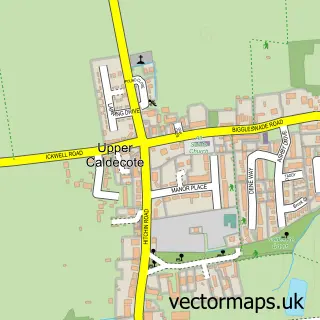
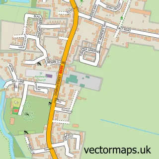
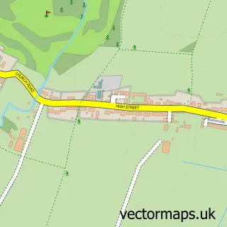
Nearby street map samples around Biggleswade

More street maps in Bedfordshire
750 metre map area coverage
Boundary, postcode and point of interest information for the 750m x 750m rectangle centred on this sample map.
Boundaries containing map centre
Constituency: North Bedfordshire Co Const
District: Central Bedfordshire
Icb: NHS Central East ICB
Parish: Biggleswade CP
Police Force: bedfordshire
Postcode District: SG18
Postcode Sector: SG18 0
Ward: Biggleswade West Ward
Nearby boundaries intersecting sample
Postcode Sector: SG18 8
Ward: Biggleswade East Ward
Postcode coverage
POI category counts
Pub: 9
Beauty Salon: 8
Beauty And Spa: 7
Hair Salon: 7
Bar: 6
Barber: 6
Professional Services: 6
Employment Agencies: 5
Clothing Store: 4
Contractor: 4
Sample points of interest
- Claremont Court
- George Hay
- Milnes Design
- Biggleswade Ambulance Station
- East of England Ambulance Station
- H F Trust
- Biggleswade Community Garden (Chestnut Avenue)
- Van Project77
- MKMG LTD
- A B S Tyres
- A1 Mobile Tech LTD
- Brisco's Gourmet Cake Company
Create a larger editable map of Biggleswade
This sample shows only a 750 metre area. To create a larger map of Biggleswade, use our map builder to choose your own coverage area, add titles and download editable SVG, PDF and PNG files.
Create a custom map of Biggleswade