This East Hatley street map is a detailed vector street map covering a 750m x 750m area. Select a larger area to create and download your own vector street map of East Hatley.
The 750-metre map sample for East Hatley covers 68 mapped buildings and approximately 10.4 km of road detail, of which 4 named roads are named. To create a larger or custom map of East Hatley, the map builder lets you define your own coverage area and download editable SVG, PDF and PNG files.
Create a larger editable map of East Hatley
Choose any area you need and generate a high-quality vector map instantly. Perfect for print, planning, design, business and personal use.

This East Hatley street map in Cambridgeshire is available as downloadable SVG, PDF and PNG map files, or as a printed map for planning, business, display, education, local information and design work. You can also create a larger custom map area using the map selector.
What this East Hatley map sample shows
East Hatley lies within Hatley Cp parish, part of The Mordens ward in the South Cambridgeshire District local authority area. The postcode geography for this area includes the SG postcode area, the SG19 postcode district and the SG19 3 postcode sector. Residents fall under the Nhs Cambridgeshire And Peterborough Integrated Care Board for NHS services.
Administrative and postcode information for East Hatley
The local authority covering East Hatley is South Cambridgeshire District, within the county of Cambridgeshire. The settlement lies within The Mordens ward and Hatley Cp civil parish. The SG19 postcode district and SG19 3 postcode sector serve the immediate area. NHS provision in the area is delivered through Cambridge University Hospitals Nhs Foundation Trust.
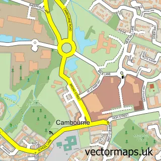
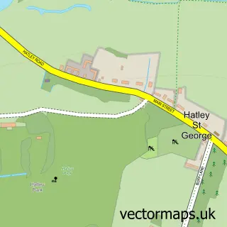
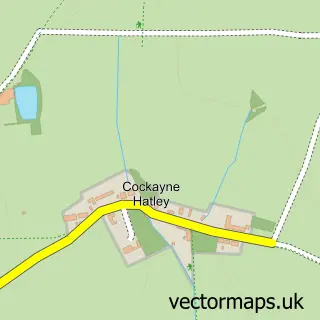
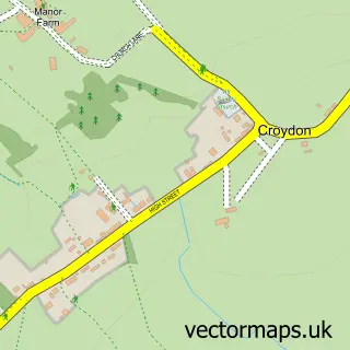
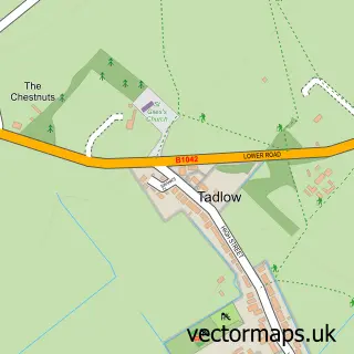
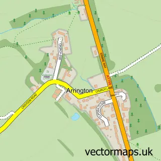
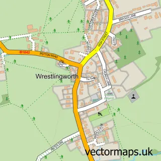
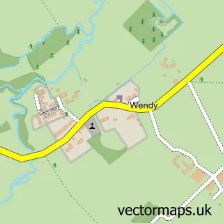
Nearby street map samples around East Hatley

More street maps in Cambridgeshire
750 metre map area coverage
Boundary, postcode and point of interest information for the 750m x 750m rectangle centred on this sample map.
Boundaries containing map centre
Constituency: South Cambridgeshire Co Const
County: Cambridgeshire County
District: South Cambridgeshire District
Icb: NHS Central East ICB
Parish: Hatley CP
Police Force: cambridgeshire
Postcode District: SG19
Postcode Sector: SG19 3
Ward: The Mordens Ward
Nearby boundaries intersecting sample
No additional intersecting boundaries found.
Postcode coverage
POI category counts
Advertising Agency: 3
Building Contractor: 1
Church Cathedral: 1
Community Services Non Profits: 1
Construction Services: 1
Holiday Rental Home: 1
Naturopathic Holistic: 1
Wildlife Sanctuary: 1
Sample points of interest
- Buzz Associates Limited
- Buzz Associates Ltd.
- Calibrus
- Ecopure Cleaning
- Church of St Denis
- Falklands Conservation
- GrippaTank Ltd
- The Manor Dairy
- Hatley Holistic Therapies
- Buff Wood
Create a larger editable map of East Hatley
This sample shows only a 750 metre area. To create a larger map of East Hatley, use our map builder to choose your own coverage area, add titles and download editable SVG, PDF and PNG files.
Create a custom map of East Hatley