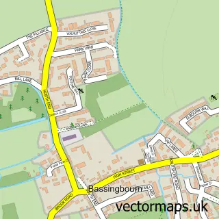
This Bassingbourn-cum-Kneesworth street map is a detailed vector street map covering a 750m x 750m area. Select a larger area to create and download your own vector street map of Bassingbourn-cum-Kneesworth.
The 750-metre map sample for Bassingbourn-cum-Kneesworth covers 137 mapped buildings and approximately 10.3 km of road detail, of which 9 named roads are named. The immediate area includes 1 GP surgery within 2 miles and 8 MOT stations within 2 miles. The wider area around Bassingbourn-cum-Kneesworth features 1 tourism point of interest. To create a larger or custom map of Bassingbourn-cum-Kneesworth, the map builder lets you define your own coverage area and download editable SVG, PDF and PNG files.
Create a larger editable map of Bassingbourn-cum-Kneesworth
Choose any area you need and generate a high-quality vector map instantly. Perfect for print, planning, design, business and personal use.

This Bassingbourn-cum-Kneesworth street map in Cambridgeshire is available as downloadable SVG, PDF and PNG map files, or as a printed map for planning, business, display, education, local information and design work. You can also create a larger custom map area using the map selector.
What this Bassingbourn-cum-Kneesworth map sample shows
Bassingbourn-cum-Kneesworth lies within Bassingbourn Cum Kneesworth Cp parish, part of Bassingbourn ward in the South Cambridgeshire District local authority area. The postcode geography for this area includes the SG postcode area, the SG8 postcode district and the SG8 5 postcode sector. Residents fall under the Nhs Cambridgeshire And Peterborough Integrated Care Board for NHS services.
Local features near Bassingbourn-cum-Kneesworth
Within 2 milesAmenities and services in and around Bassingbourn-cum-Kneesworth.
Administrative and postcode information for Bassingbourn-cum-Kneesworth
The local authority covering Bassingbourn-cum-Kneesworth is South Cambridgeshire District, within the county of Cambridgeshire. The settlement lies within Bassingbourn ward and Bassingbourn Cum Kneesworth Cp civil parish. The SG8 postcode district and SG8 5 postcode sector serve the immediate area. NHS provision in the area is delivered through Cambridge University Hospitals Nhs Foundation Trust.
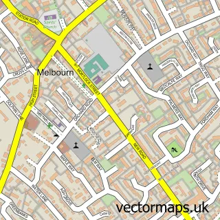
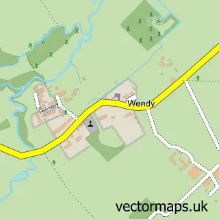
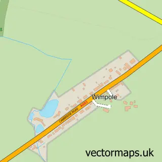
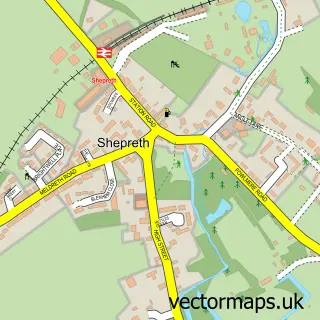
Nearby street map samples around Bassingbourn-cum-Kneesworth


More street maps in Cambridgeshire
750 metre map area coverage
Boundary, postcode and point of interest information for the 750m x 750m rectangle centred on this sample map.
Boundaries containing map centre
Constituency: South Cambridgeshire Co Const
County: Cambridgeshire County
District: South Cambridgeshire District
Icb: NHS Central East ICB
Parish: Bassingbourn cum Kneesworth CP
Police Force: cambridgeshire
Postcode District: SG8
Postcode Sector: SG8 5
Ward: Bassingbourn Ward
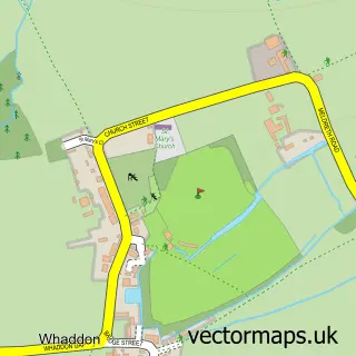
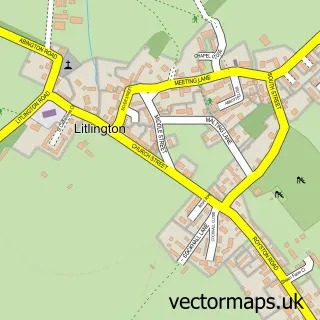
Nearby boundaries intersecting sample
Parish: Whaddon CP
Ward: Melbourn Ward
Postcode coverage
POI category counts
Gardener: 2
Bridal Shop: 1
Car Dealer: 1
Carpenter: 1
Childrens Clothing Store: 1
Farmers Market: 1
Flowers And Gifts Shop: 1
Graphic Designer: 1
Gym: 1
Home Decor: 1
Sample points of interest
- ReBridal
- Murketts Vauxhall Group Page
- O & G Joinery Services
- Karen Forte Bridal & Occasion Wear
- Hill View Farm
- Homemade
- B & P Design
- B & P Design Landscape Architects
- Cleverly Creative Ltd
- LifeZone CrossFit
- New Dawn Blinds & Curtains
- Yuva Fine Fusion Restaurant
Create a larger editable map of Bassingbourn-cum-Kneesworth
This sample shows only a 750 metre area. To create a larger map of Bassingbourn-cum-Kneesworth, use our map builder to choose your own coverage area, add titles and download editable SVG, PDF and PNG files.
Create a custom map of Bassingbourn-cum-Kneesworth