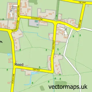
This Barkway street map is a detailed vector street map covering a 750m x 750m area. Select a larger area to create and download your own vector street map of Barkway.
The 750-metre map sample for Barkway covers 158 mapped buildings and approximately 6.8 km of road detail, of which 10 named roads are named. The immediate area includes 1 school and 1 MOT station within 2 miles. The wider area around Barkway features 1 tourism point of interest and 1 hotel. To create a larger or custom map of Barkway, the map builder lets you define your own coverage area and download editable SVG, PDF and PNG files.
Create a larger editable map of Barkway
Choose any area you need and generate a high-quality vector map instantly. Perfect for print, planning, design, business and personal use.

This Barkway street map in Hertfordshire is available as downloadable SVG, PDF and PNG map files, or as a printed map for planning, business, display, education, local information and design work. You can also create a larger custom map area using the map selector.
What this Barkway map sample shows
Barkway lies within Barkway Cp parish, part of Ermine ward in the North Hertfordshire District local authority area. The postcode geography for this area includes the SG postcode area, the SG8 postcode district and the SG8 8 postcode sector. Residents fall under the Nhs Cambridgeshire And Peterborough Integrated Care Board for NHS services.
Local features near Barkway
Within 2 milesAmenities and services in and around Barkway.
Administrative and postcode information for Barkway
The local authority covering Barkway is North Hertfordshire District, within the county of Hertfordshire. The settlement lies within Ermine ward and Barkway Cp civil parish. The SG8 postcode district and SG8 8 postcode sector serve the immediate area. NHS provision in the area is delivered through East And North Hertfordshire Nhs Trust.
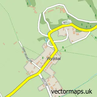
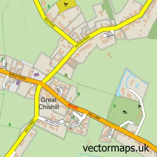
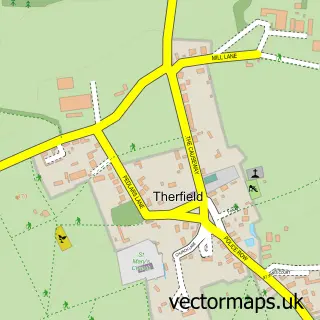
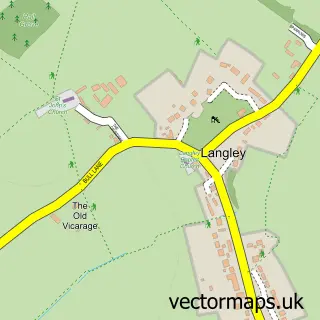
Nearby street map samples around Barkway


More street maps in Hertfordshire
750 metre map area coverage
Boundary, postcode and point of interest information for the 750m x 750m rectangle centred on this sample map.
Boundaries containing map centre
Constituency: North East Hertfordshire Co Const
County: Hertfordshire County
District: North Hertfordshire District
Icb: NHS Central East ICB
Parish: Barkway CP
Police Force: hertfordshire
Postcode District: SG8
Postcode Sector: SG8 8
Ward: Ermine Ward
Nearby boundaries intersecting sample
Parish: Nuthampstead CP
Postcode coverage
POI category counts
Active Life: 1
Advertising Agency: 1
Assisted Living Facility: 1
Automotive Repair: 1
Bathroom Remodeling: 1
Beach Equipment Rentals: 1
Bed And Breakfast: 1
Church Cathedral: 1
Community Center: 1
Day Care Preschool: 1
Sample points of interest
- Jamie Bates PGA Professional
- Strategie M
- Conquest Care Homes
- W & M Motors
- Ashton Renovations
- Next Communications
- The Old Forge
- St Mary Magdalene's Church
- Barkway Village Hall
- Barkway Baby and Toddler Group
- Barkway Voluntary Aided First School
- Byson Repairs & Alterations
Create a larger editable map of Barkway
This sample shows only a 750 metre area. To create a larger map of Barkway, use our map builder to choose your own coverage area, add titles and download editable SVG, PDF and PNG files.
Create a custom map of Barkway