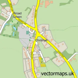
This Great Chishill street map is a detailed vector street map covering a 750m x 750m area. Select a larger area to create and download your own vector street map of Great Chishill.
The 750-metre map sample for Great Chishill covers 215 mapped buildings and approximately 12.2 km of road detail, of which 12 named roads are named. The immediate area includes 1 pub. The wider area around Great Chishill features 1 food and drink venue. To create a larger or custom map of Great Chishill, the map builder lets you define your own coverage area and download editable SVG, PDF and PNG files.
Create a larger editable map of Great Chishill
Choose any area you need and generate a high-quality vector map instantly. Perfect for print, planning, design, business and personal use.

This Great Chishill street map in Cambridgeshire is available as downloadable SVG, PDF and PNG map files, or as a printed map for planning, business, display, education, local information and design work. You can also create a larger custom map area using the map selector.
What this Great Chishill map sample shows
Great Chishill lies within Great And Little Chishill Cp parish, part of Foxton ward in the South Cambridgeshire District local authority area. The postcode geography for this area includes the SG postcode area, the SG8 postcode district and the SG8 8 postcode sector. Residents fall under the Nhs Cambridgeshire And Peterborough Integrated Care Board for NHS services.
Local features near Great Chishill
Within 2 milesAmenities and services in and around Great Chishill.
Administrative and postcode information for Great Chishill
Great Chishill lies within Great And Little Chishill Cp parish, part of Foxton ward in the South Cambridgeshire District local authority area. The postcode geography for this area includes the SG postcode area, the SG8 postcode district and the SG8 8 postcode sector. Residents fall under the Nhs Cambridgeshire And Peterborough Integrated Care Board for NHS services.
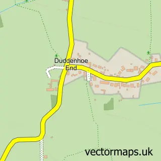
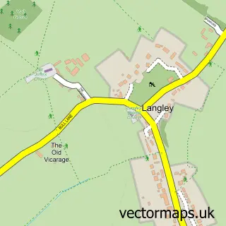
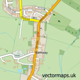
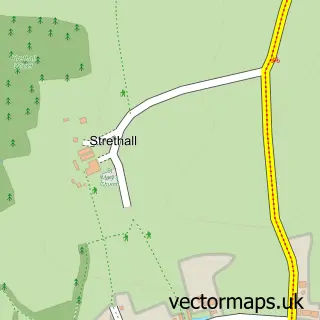
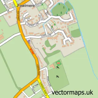
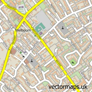
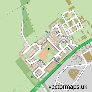
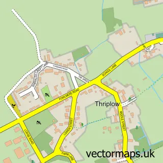
Nearby street map samples around Great Chishill


More street maps in Cambridgeshire
750 metre map area coverage
Boundary, postcode and point of interest information for the 750m x 750m rectangle centred on this sample map.
Boundaries containing map centre
Constituency: South Cambridgeshire Co Const
County: Cambridgeshire County
District: South Cambridgeshire District
Icb: NHS Central East ICB
Parish: Great and Little Chishill CP
Police Force: cambridgeshire
Postcode District: SG8
Postcode Sector: SG8 8
Ward: Foxton Ward
Nearby boundaries intersecting sample
No additional intersecting boundaries found.
Postcode coverage
POI category counts
Anglican Church: 1
Bed And Breakfast: 1
Computer Store: 1
Crops Production: 1
Equestrian Facility: 1
Home Goods Store: 1
Key And Locksmith: 1
Professional Services: 1
Pub: 1
Public Service And Government: 1
Sample points of interest
- Great Chishill: St Swithun
- Hall Farm Bed & Breakfast
- Maynard Projects
- Wiseman Farms
- Rachel Levy Equestrian
- Lindsey Soft Furnishings
- LockSwift LockSmith
- Revive and Restore Pressure Washing
- The Pheasant
- Village Hall, Great Chishill
- Lindsey's Soft Furnishings and Dressmaking
Create a larger editable map of Great Chishill
This sample shows only a 750 metre area. To create a larger map of Great Chishill, use our map builder to choose your own coverage area, add titles and download editable SVG, PDF and PNG files.
Create a custom map of Great Chishill