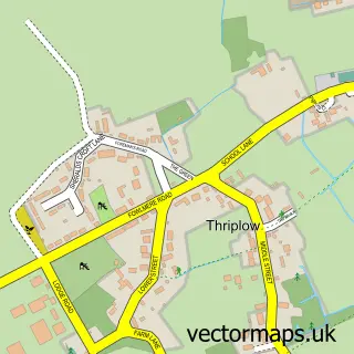
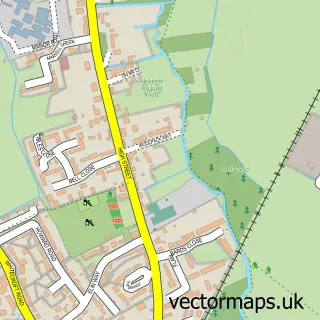
This Fowlmere street map is a detailed vector street map covering a 750m x 750m area. Select a larger area to create and download your own vector street map of Fowlmere.
The 750-metre map sample for Fowlmere covers 170 mapped buildings and approximately 11.8 km of road detail, of which 15 named roads are named. The immediate area includes 1 pub and 3 MOT stations within 2 miles. The wider area around Fowlmere features 2 food and drink venues, 1 hotel and 1 campsite within 2 miles. To create a larger or custom map of Fowlmere, the map builder lets you define your own coverage area and download editable SVG, PDF and PNG files.
Create a larger editable map of Fowlmere
Choose any area you need and generate a high-quality vector map instantly. Perfect for print, planning, design, business and personal use.

This Fowlmere street map in Cambridgeshire is available as downloadable SVG, PDF and PNG map files, or as a printed map for planning, business, display, education, local information and design work. You can also create a larger custom map area using the map selector.
What this Fowlmere map sample shows
Fowlmere lies within Fowlmere Cp parish, part of Foxton ward in the South Cambridgeshire District local authority area. The postcode geography for this area includes the SG postcode area, the SG8 postcode district and the SG8 7 postcode sector. Residents fall under the Nhs Cambridgeshire And Peterborough Integrated Care Board for NHS services.
Local features near Fowlmere
Within 2 milesAmenities and services in and around Fowlmere.
Administrative and postcode information for Fowlmere
Fowlmere lies within Fowlmere Cp parish, part of Foxton ward in the South Cambridgeshire District local authority area. The postcode geography for this area includes the SG postcode area, the SG8 postcode district and the SG8 7 postcode sector. Residents fall under the Nhs Cambridgeshire And Peterborough Integrated Care Board for NHS services.
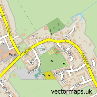
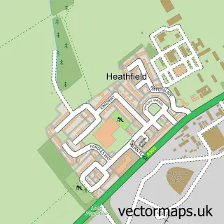
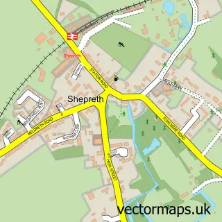
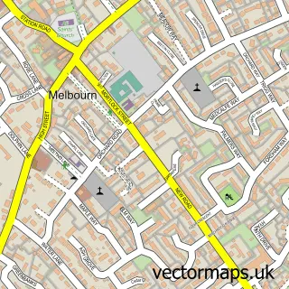
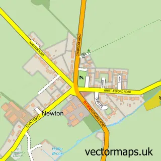
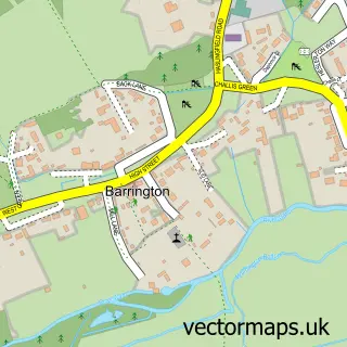
Nearby street map samples around Fowlmere


More street maps in Cambridgeshire
750 metre map area coverage
Boundary, postcode and point of interest information for the 750m x 750m rectangle centred on this sample map.
Boundaries containing map centre
Constituency: South Cambridgeshire Co Const
County: Cambridgeshire County
District: South Cambridgeshire District
Icb: NHS Central East ICB
Parish: Fowlmere CP
Police Force: cambridgeshire
Postcode District: SG8
Postcode Sector: SG8 7
Ward: Foxton Ward
Nearby boundaries intersecting sample
Parish: Thriplow and Heathfield CP
Ward: Whittlesford Ward
Postcode coverage
POI category counts
Professional Services: 2
Bar: 1
Cafe: 1
Charity Organization: 1
Church Cathedral: 1
Community Center: 1
Day Care Preschool: 1
Hair Salon: 1
Landscaping: 1
Paving Contractor: 1
Sample points of interest
- Queens Head
- Sachins Indian
- Christ's Hope International UK
- Fowlmere and Thriplow URC Church
- Fowlmere Village Hall
- Fowlmere Playgroup
- Gary Thornton
- Garden Inspirations
- Parkview Driveways And Patios
- Harlyn Research Llp
- Kwb Landscapes
- The Chequers Fowlmere
Create a larger editable map of Fowlmere
This sample shows only a 750 metre area. To create a larger map of Fowlmere, use our map builder to choose your own coverage area, add titles and download editable SVG, PDF and PNG files.
Create a custom map of Fowlmere