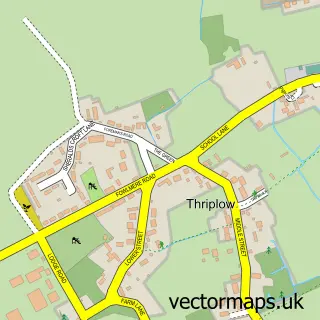
This Newton street map is a detailed vector street map covering a 750m x 750m area. Select a larger area to create and download your own vector street map of Newton.
The 750-metre map sample for Newton covers 147 mapped buildings and approximately 9.1 km of road detail, of which 10 named roads are named. The immediate area includes 1 GP surgery within 2 miles, 1 pub and 4 MOT stations within 2 miles. The wider area around Newton features 1 food and drink venue. To create a larger or custom map of Newton, the map builder lets you define your own coverage area and download editable SVG, PDF and PNG files.
Create a larger editable map of Newton
Choose any area you need and generate a high-quality vector map instantly. Perfect for print, planning, design, business and personal use.

This Newton street map in Cambridgeshire is available as downloadable SVG, PDF and PNG map files, or as a printed map for planning, business, display, education, local information and design work. You can also create a larger custom map area using the map selector.
What this Newton map sample shows
Newton lies within Newton Cp parish, part of Whittlesford ward in the South Cambridgeshire District local authority area. The postcode geography for this area includes the CB postcode area, the CB22 postcode district and the CB22 7 postcode sector. Residents fall under the Nhs Cambridgeshire And Peterborough Integrated Care Board for NHS services.
Local features near Newton
Within 2 milesAmenities and services in and around Newton.
Administrative and postcode information for Newton
Newton lies within Newton Cp parish, part of Whittlesford ward in the South Cambridgeshire District local authority area. The postcode geography for this area includes the CB postcode area, the CB22 postcode district and the CB22 7 postcode sector. Residents fall under the Nhs Cambridgeshire And Peterborough Integrated Care Board for NHS services.
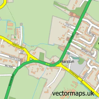
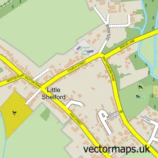
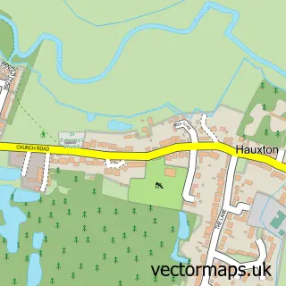
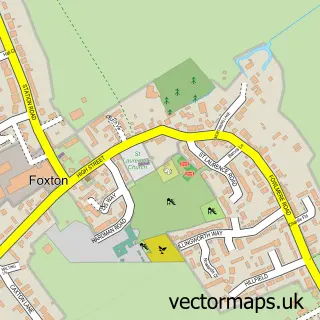
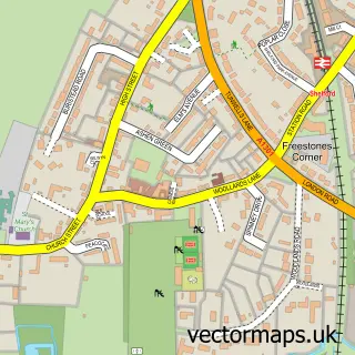
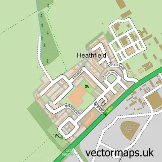
Nearby street map samples around Newton


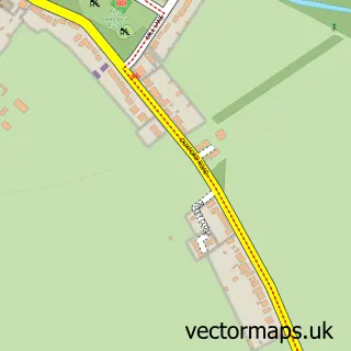
More street maps in Cambridgeshire
750 metre map area coverage
Boundary, postcode and point of interest information for the 750m x 750m rectangle centred on this sample map.
Boundaries containing map centre
Constituency: South Cambridgeshire Co Const
County: Cambridgeshire County
District: South Cambridgeshire District
Icb: NHS Central East ICB
Parish: Newton CP
Police Force: cambridgeshire
Postcode District: CB22
Postcode Sector: CB22 7
Ward: Whittlesford Ward
Nearby boundaries intersecting sample
No additional intersecting boundaries found.
Postcode coverage
POI category counts
Anglican Church: 1
Beauty Salon: 1
Counseling And Mental Health: 1
Dog Park: 1
Dog Walkers: 1
Electrical Wholesaler: 1
Employment Agencies: 1
Health Food Store: 1
Pub: 1
Real Estate Agent: 1
Sample points of interest
- St Margaret
- The Gel Bottle Nails by Steff
- Psychotherapy & Psychoanalysis
- Newton Dog Field Cambridgeshire
- CB22 Pet Services
- S G Controls
- Mjh Personnel Associates
- Landauer Honey
- The Queens Head
- Relocate Cambridge
- Newton Sports & Social Club
Create a larger editable map of Newton
This sample shows only a 750 metre area. To create a larger map of Newton, use our map builder to choose your own coverage area, add titles and download editable SVG, PDF and PNG files.
Create a custom map of Newton