This Great Shelford street map is a detailed vector street map covering a 750m x 750m area. Select a larger area to create and download your own vector street map of Great Shelford.
The 750-metre map sample for Great Shelford covers 353 mapped buildings and approximately 8.6 km of road detail, of which 21 named roads are named. The immediate area includes 1 school, 1 railway station, 2 pubs and 1 MOT station, with 4 within 2 miles. The wider area around Great Shelford features 2 tourism points of interest, 6 food and drink venues and 1 campsite within 2 miles. To create a larger or custom map of Great Shelford, the map builder lets you define your own coverage area and download editable SVG, PDF and PNG files.
Create a larger editable map of Great Shelford
Choose any area you need and generate a high-quality vector map instantly. Perfect for print, planning, design, business and personal use.

This Great Shelford street map in Cambridgeshire is available as downloadable SVG, PDF and PNG map files, or as a printed map for planning, business, display, education, local information and design work. You can also create a larger custom map area using the map selector.
What this Great Shelford map sample shows
Great Shelford lies within Great Shelford Cp parish, part of Shelford ward in the South Cambridgeshire District local authority area. The postcode geography for this area includes the CB postcode area, the CB22 postcode district and the CB22 5 postcode sector. Residents fall under the Nhs Cambridgeshire And Peterborough Integrated Care Board for NHS services.
Local features near Great Shelford
Within 2 milesAmenities and services in and around Great Shelford.
Administrative and postcode information for Great Shelford
The local authority covering Great Shelford is South Cambridgeshire District, within the county of Cambridgeshire. The settlement lies within Shelford ward and Great Shelford Cp civil parish. The CB22 postcode district and CB22 5 postcode sector serve the immediate area. NHS provision in the area is delivered through Cambridge University Hospitals Nhs Foundation Trust.
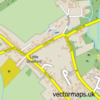
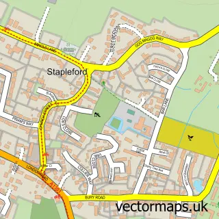
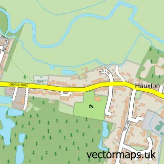
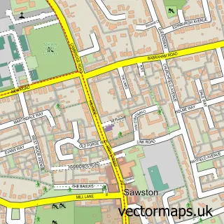
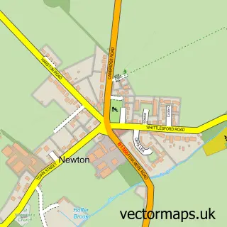
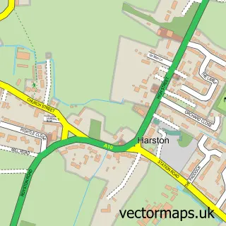
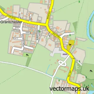
Nearby street map samples around Great Shelford


More street maps in Cambridgeshire
750 metre map area coverage
Boundary, postcode and point of interest information for the 750m x 750m rectangle centred on this sample map.
Boundaries containing map centre
Constituency: South Cambridgeshire Co Const
County: Cambridgeshire County
District: South Cambridgeshire District
Icb: NHS Central East ICB
Parish: Great Shelford CP
Police Force: cambridgeshire
Postcode District: CB22
Postcode Sector: CB22 5
Ward: Shelford Ward
Nearby boundaries intersecting sample
Parish: Sawston CP
Ward: Sawston Ward
Postcode coverage
POI category counts
Accountant: 4
Convenience Store: 3
Language School: 3
Professional Services: 3
Real Estate: 3
Telecommunications: 3
Train Station: 3
Advertising Agency: 2
Audiologist: 2
Automotive Repair: 2
Sample points of interest
- Day Accountants
- Nicholas Cliffe and Co
- TaxAssist Accountants
- TaxAssist Accountants
- Andrew Roberts Design & Illustration
- Marble Product Design
- St Mary the Virgin Great Shelford
- Main Appliances
- Storm Fine Arts
- The Maple Academy of Performing Arts
- angliEAR Hearing And Tinnitus Solutions
- angliEAR Hearing and Tinnitus Solutions
Create a larger editable map of Great Shelford
This sample shows only a 750 metre area. To create a larger map of Great Shelford, use our map builder to choose your own coverage area, add titles and download editable SVG, PDF and PNG files.
Create a custom map of Great Shelford