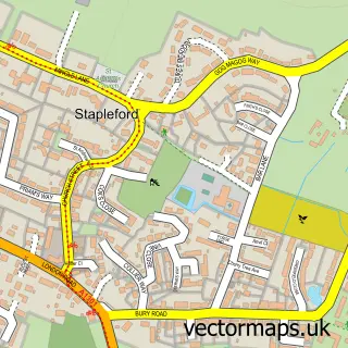
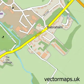
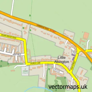
This Sawston street map is a detailed vector street map covering a 750m x 750m area. Select a larger area to create and download your own vector street map of Sawston.
The 750-metre map sample for Sawston covers 497 mapped buildings and approximately 15.7 km of road detail, of which 35 named roads are named. The immediate area includes 1 school, 1 GP surgery within 2 miles, 4 pubs and 1 MOT station, with 8 within 2 miles. The wider area around Sawston features 12 food and drink venues. To create a larger or custom map of Sawston, the map builder lets you define your own coverage area and download editable SVG, PDF and PNG files.
Create a larger editable map of Sawston
Choose any area you need and generate a high-quality vector map instantly. Perfect for print, planning, design, business and personal use.

This Sawston street map in Cambridgeshire is available as downloadable SVG, PDF and PNG map files, or as a printed map for planning, business, display, education, local information and design work. You can also create a larger custom map area using the map selector.
What this Sawston map sample shows
Sawston lies within Sawston Cp parish, part of Sawston ward in the South Cambridgeshire District local authority area. The postcode geography for this area includes the CB postcode area, the CB22 postcode district and the CB22 3 postcode sector. Residents fall under the Nhs Cambridgeshire And Peterborough Integrated Care Board for NHS services.
Local features near Sawston
Within 2 milesAmenities and services in and around Sawston.
Administrative and postcode information for Sawston
The local authority covering Sawston is South Cambridgeshire District, within the county of Cambridgeshire. The settlement lies within Sawston ward and Sawston Cp civil parish. The CB22 postcode district and CB22 3 postcode sector serve the immediate area. NHS provision in the area is delivered through Cambridge University Hospitals Nhs Foundation Trust.
Nearby street map samples around Sawston

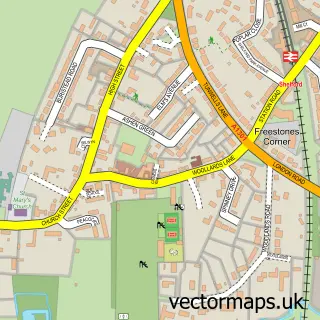
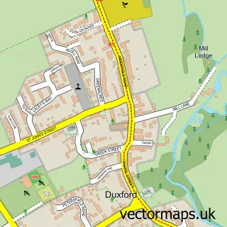
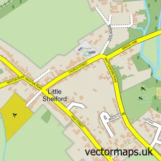
More street maps in Cambridgeshire
750 metre map area coverage
Boundary, postcode and point of interest information for the 750m x 750m rectangle centred on this sample map.
Boundaries containing map centre
Constituency: South Cambridgeshire Co Const
County: Cambridgeshire County
District: South Cambridgeshire District
Icb: NHS Central East ICB
Parish: Sawston CP
Police Force: cambridgeshire
Postcode District: CB22
Postcode Sector: CB22 3
Ward: Sawston Ward
Nearby boundaries intersecting sample
No additional intersecting boundaries found.
Postcode coverage
POI category counts
Hair Salon: 6
Cafe: 5
Convenience Store: 5
Barber: 4
Pub: 4
Atms: 3
Beauty Salon: 3
Coffee Shop: 3
Financial Service: 3
Flowers And Gifts Shop: 3
Sample points of interest
- Compton Hardwick Ltd
- Sandcroft Accountants & Payroll Bureau
- Sawston Army Cadet Detatchment
- Traditional Restorations
- Zigi's Fireplaces & Woodburners
- Bernard Lee & Associates Training
- ATM (Post Office)
- Central England Co-Op - Sawston
- Post Office-Sawston
- 4k Detail
- F Vindis & Sons
- North's Bakery
Create a larger editable map of Sawston
This sample shows only a 750 metre area. To create a larger map of Sawston, use our map builder to choose your own coverage area, add titles and download editable SVG, PDF and PNG files.
Create a custom map of Sawston