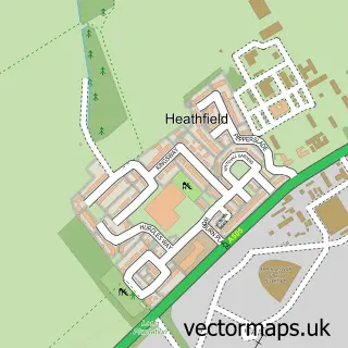
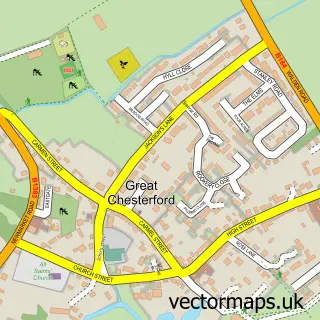
This Duxford street map is a detailed vector street map covering a 750m x 750m area. Select a larger area to create and download your own vector street map of Duxford.
The 750-metre map sample for Duxford covers 298 mapped buildings and approximately 9.3 km of road detail, of which 23 named roads are named. The immediate area includes 1 school, 1 GP surgery within 2 miles, 1 pub and 1 MOT station, with 5 within 2 miles. The wider area around Duxford features 1 tourism point of interest, 5 food and drink venues and 2 hotels. To create a larger or custom map of Duxford, the map builder lets you define your own coverage area and download editable SVG, PDF and PNG files.
Create a larger editable map of Duxford
Choose any area you need and generate a high-quality vector map instantly. Perfect for print, planning, design, business and personal use.

This Duxford street map in Cambridgeshire is available as downloadable SVG, PDF and PNG map files, or as a printed map for planning, business, display, education, local information and design work. You can also create a larger custom map area using the map selector.
What this Duxford map sample shows
Duxford lies within Duxford Cp parish, part of Duxford ward in the South Cambridgeshire District local authority area. The postcode geography for this area includes the CB postcode area, the CB22 postcode district and the CB22 4 postcode sector. Residents fall under the Nhs Cambridgeshire And Peterborough Integrated Care Board for NHS services.
Local features near Duxford
Within 2 milesAmenities and services in and around Duxford.
Administrative and postcode information for Duxford
Duxford lies within Duxford Cp parish, part of Duxford ward in the South Cambridgeshire District local authority area. The postcode geography for this area includes the CB postcode area, the CB22 postcode district and the CB22 4 postcode sector. Residents fall under the Nhs Cambridgeshire And Peterborough Integrated Care Board for NHS services.
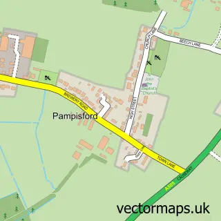
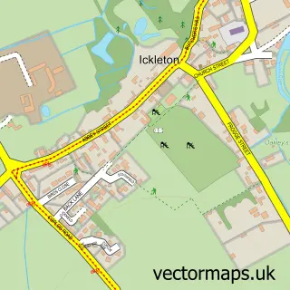
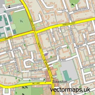
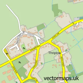
Nearby street map samples around Duxford

More street maps in Cambridgeshire
750 metre map area coverage
Boundary, postcode and point of interest information for the 750m x 750m rectangle centred on this sample map.
Boundaries containing map centre
Constituency: South Cambridgeshire Co Const
County: Cambridgeshire County
District: South Cambridgeshire District
Icb: NHS Central East ICB
Parish: Duxford CP
Police Force: cambridgeshire
Postcode District: CB22
Postcode Sector: CB22 4
Ward: Duxford Ward
Nearby boundaries intersecting sample
No additional intersecting boundaries found.
Postcode coverage
POI category counts
Cafe: 4
Post Office: 3
Automotive Repair: 2
Beauty Salon: 2
Church Cathedral: 2
Hotel: 2
Scout Hall: 2
Advertising Agency: 1
Anglican Church: 1
Antique Store: 1
Sample points of interest
- Technology Business Development
- St Peter's Church
- Riro Mooney Antiques
- DB Car Doctor
- Tune Up
- Thomas Shearing Furniture Restorati
- HSBC Bank
- Steve the Barman
- Botany Beauty
- Bridgette Ellwood Hair, Make Up and Beauty Lounge
- Tranquillity Beauty Salon
- Hortiservices
Create a larger editable map of Duxford
This sample shows only a 750 metre area. To create a larger map of Duxford, use our map builder to choose your own coverage area, add titles and download editable SVG, PDF and PNG files.
Create a custom map of Duxford