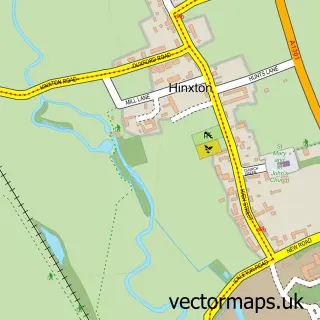
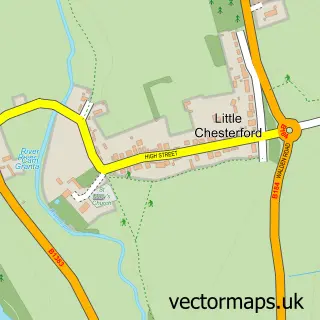
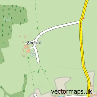
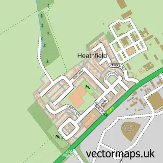
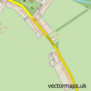
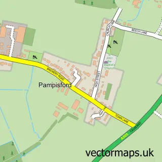
This Ickleton street map is a detailed vector street map covering a 750m x 750m area. Select a larger area to create and download your own vector street map of Ickleton.
The 750-metre map sample for Ickleton covers 218 mapped buildings and approximately 7.8 km of road detail, of which 14 named roads are named. The immediate area includes 1 pub and 2 MOT stations within 2 miles. The wider area around Ickleton features 2 tourism points of interest and 2 food and drink venues. To create a larger or custom map of Ickleton, the map builder lets you define your own coverage area and download editable SVG, PDF and PNG files.
Create a larger editable map of Ickleton
Choose any area you need and generate a high-quality vector map instantly. Perfect for print, planning, design, business and personal use.

This Ickleton street map in Cambridgeshire is available as downloadable SVG, PDF and PNG map files, or as a printed map for planning, business, display, education, local information and design work. You can also create a larger custom map area using the map selector.
What this Ickleton map sample shows
Ickleton lies within Ickleton Cp parish, part of Duxford ward in the South Cambridgeshire District local authority area. The postcode geography for this area includes the CB postcode area, the CB10 postcode district and the CB10 1 postcode sector. Residents fall under the Nhs Cambridgeshire And Peterborough Integrated Care Board for NHS services.
Local features near Ickleton
Within 2 milesAmenities and services in and around Ickleton.
Administrative and postcode information for Ickleton
Ickleton lies within Ickleton Cp parish, part of Duxford ward in the South Cambridgeshire District local authority area. The postcode geography for this area includes the CB postcode area, the CB10 postcode district and the CB10 1 postcode sector. Residents fall under the Nhs Cambridgeshire And Peterborough Integrated Care Board for NHS services.
Nearby street map samples around Ickleton

More street maps in Cambridgeshire
750 metre map area coverage
Boundary, postcode and point of interest information for the 750m x 750m rectangle centred on this sample map.
Boundaries containing map centre
Constituency: South Cambridgeshire Co Const
County: Cambridgeshire County
District: South Cambridgeshire District
Icb: NHS Central East ICB
Parish: Ickleton CP
Police Force: cambridgeshire
Postcode District: CB10
Postcode Sector: CB10 1
Ward: Duxford Ward
Nearby boundaries intersecting sample
No additional intersecting boundaries found.
Postcode coverage
POI category counts
Beauty Salon: 2
Korean Grocery Store: 2
Sports Club And League: 2
Advertising Agency: 1
Anglican Church: 1
Antique Store: 1
Auto Upholstery: 1
Business Management Services: 1
Cafe: 1
Charity Organization: 1
Sample points of interest
- Cuttsy & Cuttsy
- St Mary Magdalene
- T Reed & Son
- Gill Laird Upholstery Services
- Meg's at Linden Hair Design
- Megs at Linden Hair Design
- Team Consulting Ltd.
- Riverside Barns
- Fledglings Family Services
- Church of St Mary Magdalene
- Costcutter
- CML Micro Design Services
Create a larger editable map of Ickleton
This sample shows only a 750 metre area. To create a larger map of Ickleton, use our map builder to choose your own coverage area, add titles and download editable SVG, PDF and PNG files.
Create a custom map of Ickleton