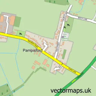
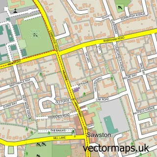
This Hinxton street map is a detailed vector street map covering a 750m x 750m area. Select a larger area to create and download your own vector street map of Hinxton.
The 750-metre map sample for Hinxton covers 112 mapped buildings and approximately 8.7 km of road detail, of which 9 named roads are named. The immediate area includes 1 pub and 5 MOT stations within 2 miles. The wider area around Hinxton features 1 tourism point of interest and 1 food and drink venue. To create a larger or custom map of Hinxton, the map builder lets you define your own coverage area and download editable SVG, PDF and PNG files.
Create a larger editable map of Hinxton
Choose any area you need and generate a high-quality vector map instantly. Perfect for print, planning, design, business and personal use.

This Hinxton street map in Cambridgeshire is available as downloadable SVG, PDF and PNG map files, or as a printed map for planning, business, display, education, local information and design work. You can also create a larger custom map area using the map selector.
What this Hinxton map sample shows
Hinxton lies within Hinxton Cp parish, part of Duxford ward in the South Cambridgeshire District local authority area. The postcode geography for this area includes the CB postcode area, the CB10 postcode district and the CB10 1 postcode sector. Residents fall under the Nhs Cambridgeshire And Peterborough Integrated Care Board for NHS services.
Local features near Hinxton
Within 2 milesAmenities and services in and around Hinxton.
Administrative and postcode information for Hinxton
Hinxton lies within Hinxton Cp parish, part of Duxford ward in the South Cambridgeshire District local authority area. The postcode geography for this area includes the CB postcode area, the CB10 postcode district and the CB10 1 postcode sector. Residents fall under the Nhs Cambridgeshire And Peterborough Integrated Care Board for NHS services.
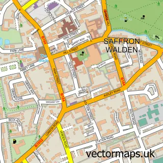
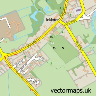
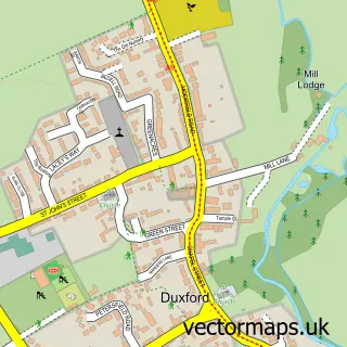
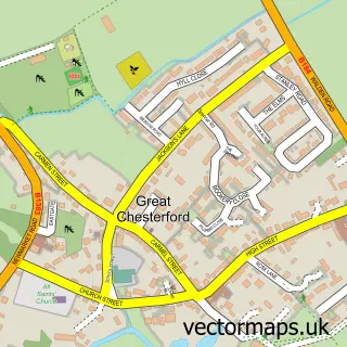
Nearby street map samples around Hinxton

More street maps in Cambridgeshire
750 metre map area coverage
Boundary, postcode and point of interest information for the 750m x 750m rectangle centred on this sample map.
Boundaries containing map centre
Constituency: South Cambridgeshire Co Const
County: Cambridgeshire County
District: South Cambridgeshire District
Icb: NHS Central East ICB
Parish: Hinxton CP
Police Force: cambridgeshire
Postcode District: CB10
Postcode Sector: CB10 1
Ward: Duxford Ward
Nearby boundaries intersecting sample
Parish: Duxford CP, Ickleton CP
Postcode District: CB22
Postcode Sector: CB22 4
Postcode coverage
POI category counts
Advertising Agency: 1
Auto Company: 1
Building Supply Store: 1
Campus Building: 1
Church Cathedral: 1
Event Planning: 1
Gym: 1
Home Service: 1
Landmark And Historical Building: 1
Playground: 1
Sample points of interest
- Swdl
- Saffron Walden Motors Ltd
- Engineering Safety & Testing Ltd
- Wellcome Genome Campus
- St Mary and St John Church
- Hinxton Village Hall
- Wilburs Gym
- Bright Horizons Families UK
- Duxford Hinxton Ford
- Hinxton Playground
- The Red Lion Inn
- Goddard Electrical
Create a larger editable map of Hinxton
This sample shows only a 750 metre area. To create a larger map of Hinxton, use our map builder to choose your own coverage area, add titles and download editable SVG, PDF and PNG files.
Create a custom map of Hinxton