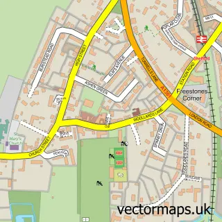
This Little Shelford street map is a detailed vector street map covering a 750m x 750m area. Select a larger area to create and download your own vector street map of Little Shelford.
The 750-metre map sample for Little Shelford covers 226 mapped buildings and approximately 8.1 km of road detail, of which 11 named roads are named. The immediate area includes 6 MOT stations within 2 miles. The wider area around Little Shelford features 2 tourism points of interest and 1 campsite within 2 miles. To create a larger or custom map of Little Shelford, the map builder lets you define your own coverage area and download editable SVG, PDF and PNG files.
Create a larger editable map of Little Shelford
Choose any area you need and generate a high-quality vector map instantly. Perfect for print, planning, design, business and personal use.

This Little Shelford street map in Cambridgeshire is available as downloadable SVG, PDF and PNG map files, or as a printed map for planning, business, display, education, local information and design work. You can also create a larger custom map area using the map selector.
What this Little Shelford map sample shows
Little Shelford lies within Little Shelford Cp parish, part of Shelford ward in the South Cambridgeshire District local authority area. The postcode geography for this area includes the CB postcode area, the CB22 postcode district and the CB22 5 postcode sector. Residents fall under the Nhs Cambridgeshire And Peterborough Integrated Care Board for NHS services.
Local features near Little Shelford
Within 2 milesAmenities and services in and around Little Shelford.
Administrative and postcode information for Little Shelford
The local authority covering Little Shelford is South Cambridgeshire District, within the county of Cambridgeshire. The settlement lies within Shelford ward and Little Shelford Cp civil parish. The CB22 postcode district and CB22 5 postcode sector serve the immediate area. NHS provision in the area is delivered through Cambridge University Hospitals Nhs Foundation Trust.
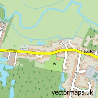
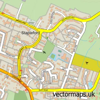
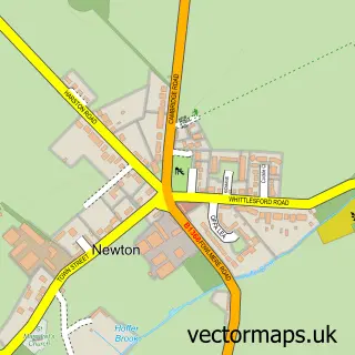
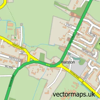
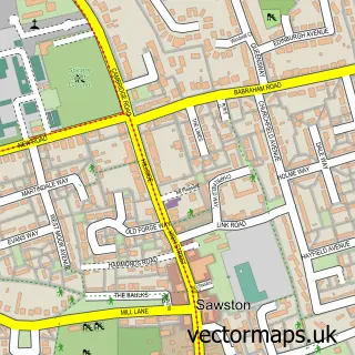
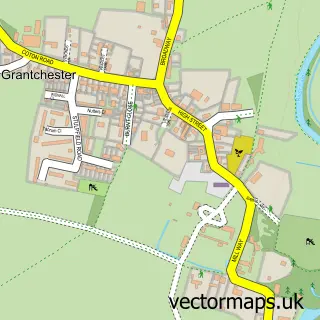
Nearby street map samples around Little Shelford


More street maps in Cambridgeshire
750 metre map area coverage
Boundary, postcode and point of interest information for the 750m x 750m rectangle centred on this sample map.
Boundaries containing map centre
Constituency: South Cambridgeshire Co Const
County: Cambridgeshire County
District: South Cambridgeshire District
Icb: NHS Central East ICB
Parish: Little Shelford CP
Police Force: cambridgeshire
Postcode District: CB22
Postcode Sector: CB22 5
Ward: Shelford Ward
Nearby boundaries intersecting sample
Parish: Great Shelford CP
Postcode coverage
POI category counts
Art Gallery: 1
Asian Fusion Restaurant: 1
Chinese Restaurant: 1
Church Cathedral: 1
Contractor: 1
Driving School: 1
Gym: 1
It Service And Computer Repair: 1
Jewelry Store: 1
Landmark And Historical Building: 1
Sample points of interest
- Cambridge Fine Art
- The Navigator
- Winners
- All Saints Little Shelford
- D Hatter The Gas Specialist
- City School of Motoring
- Rachel Amies - Personal Trainer & Nutrition Coach
- EIP Solutions
- Cloudberry Designs
- Little Shelford
- Cambridge Creative
- Shelford Massage
Create a larger editable map of Little Shelford
This sample shows only a 750 metre area. To create a larger map of Little Shelford, use our map builder to choose your own coverage area, add titles and download editable SVG, PDF and PNG files.
Create a custom map of Little Shelford