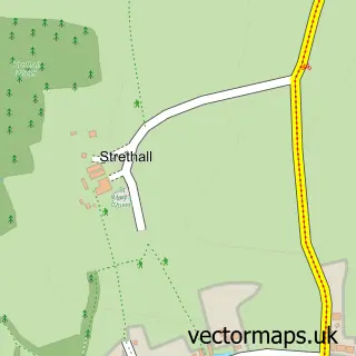
This Chrishall street map is a detailed vector street map covering a 750m x 750m area. Select a larger area to create and download your own vector street map of Chrishall.
The 750-metre map sample for Chrishall covers 139 mapped buildings and approximately 7.9 km of road detail, of which 9 named roads are named. The immediate area includes 1 school and 1 pub. The wider area around Chrishall features 1 food and drink venue. To create a larger or custom map of Chrishall, the map builder lets you define your own coverage area and download editable SVG, PDF and PNG files.
Create a larger editable map of Chrishall
Choose any area you need and generate a high-quality vector map instantly. Perfect for print, planning, design, business and personal use.

This Chrishall street map in Essex is available as downloadable SVG, PDF and PNG map files, or as a printed map for planning, business, display, education, local information and design work. You can also create a larger custom map area using the map selector.
What this Chrishall map sample shows
Chrishall lies within Chrishall Cp parish, part of Littlebury, Chesterford & Wenden Lofts ward in the Uttlesford District local authority area. The postcode geography for this area includes the SG postcode area, the SG8 postcode district and the SG8 8 postcode sector. Residents fall under the Nhs Hertfordshire And West Essex Integrated Care Board for NHS services.
Local features near Chrishall
Within 2 milesAmenities and services in and around Chrishall.
Administrative and postcode information for Chrishall
The local authority covering Chrishall is Uttlesford District, within the county of Essex. The settlement lies within Littlebury, Chesterford & Wenden Lofts ward and Chrishall Cp civil parish. The SG8 postcode district and SG8 8 postcode sector serve the immediate area. NHS provision in the area is delivered through Cambridge University Hospitals Nhs Foundation Trust.
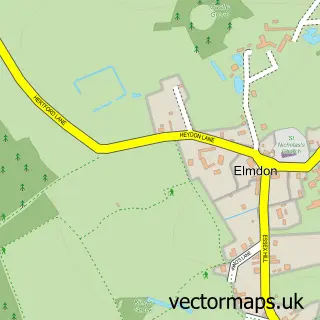
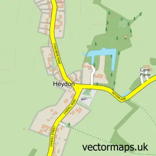
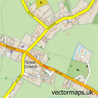
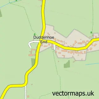
Nearby street map samples around Chrishall


More street maps in Essex
750 metre map area coverage
Boundary, postcode and point of interest information for the 750m x 750m rectangle centred on this sample map.
Boundaries containing map centre
Constituency: North West Essex Co Const
County: Essex County
District: Uttlesford District
Icb: NHS Central East ICB
Parish: Chrishall CP
Police Force: essex
Postcode District: SG8
Postcode Sector: SG8 8
Ward: Littlebury, Chesterford & Wenden Lofts Ward
Nearby boundaries intersecting sample
No additional intersecting boundaries found.
Postcode coverage
POI category counts
Community Services Non Profits: 1
Farm: 1
Florist: 1
Home Service: 1
Pub: 1
Reflexology: 1
School: 1
Taxi Service: 1
Sample points of interest
- Chrishall Village Hall
- Park Farm Forest School
- Honeychurch & Bennet Flower Studio
- Great Chishill Nursery
- The Red Cow
- Moonleaf Reflexology & Reiki
- Chrishall Holy Trinity and Saint Nicholas Church of England Primary School
- Diamond Cars
Create a larger editable map of Chrishall
This sample shows only a 750 metre area. To create a larger map of Chrishall, use our map builder to choose your own coverage area, add titles and download editable SVG, PDF and PNG files.
Create a custom map of Chrishall