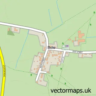
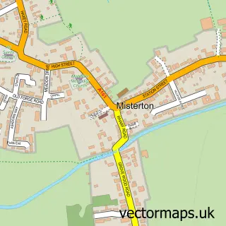
This Beckingham street map is a detailed vector street map covering a 750m x 750m area. Select a larger area to create and download your own vector street map of Beckingham.
The 750-metre map sample for Beckingham covers 349 mapped buildings and approximately 19.2 km of road detail, of which 22 named roads are named. The immediate area includes 1 school and 1 pub. The wider area around Beckingham features 1 food and drink venue. To create a larger or custom map of Beckingham, the map builder lets you define your own coverage area and download editable SVG, PDF and PNG files.
Create a larger editable map of Beckingham
Choose any area you need and generate a high-quality vector map instantly. Perfect for print, planning, design, business and personal use.

This Beckingham street map in Nottinghamshire is available as downloadable SVG, PDF and PNG map files, or as a printed map for planning, business, display, education, local information and design work. You can also create a larger custom map area using the map selector.
What this Beckingham map sample shows
Beckingham lies within Beckingham Cp parish, part of Beckingham ward in the Bassetlaw District local authority area. The postcode geography for this area includes the DN postcode area, the DN10 postcode district and the DN10 4 postcode sector. Residents fall under the Nhs Nottingham And Nottinghamshire Integrated Care Board for NHS services.
Local features near Beckingham
Within 2 milesAmenities and services in and around Beckingham.
Administrative and postcode information for Beckingham
Beckingham lies within Beckingham Cp parish, part of Beckingham ward in the Bassetlaw District local authority area. The postcode geography for this area includes the DN postcode area, the DN10 postcode district and the DN10 4 postcode sector. Residents fall under the Nhs Nottingham And Nottinghamshire Integrated Care Board for NHS services.
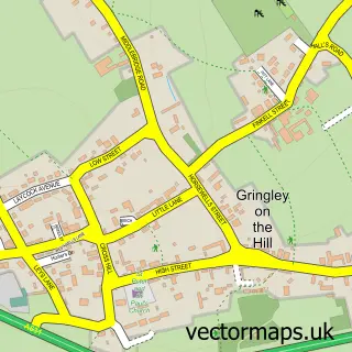
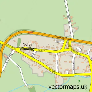
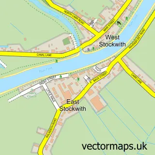
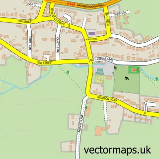
Nearby street map samples around Beckingham

More street maps in Nottinghamshire
750 metre map area coverage
Boundary, postcode and point of interest information for the 750m x 750m rectangle centred on this sample map.
Boundaries containing map centre
Constituency: Bassetlaw Co Const
County: Nottinghamshire County
District: Bassetlaw District
Icb: NHS Nottingham and Nottinghamshire ICB
Parish: Beckingham CP
Police Force: nottinghamshire
Postcode District: DN10
Postcode Sector: DN10 4
Ward: Beckingham Ward
Nearby boundaries intersecting sample
No additional intersecting boundaries found.
Postcode coverage
POI category counts
Professional Services: 3
Building Supply Store: 2
Contractor: 2
Home Improvement Store: 2
Accommodation: 1
Agriculture: 1
Business Management Services: 1
Church Cathedral: 1
Doctor: 1
Elementary School: 1
Sample points of interest
- Beckingham, Nottinghamshire
- A T Hill Ltd
- A Bower Plumbing & Heating
- Mechfs
- Aim Ltd.
- All Saints' Church, Beckingham
- A M Building Services
- AM Building Services
- TXM Plant
- Beckingham Primary School
- Lincoln Co-operative Society
- Bellezza
Create a larger editable map of Beckingham
This sample shows only a 750 metre area. To create a larger map of Beckingham, use our map builder to choose your own coverage area, add titles and download editable SVG, PDF and PNG files.
Create a custom map of Beckingham