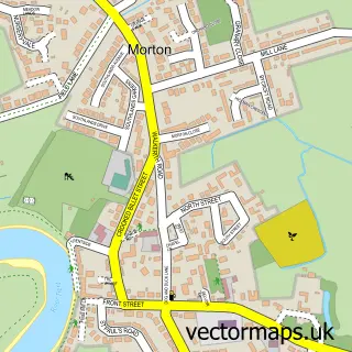
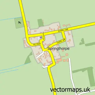
This Gainsborough street map is a detailed vector street map covering a 750m x 750m area. Select a larger area to create and download your own vector street map of Gainsborough.
The 750-metre map sample for Gainsborough covers 225 mapped buildings and approximately 24.9 km of road detail, of which 51 named roads are named. The immediate area includes 1 school, 1 GP surgery, with 2 within 2 miles, 10 pubs and 3 MOT stations, with 10 within 2 miles. The wider area around Gainsborough features 2 tourism points of interest, 27 food and drink venues and 3 hotels. To create a larger or custom map of Gainsborough, the map builder lets you define your own coverage area and download editable SVG, PDF and PNG files.
Create a larger editable map of Gainsborough
Choose any area you need and generate a high-quality vector map instantly. Perfect for print, planning, design, business and personal use.

This Gainsborough street map in Lincolnshire is available as downloadable SVG, PDF and PNG map files, or as a printed map for planning, business, display, education, local information and design work. You can also create a larger custom map area using the map selector.
What this Gainsborough map sample shows
Gainsborough lies within Gainsborough Cp parish, part of Gainsborough South-West ward in the West Lindsey District local authority area. The postcode geography for this area includes the DN postcode area, the DN21 postcode district and the DN21 2 postcode sector. Residents fall under the Nhs Lincolnshire Integrated Care Board for NHS services.
Local features near Gainsborough
Within 2 milesAmenities and services in and around Gainsborough.
Administrative and postcode information for Gainsborough
Gainsborough lies within Gainsborough Cp parish, part of Gainsborough South-West ward in the West Lindsey District local authority area. The postcode geography for this area includes the DN postcode area, the DN21 postcode district and the DN21 2 postcode sector. Residents fall under the Nhs Lincolnshire Integrated Care Board for NHS services.
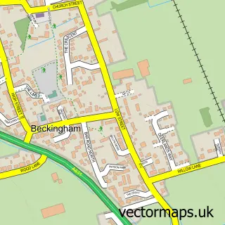
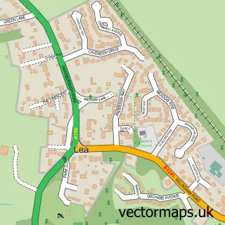
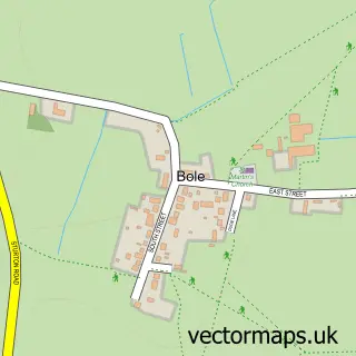
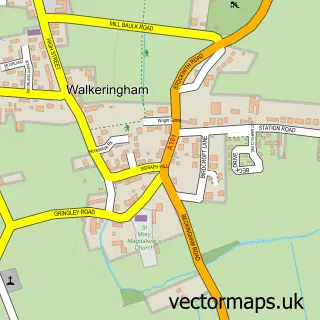
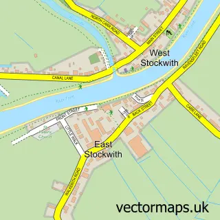
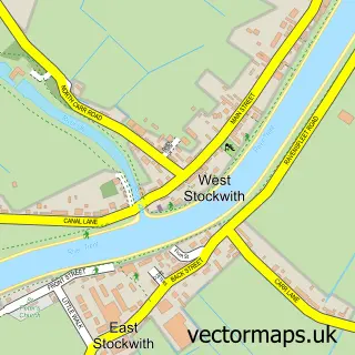
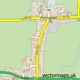
Nearby street map samples around Gainsborough

More street maps in Lincolnshire
750 metre map area coverage
Boundary, postcode and point of interest information for the 750m x 750m rectangle centred on this sample map.
Boundaries containing map centre
Constituency: Gainsborough Co Const
County: Lincolnshire County
District: West Lindsey District
Icb: NHS Lincolnshire ICB
Parish: Gainsborough CP
Police Force: lincolnshire
Postcode District: DN21
Postcode Sector: DN21 2
Ward: Gainsborough South-West Ward
Nearby boundaries intersecting sample
Constituency: Bassetlaw Co Const
County: Nottinghamshire County
District: Bassetlaw District
Icb: NHS Nottingham and Nottinghamshire ICB
Parish: Beckingham CP
Police Force: nottinghamshire
Postcode Sector: DN21 1
Ward: Beckingham Ward, Gainsborough East Ward, Gainsborough North Ward
Postcode coverage
POI category counts
Hair Salon: 17
Clothing Store: 14
Beauty Salon: 10
Pub: 10
Discount Store: 9
Automotive Repair: 8
Bank Credit Union: 8
Flowers And Gifts Shop: 8
Coffee Shop: 7
Furniture Store: 7
Sample points of interest
- Booth Parkes Accountants
- Rigel Wolf
- Connexions
- Digitech Business Equipment
- Margaret tysoe
- Chicken Express
- Teddy's Amusements
- All Saints
- Just the Thing
- Pilgrims Antiques Centre
- R M Antiques
- Wabi - Sabi - Gainsborough
Create a larger editable map of Gainsborough
This sample shows only a 750 metre area. To create a larger map of Gainsborough, use our map builder to choose your own coverage area, add titles and download editable SVG, PDF and PNG files.
Create a custom map of Gainsborough