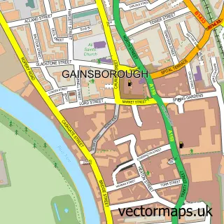
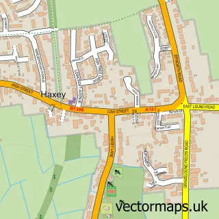
This Misterton street map is a detailed vector street map covering a 750m x 750m area. Select a larger area to create and download your own vector street map of Misterton.
The 750-metre map sample for Misterton covers 305 mapped buildings and approximately 10.3 km of road detail, of which 20 named roads are named. The immediate area includes 2 MOT stations within 2 miles. The wider area around Misterton features 1 tourism point of interest, 1 food and drink venue and 1 hotel. To create a larger or custom map of Misterton, the map builder lets you define your own coverage area and download editable SVG, PDF and PNG files.
Create a larger editable map of Misterton
Choose any area you need and generate a high-quality vector map instantly. Perfect for print, planning, design, business and personal use.

This Misterton street map in Nottinghamshire is available as downloadable SVG, PDF and PNG map files, or as a printed map for planning, business, display, education, local information and design work. You can also create a larger custom map area using the map selector.
What this Misterton map sample shows
Misterton lies within Misterton Cp parish, part of Misterton ward in the Bassetlaw District local authority area. The postcode geography for this area includes the DN postcode area, the DN10 postcode district and the DN10 4 postcode sector. Residents fall under the Nhs Nottingham And Nottinghamshire Integrated Care Board for NHS services.
Local features near Misterton
Within 2 milesAmenities and services in and around Misterton.
Administrative and postcode information for Misterton
The local authority covering Misterton is Bassetlaw District, within the county of Nottinghamshire. The settlement lies within Misterton ward and Misterton Cp civil parish. The DN10 postcode district and DN10 4 postcode sector serve the immediate area. NHS provision in the area is delivered through Doncaster And Bassetlaw Teaching Hospitals Nhs Foundation Trust.
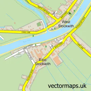
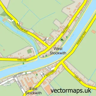
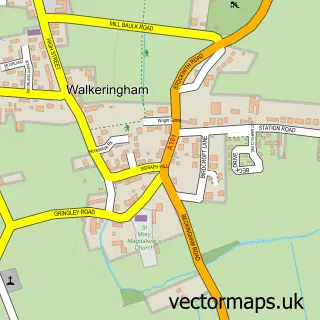
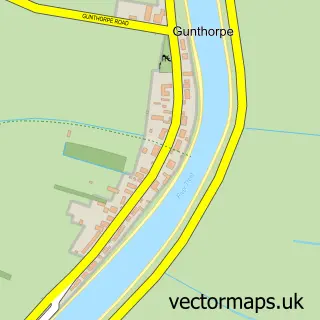
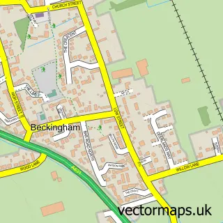
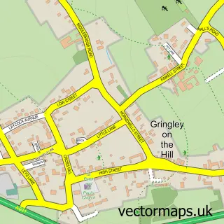
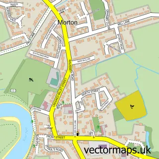
Nearby street map samples around Misterton

More street maps in Nottinghamshire
750 metre map area coverage
Boundary, postcode and point of interest information for the 750m x 750m rectangle centred on this sample map.
Boundaries containing map centre
Constituency: Bassetlaw Co Const
County: Nottinghamshire County
District: Bassetlaw District
Icb: NHS Nottingham and Nottinghamshire ICB
Parish: Misterton CP
Police Force: nottinghamshire
Postcode District: DN10
Postcode Sector: DN10 4
Ward: Misterton Ward
Nearby boundaries intersecting sample
No additional intersecting boundaries found.
Postcode coverage
POI category counts
Post Office: 3
Beauty Salon: 2
Convenience Store: 2
Library: 2
Agriculture: 1
Atms: 1
Automotive Repair: 1
Automotive Services And Repair: 1
Bar: 1
Chinese Restaurant: 1
Sample points of interest
- A Booth Potatoes
- Lincolnshire Co-op - Misterton (001074)
- Key Automotive Solutions
- Misterton MOT Service Centre
- The Red Hart
- Faith & Co.
- Secretly Beautiful Hair Studio
- Hong Kong Chef
- All Saints Parish Church
- Costa Express
- Universal Coatings UK
- Misterton Delivery Office
Create a larger editable map of Misterton
This sample shows only a 750 metre area. To create a larger map of Misterton, use our map builder to choose your own coverage area, add titles and download editable SVG, PDF and PNG files.
Create a custom map of Misterton