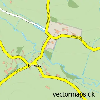
This Beer street map is a detailed vector street map covering a 750m x 750m area. Select a larger area to create and download your own vector street map of Beer.
The 750-metre map sample for Beer covers 327 mapped buildings and approximately 15.8 km of road detail, of which 27 named roads are named. The immediate area includes 1 school, 2 GP surgeries within 2 miles, 4 pubs and 2 MOT stations within 2 miles. The wider area around Beer features 1 tourism point of interest, 8 food and drink venues and 9 hotels. To create a larger or custom map of Beer, the map builder lets you define your own coverage area and download editable SVG, PDF and PNG files.
Create a larger editable map of Beer
Choose any area you need and generate a high-quality vector map instantly. Perfect for print, planning, design, business and personal use.

This Beer street map in Devon is available as downloadable SVG, PDF and PNG map files, or as a printed map for planning, business, display, education, local information and design work. You can also create a larger custom map area using the map selector.
What this Beer map sample shows
Beer lies within Beer Cp parish, part of Beer & Branscombe ward in the East Devon District local authority area. The postcode geography for this area includes the EX postcode area, the EX12 postcode district and the EX12 3 postcode sector. Residents fall under the Nhs Devon Integrated Care Board for NHS services.
Local features near Beer
Within 2 milesAmenities and services in and around Beer.
Administrative and postcode information for Beer
Beer lies within Beer Cp parish, part of Beer & Branscombe ward in the East Devon District local authority area. The postcode geography for this area includes the EX postcode area, the EX12 postcode district and the EX12 3 postcode sector. Residents fall under the Nhs Devon Integrated Care Board for NHS services.
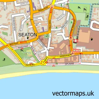
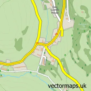
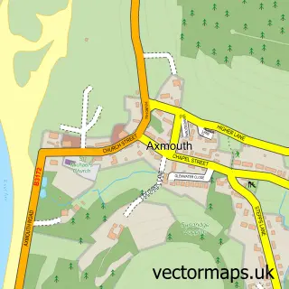
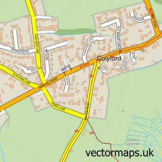
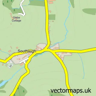
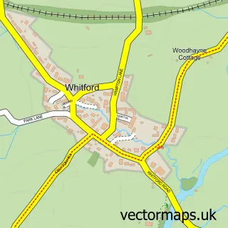
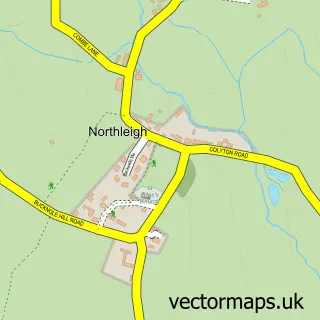
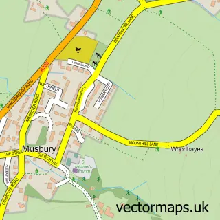
Nearby street map samples around Beer

More street maps in Devon
750 metre map area coverage
Boundary, postcode and point of interest information for the 750m x 750m rectangle centred on this sample map.
Boundaries containing map centre
Constituency: Honiton and Sidmouth Co Const
County: Devon County
District: East Devon District
Icb: NHS Devon ICB
Parish: Beer CP
Police Force: devon and cornwall
Postcode District: EX12
Postcode Sector: EX12 3
Ward: Beer & Branscombe Ward
Nearby boundaries intersecting sample
No additional intersecting boundaries found.
Postcode coverage
POI category counts
Hotel: 9
Bed And Breakfast: 7
Pub: 4
Church Cathedral: 3
Clothing Store: 3
Education: 3
Elementary School: 3
Art Gallery: 2
Bar: 2
Doctor: 2
Sample points of interest
- Focal Research
- St Michael
- Marine House at Beer
- Steam Gallery At Beer
- Pauls Bakery
- Lloyds Bank
- The Beer
- The Beer Mariners Hall
- 5th Avenue
- By the Shaw
- Ashdale House
- Bay View B&B
Create a larger editable map of Beer
This sample shows only a 750 metre area. To create a larger map of Beer, use our map builder to choose your own coverage area, add titles and download editable SVG, PDF and PNG files.
Create a custom map of Beer