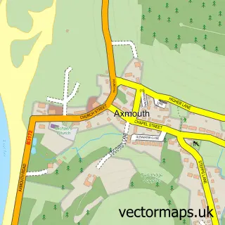
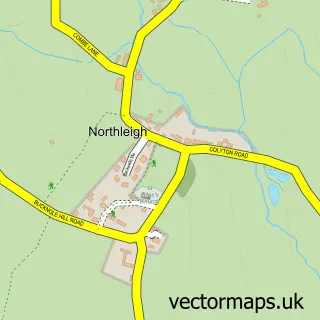
This Seaton street map is a detailed vector street map covering a 750m x 750m area. Select a larger area to create and download your own vector street map of Seaton.
The 750-metre map sample for Seaton covers 271 mapped buildings and approximately 13.8 km of road detail, of which 34 named roads are named. The immediate area includes 1 railway station, 2 GP surgeries within 2 miles, 4 pubs and 1 MOT station, with 2 within 2 miles. The wider area around Seaton features 10 tourism points of interest, 21 food and drink venues and 2 hotels. To create a larger or custom map of Seaton, the map builder lets you define your own coverage area and download editable SVG, PDF and PNG files.
Create a larger editable map of Seaton
Choose any area you need and generate a high-quality vector map instantly. Perfect for print, planning, design, business and personal use.

This Seaton street map in Devon is available as downloadable SVG, PDF and PNG map files, or as a printed map for planning, business, display, education, local information and design work. You can also create a larger custom map area using the map selector.
What this Seaton map sample shows
Seaton lies within Seaton Cp parish, part of Seaton ward in the East Devon District local authority area. The postcode geography for this area includes the EX postcode area, the EX12 postcode district and the EX12 2 postcode sector. Residents fall under the Nhs Devon Integrated Care Board for NHS services.
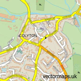
Local features near Seaton
Within 2 milesAmenities and services in and around Seaton.
Administrative and postcode information for Seaton
Seaton lies within Seaton Cp parish, part of Seaton ward in the East Devon District local authority area. The postcode geography for this area includes the EX postcode area, the EX12 postcode district and the EX12 2 postcode sector. Residents fall under the Nhs Devon Integrated Care Board for NHS services.
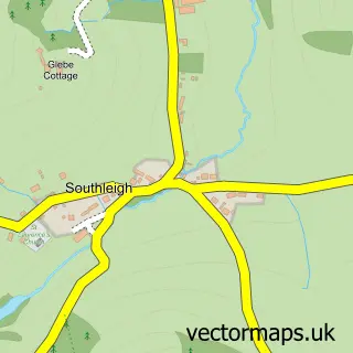
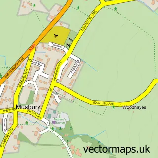
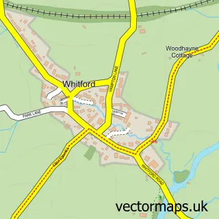
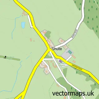
Nearby street map samples around Seaton

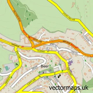
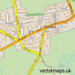
More street maps in Devon
750 metre map area coverage
Boundary, postcode and point of interest information for the 750m x 750m rectangle centred on this sample map.
Boundaries containing map centre
Constituency: Honiton and Sidmouth Co Const
County: Devon County
District: East Devon District
Icb: NHS Devon ICB
Parish: Seaton CP
Police Force: devon and cornwall
Postcode District: EX12
Postcode Sector: EX12 2
Ward: Seaton Ward
Nearby boundaries intersecting sample
Ward: Beer & Branscombe Ward
Postcode coverage
POI category counts
Real Estate Agent: 8
Cafe: 7
Flowers And Gifts Shop: 7
Hair Salon: 7
Landmark And Historical Building: 7
Banks: 6
Coffee Shop: 6
Arts And Crafts: 5
Gift Shop: 5
Accountant: 4
Sample points of interest
- Axe Valley Accountancy
- Hammett Associates
- Lentells Ltd
- Westcotts Chartered Accountants & Business Advisers
- The Kettle
- Pastimes Amusements
- Fieldstone Architecture
- Grandpa's Gallery Seaton
- Triptych Gallery and Framing
- Coastal Craft Collective
- Devon Art Supplies
- Lunar Coven Cove
Create a larger editable map of Seaton
This sample shows only a 750 metre area. To create a larger map of Seaton, use our map builder to choose your own coverage area, add titles and download editable SVG, PDF and PNG files.
Create a custom map of Seaton