This Axmouth street map is a detailed vector street map covering a 750m x 750m area. Select a larger area to create and download your own vector street map of Axmouth.
The 750-metre map sample for Axmouth covers 123 mapped buildings and approximately 11.3 km of road detail, of which 11 named roads are named. The immediate area includes 2 GP surgeries within 2 miles, 3 pubs and 3 MOT stations within 2 miles. The wider area around Axmouth features 2 tourism points of interest, 3 food and drink venues and 1 campsite within 2 miles. To create a larger or custom map of Axmouth, the map builder lets you define your own coverage area and download editable SVG, PDF and PNG files.
Create a larger editable map of Axmouth
Choose any area you need and generate a high-quality vector map instantly. Perfect for print, planning, design, business and personal use.

This Axmouth street map in Devon is available as downloadable SVG, PDF and PNG map files, or as a printed map for planning, business, display, education, local information and design work. You can also create a larger custom map area using the map selector.
What this Axmouth map sample shows
Axmouth lies within Axmouth Cp parish, part of Trinity ward in the East Devon District local authority area. The postcode geography for this area includes the EX postcode area, the EX12 postcode district and the EX12 4 postcode sector. Residents fall under the Nhs Devon Integrated Care Board for NHS services.
Local features near Axmouth
Within 2 milesAmenities and services in and around Axmouth.
Administrative and postcode information for Axmouth
The local authority covering Axmouth is East Devon District, within the county of Devon. The settlement lies within Trinity ward and Axmouth Cp civil parish. The EX12 postcode district and EX12 4 postcode sector serve the immediate area. NHS provision in the area is delivered through Royal Devon University Healthcare Nhs Foundation Trust.
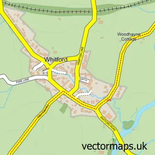
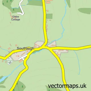
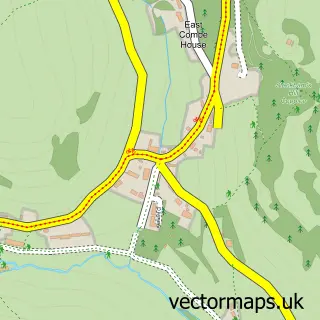
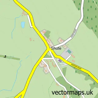
Nearby street map samples around Axmouth

More street maps in Devon
750 metre map area coverage
Boundary, postcode and point of interest information for the 750m x 750m rectangle centred on this sample map.
Boundaries containing map centre
Constituency: Honiton and Sidmouth Co Const
County: Devon County
District: East Devon District
Icb: NHS Devon ICB
Parish: Axmouth CP
Police Force: devon and cornwall
Postcode District: EX12
Postcode Sector: EX12 4
Ward: Trinity Ward
Nearby boundaries intersecting sample
No additional intersecting boundaries found.
Postcode coverage
POI category counts
Pub: 3
It Service And Computer Repair: 2
Amusement Park: 1
Campground: 1
Chicken Restaurant: 1
Church Cathedral: 1
Electrician: 1
Monument: 1
Real Estate Agent: 1
Sporting Goods: 1
Sample points of interest
- Axmouth Village Hall
- Axmouth Camping Site
- Buffalo Jill’s
- Axmouth Church
- Abron Electrical Services
- Axmouth Computers
- Seaton Computer Consultant
- Axmouth Priory
- Harbour Inn
- The Harbour Inn
- The Ship Inn
- The Pidgeon Nest, Axmouth
Create a larger editable map of Axmouth
This sample shows only a 750 metre area. To create a larger map of Axmouth, use our map builder to choose your own coverage area, add titles and download editable SVG, PDF and PNG files.
Create a custom map of Axmouth