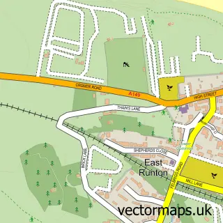
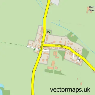
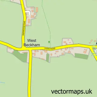
This Beeston Regis street map is a detailed vector street map covering a 750m x 750m area. Select a larger area to create and download your own vector street map of Beeston Regis.
The 750-metre map sample for Beeston Regis covers 101 mapped buildings and approximately 5.9 km of road detail, of which 3 named roads are named. The immediate area includes 1 school, 1 GP surgery within 2 miles and 1 MOT station, with 3 within 2 miles. The wider area around Beeston Regis features 3 tourism points of interest and 4 campsites within 2 miles. To create a larger or custom map of Beeston Regis, the map builder lets you define your own coverage area and download editable SVG, PDF and PNG files.
Create a larger editable map of Beeston Regis
Choose any area you need and generate a high-quality vector map instantly. Perfect for print, planning, design, business and personal use.

This Beeston Regis street map in Norfolk is available as downloadable SVG, PDF and PNG map files, or as a printed map for planning, business, display, education, local information and design work. You can also create a larger custom map area using the map selector.
What this Beeston Regis map sample shows
Beeston Regis lies within Beeston Regis Cp parish, part of Beeston Regis & The Runtons ward in the North Norfolk District local authority area. The postcode geography for this area includes the NR postcode area, the NR26 postcode district and the NR26 8 postcode sector. Residents fall under the Nhs Norfolk And Waveney Integrated Care Board for NHS services.
Local features near Beeston Regis
Within 2 milesAmenities and services in and around Beeston Regis.
Administrative and postcode information for Beeston Regis
The local authority covering Beeston Regis is North Norfolk District, within the county of Norfolk. The settlement lies within Beeston Regis & The Runtons ward and Beeston Regis Cp civil parish. The NR26 postcode district and NR26 8 postcode sector serve the immediate area. NHS provision in the area is delivered through Norfolk And Norwich University Hospitals Nhs Foundation Trust.
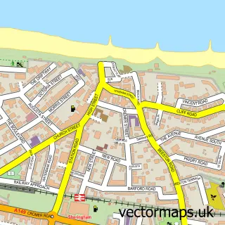
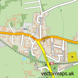
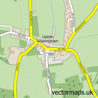
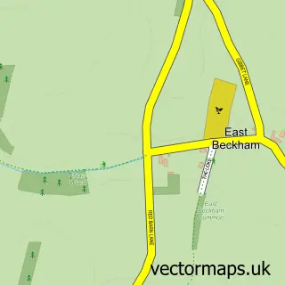
Nearby street map samples around Beeston Regis

More street maps in Norfolk
750 metre map area coverage
Boundary, postcode and point of interest information for the 750m x 750m rectangle centred on this sample map.
Boundaries containing map centre
Constituency: North Norfolk Co Const
County: Norfolk County
District: North Norfolk District
Icb: NHS Norfolk and Waveney ICB
Parish: Beeston Regis CP
Police Force: norfolk
Postcode District: NR27
Postcode Sector: NR27 9
Ward: Beeston Regis & The Runtons Ward
Nearby boundaries intersecting sample
Parish: Runton CP, Sheringham CP
Postcode District: NR26
Postcode Sector: NR26 8
Ward: Sheringham North Ward
Postcode coverage
POI category counts
Campground: 3
Anglican Church: 2
Automotive Repair: 1
Circus: 1
Construction Services: 1
Convenience Store: 1
Elementary School: 1
Private School: 1
Professional Services: 1
Scout Hall: 1
Sample points of interest
- All Saints Church
- All Saints Church Beeston Regis
- Regent Garage
- Beeston Regis Caravan Park Ltd.
- Beeston Regis Holiday Park
- Hall Farm
- Cromer Circus
- Alto Construction Services
- Beeston Mini Market
- Camp Beaumont Day Camps
- Beeston Hall School
- Alto Plant Hire
Create a larger editable map of Beeston Regis
This sample shows only a 750 metre area. To create a larger map of Beeston Regis, use our map builder to choose your own coverage area, add titles and download editable SVG, PDF and PNG files.
Create a custom map of Beeston Regis