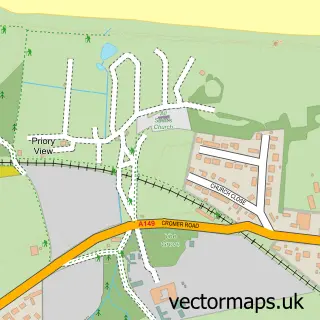
This Sheringham street map is a detailed vector street map covering a 750m x 750m area. Select a larger area to create and download your own vector street map of Sheringham.
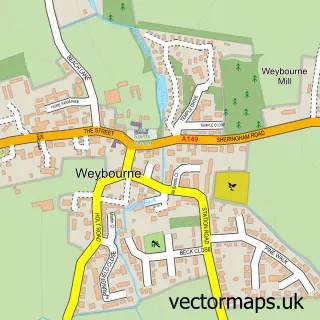
The 750-metre map sample for Sheringham covers 407 mapped buildings and approximately 15.9 km of road detail, of which 48 named roads are named. The immediate area includes 1 railway station, 1 GP surgery within 2 miles, 10 pubs and 3 MOT stations within 2 miles. The wider area around Sheringham features 7 tourism points of interest, 33 food and drink venues and 12 hotels. To create a larger or custom map of Sheringham, the map builder lets you define your own coverage area and download editable SVG, PDF and PNG files.
Create a larger editable map of Sheringham
Choose any area you need and generate a high-quality vector map instantly. Perfect for print, planning, design, business and personal use.

This Sheringham street map in Norfolk is available as downloadable SVG, PDF and PNG map files, or as a printed map for planning, business, display, education, local information and design work. You can also create a larger custom map area using the map selector.
What this Sheringham map sample shows
Sheringham lies within Sheringham Cp parish, part of Sheringham South ward in the North Norfolk District local authority area. The postcode geography for this area includes the NR postcode area, the NR26 postcode district and the NR26 8 postcode sector. Residents fall under the Nhs Norfolk And Waveney Integrated Care Board for NHS services.
Local features near Sheringham
Within 2 milesAmenities and services in and around Sheringham.
Administrative and postcode information for Sheringham
Sheringham lies within Sheringham Cp parish, part of Sheringham South ward in the North Norfolk District local authority area. The postcode geography for this area includes the NR postcode area, the NR26 postcode district and the NR26 8 postcode sector. Residents fall under the Nhs Norfolk And Waveney Integrated Care Board for NHS services.
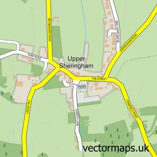
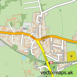
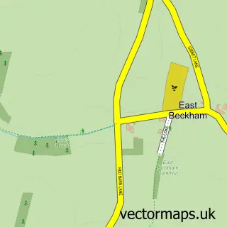
Nearby street map samples around Sheringham

More street maps in Norfolk
750 metre map area coverage
Boundary, postcode and point of interest information for the 750m x 750m rectangle centred on this sample map.
Boundaries containing map centre
Constituency: North Norfolk Co Const
County: Norfolk County
District: North Norfolk District
Icb: NHS Norfolk and Waveney ICB
Parish: Sheringham CP
Police Force: norfolk
Postcode District: NR26
Postcode Sector: NR26 8
Ward: Sheringham North Ward
Nearby boundaries intersecting sample
Ward: Sheringham South Ward
Postcode coverage
POI category counts
Holiday Rental Home: 17
Hotel: 12
Coffee Shop: 11
Pub: 10
Flowers And Gifts Shop: 8
Cafe: 7
Hair Salon: 6
Train Station: 6
Art Gallery: 5
Bed And Breakfast: 5
Sample points of interest
- Burlington by the Sea
- The Guest House in Sheringham
- Hayes & Storr
- Hayes + Storr Solicitors
- Suzanne Reid Herbal Medicine, Food Energetics and Acupuncture
- Seasons
- Sheringham: St Peter
- RSPCA
- Break
- Sheringham Collectables
- Something 4 Everyone Antiques
- Carousel Amusements
Create a larger editable map of Sheringham
This sample shows only a 750 metre area. To create a larger map of Sheringham, use our map builder to choose your own coverage area, add titles and download editable SVG, PDF and PNG files.
Create a custom map of Sheringham