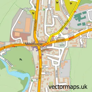
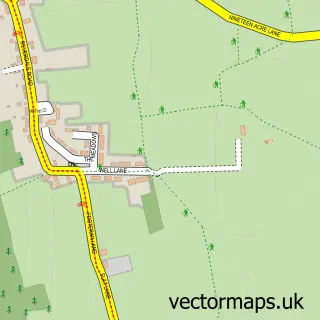
This Beetham street map is a detailed vector street map covering a 750m x 750m area. Select a larger area to create and download your own vector street map of Beetham.
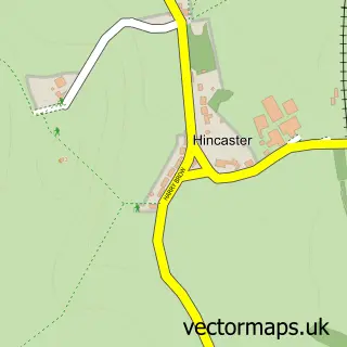
The 750-metre map sample for Beetham covers 81 mapped buildings and approximately 10.1 km of road detail, of which 4 named roads are named. The immediate area includes 1 school, 1 GP surgery within 2 miles, 1 pub and 2 MOT stations within 2 miles. The wider area around Beetham features 2 food and drink venues. To create a larger or custom map of Beetham, the map builder lets you define your own coverage area and download editable SVG, PDF and PNG files.
Create a larger editable map of Beetham
Choose any area you need and generate a high-quality vector map instantly. Perfect for print, planning, design, business and personal use.

This Beetham street map in Cumbria is available as downloadable SVG, PDF and PNG map files, or as a printed map for planning, business, display, education, local information and design work. You can also create a larger custom map area using the map selector.
What this Beetham map sample shows
Beetham lies within Beetham Cp parish, part of Arnside & Milnthorpe ward in the Westmorland And Furness local authority area. The postcode geography for this area includes the LA postcode area, the LA7 postcode district and the LA7 7 postcode sector. Residents fall under the Nhs Lancashire And South Cumbria Integrated Care Board for NHS services.
Local features near Beetham
Within 2 milesAmenities and services in and around Beetham.
Administrative and postcode information for Beetham
Beetham lies within Beetham Cp parish, part of Arnside & Milnthorpe ward in the Westmorland And Furness local authority area. The postcode geography for this area includes the LA postcode area, the LA7 postcode district and the LA7 7 postcode sector. Residents fall under the Nhs Lancashire And South Cumbria Integrated Care Board for NHS services.
Nearby street map samples around Beetham

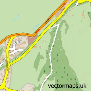
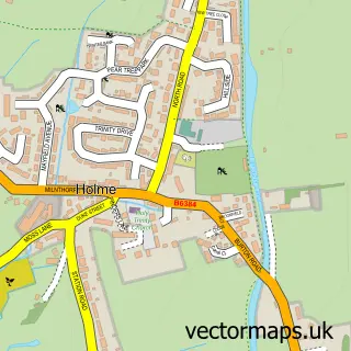
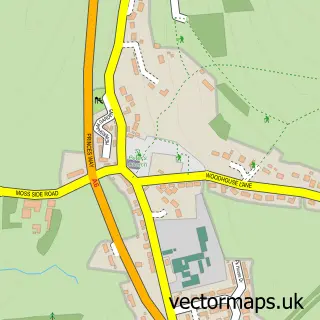
More street maps in Cumbria
750 metre map area coverage
Boundary, postcode and point of interest information for the 750m x 750m rectangle centred on this sample map.
Boundaries containing map centre
Constituency: Morecambe and Lunesdale Co Const
District: Westmorland and Furness
Icb: NHS Lancashire and South Cumbria ICB
Parish: Beetham CP
Police Force: cumbria
Postcode District: LA7
Postcode Sector: LA7 7
Ward: Kent Estuary Ward
Nearby boundaries intersecting sample
No additional intersecting boundaries found.
Postcode coverage
POI category counts
Professional Services: 2
Tea Room: 2
Anglican Church: 1
Church Cathedral: 1
Elementary School: 1
Nursery And Gardening: 1
Paper Mill: 1
Post Office: 1
Pub: 1
Restaurant: 1
Sample points of interest
- St Michael and All Angels, Beetham
- St Michael's Church, Beetham
- Beetham C of E Aided Primary School
- Beetham Nurseries
- Pelta Medical Papers
- Beetham Stores
- Graham Edwards Photography
- Graham Edwards Photography
- Wheatsheaf
- The Wheatsheaf
- The Cafe at Edith Anice
- The Old Beetham Post Office
Create a larger editable map of Beetham
This sample shows only a 750 metre area. To create a larger map of Beetham, use our map builder to choose your own coverage area, add titles and download editable SVG, PDF and PNG files.
Create a custom map of Beetham