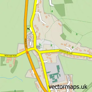
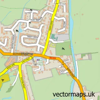
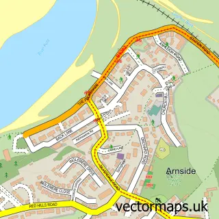
This Milnthorpe street map is a detailed vector street map covering a 750m x 750m area. Select a larger area to create and download your own vector street map of Milnthorpe.
The 750-metre map sample for Milnthorpe covers 299 mapped buildings and approximately 12.8 km of road detail, of which 30 named roads are named. The immediate area includes 1 primary school and 1 secondary school, 1 GP surgery, 4 pubs and 1 MOT station within 2 miles. The wider area around Milnthorpe features 3 tourism points of interest and 6 food and drink venues. To create a larger or custom map of Milnthorpe, the map builder lets you define your own coverage area and download editable SVG, PDF and PNG files.
Create a larger editable map of Milnthorpe
Choose any area you need and generate a high-quality vector map instantly. Perfect for print, planning, design, business and personal use.

This Milnthorpe street map in Cumbria is available as downloadable SVG, PDF and PNG map files, or as a printed map for planning, business, display, education, local information and design work. You can also create a larger custom map area using the map selector.
What this Milnthorpe map sample shows
Milnthorpe lies within Milnthorpe Cp parish, part of Arnside & Milnthorpe ward in the Westmorland And Furness local authority area. The postcode geography for this area includes the LA postcode area, the LA7 postcode district and the LA7 7 postcode sector. Residents fall under the Nhs Lancashire And South Cumbria Integrated Care Board for NHS services.
Local features near Milnthorpe
Within 2 milesAmenities and services in and around Milnthorpe.
Administrative and postcode information for Milnthorpe
The local authority covering Milnthorpe is Westmorland And Furness, within the county of Cumbria. The settlement lies within Arnside & Milnthorpe ward and Milnthorpe Cp civil parish. The LA7 postcode district and LA7 7 postcode sector serve the immediate area. NHS provision in the area is delivered through University Hospitals Of Morecambe Bay Nhs Foundation Trust.
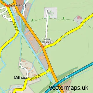
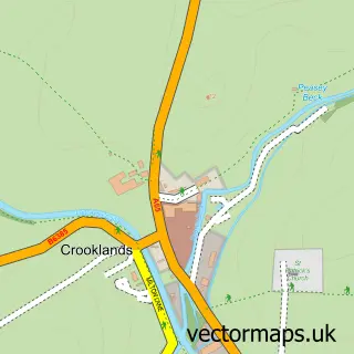
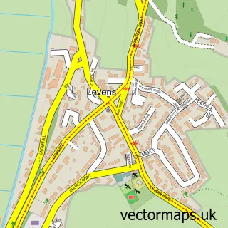
Nearby street map samples around Milnthorpe

More street maps in Cumbria
750 metre map area coverage
Boundary, postcode and point of interest information for the 750m x 750m rectangle centred on this sample map.
Boundaries containing map centre
Constituency: Morecambe and Lunesdale Co Const
District: Westmorland and Furness
Icb: NHS Lancashire and South Cumbria ICB
Parish: Milnthorpe CP
Police Force: cumbria
Postcode District: LA7
Postcode Sector: LA7 7
Ward: Kent Estuary Ward
Nearby boundaries intersecting sample
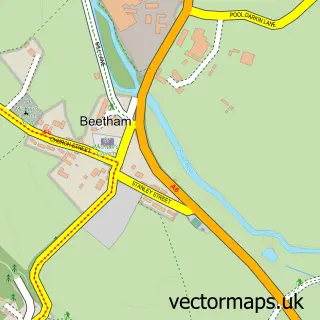
Parish: Beetham CP
Postcode coverage
POI category counts
Church Cathedral: 4
Dentist: 4
Pub: 4
Beauty And Spa: 3
Beauty Salon: 3
Gas Station: 3
General Dentistry: 3
Indian Restaurant: 3
Taxi Service: 3
Attractions And Activities: 2
Sample points of interest
- Harmony hill Milnthorpe
- Lakeland & Lunesdale Physiotherapy Clinic
- A2A Advertising and Web Design
- Milnthorpe & District Osteopathic Clinic
- Clocktower
- Janette Phillips Art
- Maggie Angus Berkowitz Tiles
- Croftside
- Morrisons Daily - Milnthorpe The Square , 3 & 4 THE SQUARE
- Dallam Park
- milnthorpe playing field
- Cumbria C C T V
Create a larger editable map of Milnthorpe
This sample shows only a 750 metre area. To create a larger map of Milnthorpe, use our map builder to choose your own coverage area, add titles and download editable SVG, PDF and PNG files.
Create a custom map of Milnthorpe