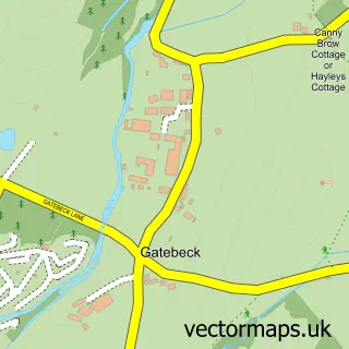
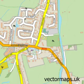
This Preston Patrick street map is a detailed vector street map covering a 750m x 750m area. Select a larger area to create and download your own vector street map of Preston Patrick.
The 750-metre map sample for Preston Patrick covers 62 mapped buildings and approximately 13.1 km of road detail, of which 2 named roads are named. The immediate area includes 3 MOT stations within 2 miles. The wider area around Preston Patrick features 1 food and drink venue and 2 campsites within 2 miles. To create a larger or custom map of Preston Patrick, the map builder lets you define your own coverage area and download editable SVG, PDF and PNG files.
Create a larger editable map of Preston Patrick
Choose any area you need and generate a high-quality vector map instantly. Perfect for print, planning, design, business and personal use.

This Preston Patrick street map in Cumbria is available as downloadable SVG, PDF and PNG map files, or as a printed map for planning, business, display, education, local information and design work. You can also create a larger custom map area using the map selector.
What this Preston Patrick map sample shows
Preston Patrick lies within Preston Richard Cp parish, part of Burton & Crooklands ward in the Westmorland And Furness local authority area. The postcode geography for this area includes the LA postcode area, the LA7 postcode district and the LA7 7 postcode sector. Residents fall under the Nhs Lancashire And South Cumbria Integrated Care Board for NHS services.
Local features near Preston Patrick
Within 2 milesAmenities and services in and around Preston Patrick.
Administrative and postcode information for Preston Patrick
Preston Patrick lies within Preston Richard Cp parish, part of Burton & Crooklands ward in the Westmorland And Furness local authority area. The postcode geography for this area includes the LA postcode area, the LA7 postcode district and the LA7 7 postcode sector. Residents fall under the Nhs Lancashire And South Cumbria Integrated Care Board for NHS services.
Nearby street map samples around Preston Patrick

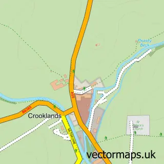
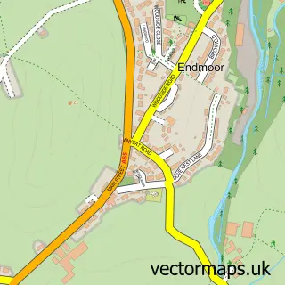
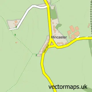
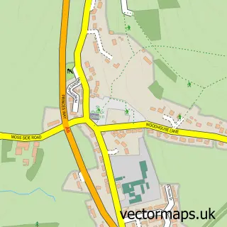
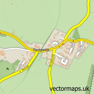
More street maps in Cumbria
750 metre map area coverage
Boundary, postcode and point of interest information for the 750m x 750m rectangle centred on this sample map.
Boundaries containing map centre
Constituency: Morecambe and Lunesdale Co Const
District: Westmorland and Furness
Icb: NHS Lancashire and South Cumbria ICB
Parish: Preston Patrick CP
Police Force: cumbria
Postcode District: LA7
Postcode Sector: LA7 7
Ward: Levens and Crooklands Ward
Nearby boundaries intersecting sample
Parish: Preston Richard CP
Postcode coverage
POI category counts
Gas Station: 4
Mobile Home Park: 2
Aquatic Pet Store: 1
Automotive Repair: 1
Business Consulting: 1
Church Cathedral: 1
Coffee Shop: 1
Cottage: 1
Home Health Care: 1
Human Resource Services: 1
Sample points of interest
- Woodlands Aquatics
- M6 Diesel Services
- Dove Nest Group
- St Patrick's Church
- Costa Coffee
- The Sizzit - holiday cottage
- AS 24
- Canal Garage, Crooklands
- TEXACO Station
- Texaco
- St. Gregory's House Ltd.
- Psyence Ltd.
Create a larger editable map of Preston Patrick
This sample shows only a 750 metre area. To create a larger map of Preston Patrick, use our map builder to choose your own coverage area, add titles and download editable SVG, PDF and PNG files.
Create a custom map of Preston Patrick