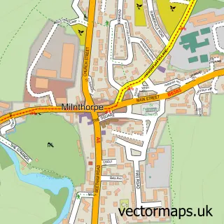
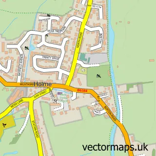
This Lupton street map is a detailed vector street map covering a 750m x 750m area. Select a larger area to create and download your own vector street map of Lupton.
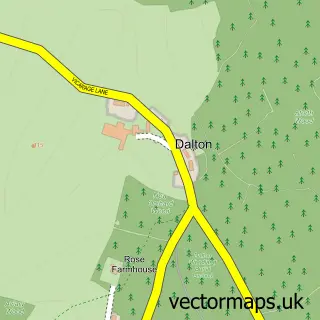
The 750-metre map sample for Lupton covers 33 mapped buildings and approximately 5.6 km of road detail, of which 1 named road are named. The immediate area includes 1 pub and 1 MOT station within 2 miles. The wider area around Lupton features 1 tourism point of interest, 1 food and drink venue and 2 campsites within 2 miles. To create a larger or custom map of Lupton, the map builder lets you define your own coverage area and download editable SVG, PDF and PNG files.
Create a larger editable map of Lupton
Choose any area you need and generate a high-quality vector map instantly. Perfect for print, planning, design, business and personal use.

This Lupton street map in Cumbria is available as downloadable SVG, PDF and PNG map files, or as a printed map for planning, business, display, education, local information and design work. You can also create a larger custom map area using the map selector.
What this Lupton map sample shows
Lupton lies within Lupton Cp parish, part of Burton & Crooklands ward in the Westmorland And Furness local authority area. The postcode geography for this area includes the LA postcode area, the LA6 postcode district and the LA6 1 postcode sector. Residents fall under the Nhs Lancashire And South Cumbria Integrated Care Board for NHS services.
Local features near Lupton
Within 2 milesAmenities and services in and around Lupton.
Administrative and postcode information for Lupton
The local authority covering Lupton is Westmorland And Furness, within the county of Cumbria. The settlement lies within Burton & Crooklands ward and Lupton Cp civil parish. The LA6 postcode district and LA6 1 postcode sector serve the immediate area. NHS provision in the area is delivered through University Hospitals Of Morecambe Bay Nhs Foundation Trust.
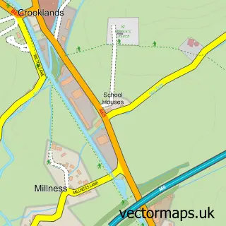
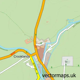
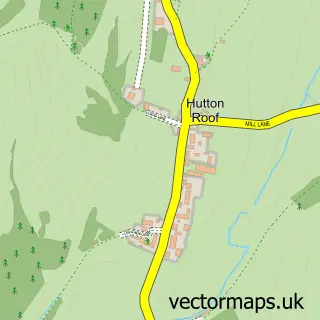
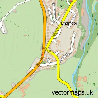
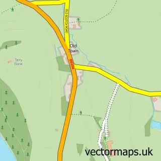
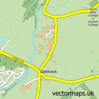
Nearby street map samples around Lupton

More street maps in Cumbria
750 metre map area coverage
Boundary, postcode and point of interest information for the 750m x 750m rectangle centred on this sample map.
Boundaries containing map centre
Constituency: Morecambe and Lunesdale Co Const
District: Westmorland and Furness
Icb: NHS Lancashire and South Cumbria ICB
Parish: Lupton CP
Police Force: cumbria
Postcode District: LA6
Postcode Sector: LA6 1
Ward: Burton and Holme Ward
Nearby boundaries intersecting sample
Parish: Beetham CP, Hutton Roof CP, Preston Patrick CP
Postcode Sector: LA6 2
Ward: Kent Estuary Ward, Levens and Crooklands Ward
Postcode coverage
POI category counts
Clothing Store: 1
Furniture Store: 1
Gift Shop: 1
Interior Design: 1
Kids Recreation And Party: 1
Landmark And Historical Building: 1
Nursery And Gardening: 1
Pub: 1
Sample points of interest
- Crabtree Country Clothing
- Dorothy Wightman
- Crabtree Christmas Trees
- Dorothy Wightman Interior Design
- Crabtree Clay Shoot
- Lupton, Cumbria
- Summerdale Garden
- The Plough
Create a larger editable map of Lupton
This sample shows only a 750 metre area. To create a larger map of Lupton, use our map builder to choose your own coverage area, add titles and download editable SVG, PDF and PNG files.
Create a custom map of Lupton