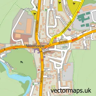
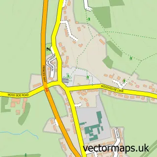
This Endmoor street map is a detailed vector street map covering a 750m x 750m area. Select a larger area to create and download your own vector street map of Endmoor.
The 750-metre map sample for Endmoor covers 176 mapped buildings and approximately 9.0 km of road detail, of which 13 named roads are named. The immediate area includes 1 pub and 2 MOT stations within 2 miles. The wider area around Endmoor features 1 food and drink venue, 1 hotel and 2 campsites within 2 miles. To create a larger or custom map of Endmoor, the map builder lets you define your own coverage area and download editable SVG, PDF and PNG files.
Create a larger editable map of Endmoor
Choose any area you need and generate a high-quality vector map instantly. Perfect for print, planning, design, business and personal use.

This Endmoor street map in Cumbria is available as downloadable SVG, PDF and PNG map files, or as a printed map for planning, business, display, education, local information and design work. You can also create a larger custom map area using the map selector.
What this Endmoor map sample shows
Endmoor lies within Preston Richard Cp parish, part of Burton & Crooklands ward in the Westmorland And Furness local authority area. The postcode geography for this area includes the LA postcode area, the LA8 postcode district and the LA8 0 postcode sector. Residents fall under the Nhs Lancashire And South Cumbria Integrated Care Board for NHS services.
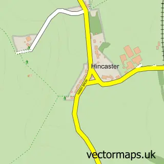
Local features near Endmoor
Within 2 milesAmenities and services in and around Endmoor.
Administrative and postcode information for Endmoor
The local authority covering Endmoor is Westmorland And Furness, within the county of Cumbria. The settlement lies within Burton & Crooklands ward and Preston Richard Cp civil parish. The LA8 postcode district and LA8 0 postcode sector serve the immediate area. NHS provision in the area is delivered through University Hospitals Of Morecambe Bay Nhs Foundation Trust.
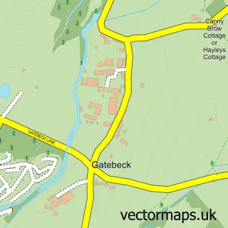
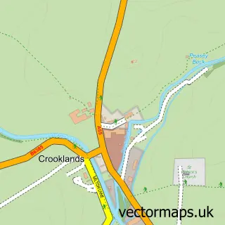
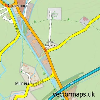
Nearby street map samples around Endmoor

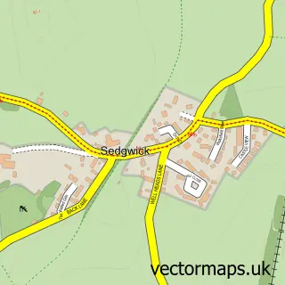
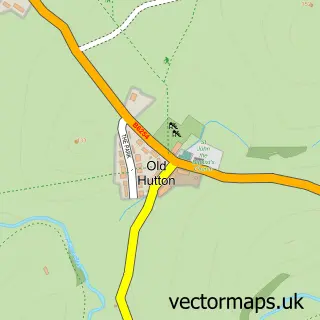
More street maps in Cumbria
750 metre map area coverage
Boundary, postcode and point of interest information for the 750m x 750m rectangle centred on this sample map.
Boundaries containing map centre
Constituency: Morecambe and Lunesdale Co Const
District: Westmorland and Furness
Icb: NHS Lancashire and South Cumbria ICB
Parish: Preston Richard CP
Police Force: cumbria
Postcode District: LA8
Postcode Sector: LA8 0
Ward: Levens and Crooklands Ward
Nearby boundaries intersecting sample
Parish: Preston Patrick CP
Postcode District: LA7
Postcode Sector: LA7 7
Postcode coverage
POI category counts
Electrician: 2
Agricultural Cooperatives: 1
Arts And Crafts: 1
Automotive Repair: 1
Bakery: 1
Building Supply Store: 1
Community Center: 1
Elementary School: 1
Firewood: 1
Furniture Store: 1
Sample points of interest
- Escrigg Jacob & Icelandic Sheep
- Threads4u
- Ie.Ie Limited
- Endmoor Bakery
- JL Mason Stump Technik
- Endmoor Village Hall
- ARC Electrics
- Darren Walsh Ltd
- St Patricks C of E School
- Ez Logs Firewood
- Ikan Kitchens
- Cherry Garth Hotel
Create a larger editable map of Endmoor
This sample shows only a 750 metre area. To create a larger map of Endmoor, use our map builder to choose your own coverage area, add titles and download editable SVG, PDF and PNG files.
Create a custom map of Endmoor