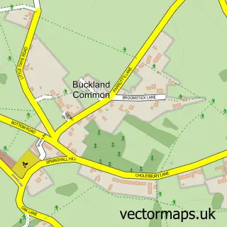
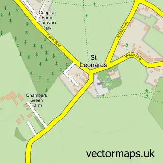
This Bellingdon street map is a detailed vector street map covering a 750m x 750m area. Select a larger area to create and download your own vector street map of Bellingdon.
The 750-metre map sample for Bellingdon covers 95 mapped buildings and approximately 11.6 km of road detail, of which 4 named roads are named. The immediate area includes 3 MOT stations within 2 miles. To create a larger or custom map of Bellingdon, the map builder lets you define your own coverage area and download editable SVG, PDF and PNG files.
Create a larger editable map of Bellingdon
Choose any area you need and generate a high-quality vector map instantly. Perfect for print, planning, design, business and personal use.

This Bellingdon street map in Buckinghamshire is available as downloadable SVG, PDF and PNG map files, or as a printed map for planning, business, display, education, local information and design work. You can also create a larger custom map area using the map selector.
What this Bellingdon map sample shows
Bellingdon lies within Chartridge Cp parish, part of Cholesbury, The Lee And Bellingdon ward in the Buckinghamshire local authority area. The postcode geography for this area includes the HP postcode area, the HP5 postcode district and the HP5 2 postcode sector. Residents fall under the Nhs Buckinghamshire, Oxfordshire And Berkshire West Integrated Care Board for NHS services.
Local features near Bellingdon
Within 2 milesAmenities and services in and around Bellingdon.
Administrative and postcode information for Bellingdon
Bellingdon lies within Chartridge Cp parish, part of Cholesbury, The Lee And Bellingdon ward in the Buckinghamshire local authority area. The postcode geography for this area includes the HP postcode area, the HP5 postcode district and the HP5 2 postcode sector. Residents fall under the Nhs Buckinghamshire, Oxfordshire And Berkshire West Integrated Care Board for NHS services.
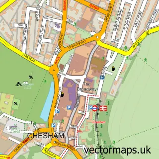
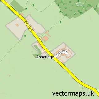
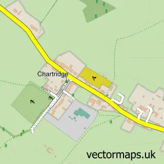
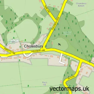
Nearby street map samples around Bellingdon

More street maps in Buckinghamshire
750 metre map area coverage
Boundary, postcode and point of interest information for the 750m x 750m rectangle centred on this sample map.
Boundaries containing map centre
Constituency: Mid Buckinghamshire Co Const
District: Buckinghamshire
Icb: NHS Thames Valley ICB
Parish: Chartridge CP
Police Force: thames valley
Postcode District: HP5
Postcode Sector: HP5 2
Ward: Chesham North Ward
Nearby boundaries intersecting sample
Parish: Cholesbury-cum-St. Leonards CP
Postcode coverage
POI category counts
Electrician: 2
Bridal Shop: 1
Business: 1
Day Care Preschool: 1
Farm: 1
Interior Design: 1
International Business And Trade Services: 1
Printing Services: 1
Professional Services: 1
Topic Concert Venue: 1
Sample points of interest
- Mills Films
- Vivakti
- The Village Nursery Bellingdon
- Docwra Property Management
- Nixon Electrical Contractors
- Pathfinder Ostrich Farm
- County Interior Design
- Docwra Property Management Ltd.
- Bellingdon and Asheridge Community Association
- Bellingdon & Ashridge Village Hall
- Bellingdon Village Hall
Create a larger editable map of Bellingdon
This sample shows only a 750 metre area. To create a larger map of Bellingdon, use our map builder to choose your own coverage area, add titles and download editable SVG, PDF and PNG files.
Create a custom map of Bellingdon