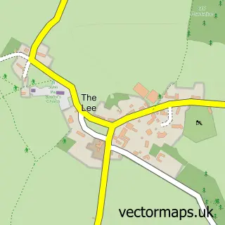
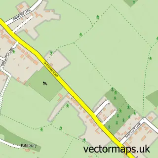
This Lee Common street map is a detailed vector street map covering a 750m x 750m area. Select a larger area to create and download your own vector street map of Lee Common.
The 750-metre map sample for Lee Common covers 150 mapped buildings and approximately 8.6 km of road detail, of which 6 named roads are named. The immediate area includes 2 MOT stations within 2 miles. The wider area around Lee Common features 1 hotel. To create a larger or custom map of Lee Common, the map builder lets you define your own coverage area and download editable SVG, PDF and PNG files.
Create a larger editable map of Lee Common
Choose any area you need and generate a high-quality vector map instantly. Perfect for print, planning, design, business and personal use.

This Lee Common street map in Buckinghamshire is available as downloadable SVG, PDF and PNG map files, or as a printed map for planning, business, display, education, local information and design work. You can also create a larger custom map area using the map selector.
What this Lee Common map sample shows
Lee Common lies within The Lee Cp parish, part of Cholesbury, The Lee And Bellingdon ward in the Buckinghamshire local authority area. The postcode geography for this area includes the HP postcode area, the HP16 postcode district and the HP16 9 postcode sector. Residents fall under the Nhs Buckinghamshire, Oxfordshire And Berkshire West Integrated Care Board for NHS services.
Local features near Lee Common
Within 2 milesAmenities and services in and around Lee Common.
Administrative and postcode information for Lee Common
Lee Common lies within The Lee Cp parish, part of Cholesbury, The Lee And Bellingdon ward in the Buckinghamshire local authority area. The postcode geography for this area includes the HP postcode area, the HP16 postcode district and the HP16 9 postcode sector. Residents fall under the Nhs Buckinghamshire, Oxfordshire And Berkshire West Integrated Care Board for NHS services.
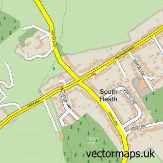
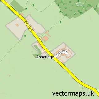
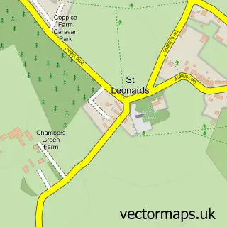
Nearby street map samples around Lee Common

More street maps in Buckinghamshire
750 metre map area coverage
Boundary, postcode and point of interest information for the 750m x 750m rectangle centred on this sample map.
Boundaries containing map centre
Constituency: Mid Buckinghamshire Co Const
District: Buckinghamshire
Icb: NHS Thames Valley ICB
Parish: The Lee CP
Police Force: thames valley
Postcode District: HP16
Postcode Sector: HP16 9
Ward: Chesham North Ward
Nearby boundaries intersecting sample
No additional intersecting boundaries found.
Postcode coverage
POI category counts
Builders: 1
Business Consulting: 1
Elementary School: 1
Furniture Store: 1
Hotel: 1
Professional Services: 1
Public Market: 1
Sample points of interest
- Murrell Estates Ltd.
- Macann Coaching
- Lee Common C of E School
- Provoke Design
- Lower Bassibones Farm
- Novi Most International
- The Shop At The Lee
Create a larger editable map of Lee Common
This sample shows only a 750 metre area. To create a larger map of Lee Common, use our map builder to choose your own coverage area, add titles and download editable SVG, PDF and PNG files.
Create a custom map of Lee Common