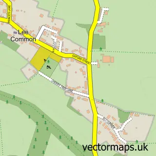
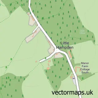
This The Lee street map is a detailed vector street map covering a 750m x 750m area. Select a larger area to create and download your own vector street map of The Lee.
The 750-metre map sample for The Lee covers 56 mapped buildings and approximately 12.3 km of road detail. The immediate area includes 3 pubs and 2 MOT stations within 2 miles. The wider area around The Lee features 3 food and drink venues. To create a larger or custom map of The Lee, the map builder lets you define your own coverage area and download editable SVG, PDF and PNG files.
Create a larger editable map of The Lee
Choose any area you need and generate a high-quality vector map instantly. Perfect for print, planning, design, business and personal use.

This The Lee street map in Buckinghamshire is available as downloadable SVG, PDF and PNG map files, or as a printed map for planning, business, display, education, local information and design work. You can also create a larger custom map area using the map selector.
What this The Lee map sample shows
The Lee lies within The Lee Cp parish, part of Cholesbury, The Lee And Bellingdon ward in the Buckinghamshire local authority area. The postcode geography for this area includes the HP postcode area, the HP16 postcode district and the HP16 9 postcode sector. Residents fall under the Nhs Buckinghamshire, Oxfordshire And Berkshire West Integrated Care Board for NHS services.
Local features near The Lee
Within 2 milesAmenities and services in and around The Lee.
Administrative and postcode information for The Lee
The local authority covering The Lee is Buckinghamshire, within the county of Buckinghamshire. The settlement lies within Cholesbury, The Lee And Bellingdon ward and The Lee Cp civil parish. The HP16 postcode district and HP16 9 postcode sector serve the immediate area. NHS provision in the area is delivered through Buckinghamshire Healthcare Nhs Trust.
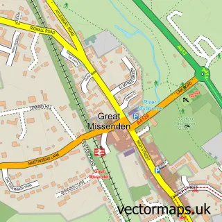
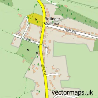
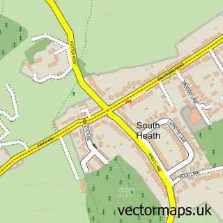
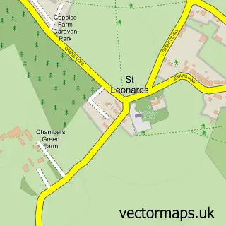
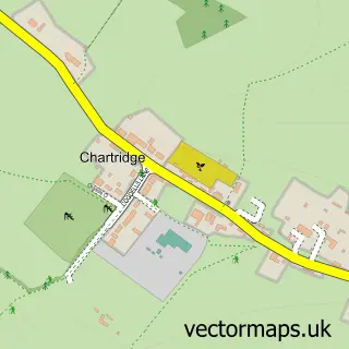
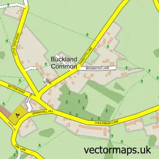
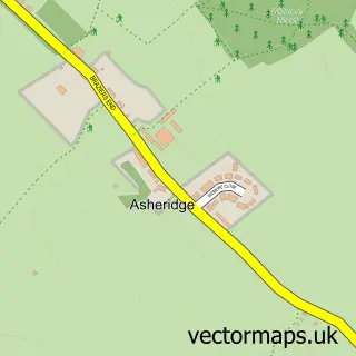
Nearby street map samples around The Lee

More street maps in Buckinghamshire
750 metre map area coverage
Boundary, postcode and point of interest information for the 750m x 750m rectangle centred on this sample map.
Boundaries containing map centre
Constituency: Mid Buckinghamshire Co Const
District: Buckinghamshire
Icb: NHS Thames Valley ICB
Parish: The Lee CP
Police Force: thames valley
Postcode District: HP16
Postcode Sector: HP16 9
Ward: Chesham North Ward
Nearby boundaries intersecting sample
No additional intersecting boundaries found.
Postcode coverage
POI category counts
Pub: 3
Anglican Church: 2
Active Life: 1
Arts And Entertainment: 1
Cricket Ground: 1
Event Photography: 1
Gardener: 1
Language School: 1
Sample points of interest
- The Lee Cricket Club
- St John the Baptist
- The Lee Old Church
- The Lee
- The Lee Cricket Club
- Chrissi Ratcliffe Photography LRPS
- Red Apple Gardening Services
- La Jolie Ronde Languages for Children
- Cock and Rabbit
- Graziemille Italian Restaurant
- The Cock and Rabbit Inn
Create a larger editable map of The Lee
This sample shows only a 750 metre area. To create a larger map of The Lee, use our map builder to choose your own coverage area, add titles and download editable SVG, PDF and PNG files.
Create a custom map of The Lee